Gauge Conditions
Runnable: ? – ? CFS
Approximate - nearest available gauge. Use as general reference only.
Data from American Whitewater & USGS
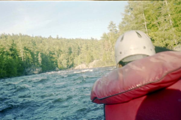
Photo
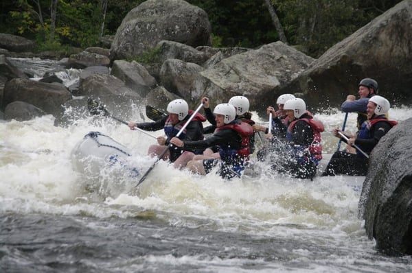
Photo courtesy of American Whitewater
Description
The Rt 27 Bridge Take-out is primarily a flat water exit point with minimal technical features, serving as the conclusion of the South Branch Carrabassett River run. Paddlers should be attentive to potential river debris, submerged rocks near the bridge abutments, and potential current variations depending on water levels. This takeout requires careful boat positioning and precise maneuvering to safely exit the river and access the roadside landing.
Location
Other Rapids on This Run (1)
View Full Run
AT Trail to Rt 27 Bridge
Carrabassett, South Branch
IV-V
3.6 mi
Current Conditions
5-Day Forecast
Whitewater data from
American Whitewater
American Whitewater