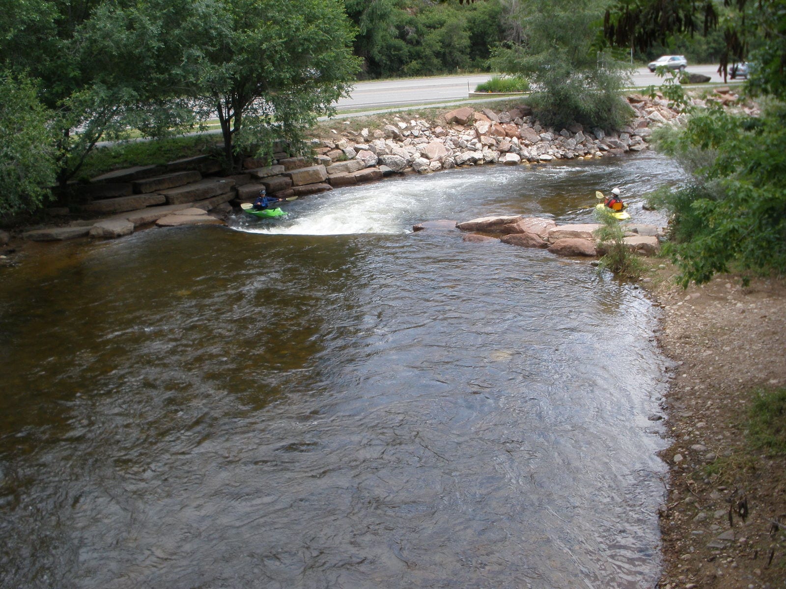
Take-out
CO
Take Out
Saint Vrain Creek, South - 01. Ceran St. Vrain TH to Middle St Vrain Confluence (CO)
Gauge Conditions
Runnable: ? – ? CFS
Approximate - nearest available gauge. Use as general reference only.
Data from American Whitewater & USGS
Photo

Photo courtesy of American Whitewater
Description
Take Out marks the conclusion of the Saint Vrain Creek section, characterized by a tight, technical exit point that requires precise boat positioning and careful maneuvering. Paddlers should be prepared for potential debris and narrow channels that can create unexpected hydraulics, with a recommended line that hugs the river right to avoid potential hazards.
Location
Other Rapids on This Run (1)
View Full Run
01. Ceran St. Vrain TH to Middle St Vrain Confluence
Saint Vrain Creek, South
V+
6.0 mi
Current Conditions
5-Day Forecast
Whitewater data from
American Whitewater
American Whitewater