Take-out
MO
Take Out
St. Francis - 1. Highway H bridge one mile west of Syenite to Highway 72 bridge (10.7 miles) (MO)
Gauge Conditions
Runnable: 3.5 – 10.0 FT
Too low for reasonable whitewater trip. (Do you have info on these flows? Add a comment or report!)
Data from American Whitewater & USGS
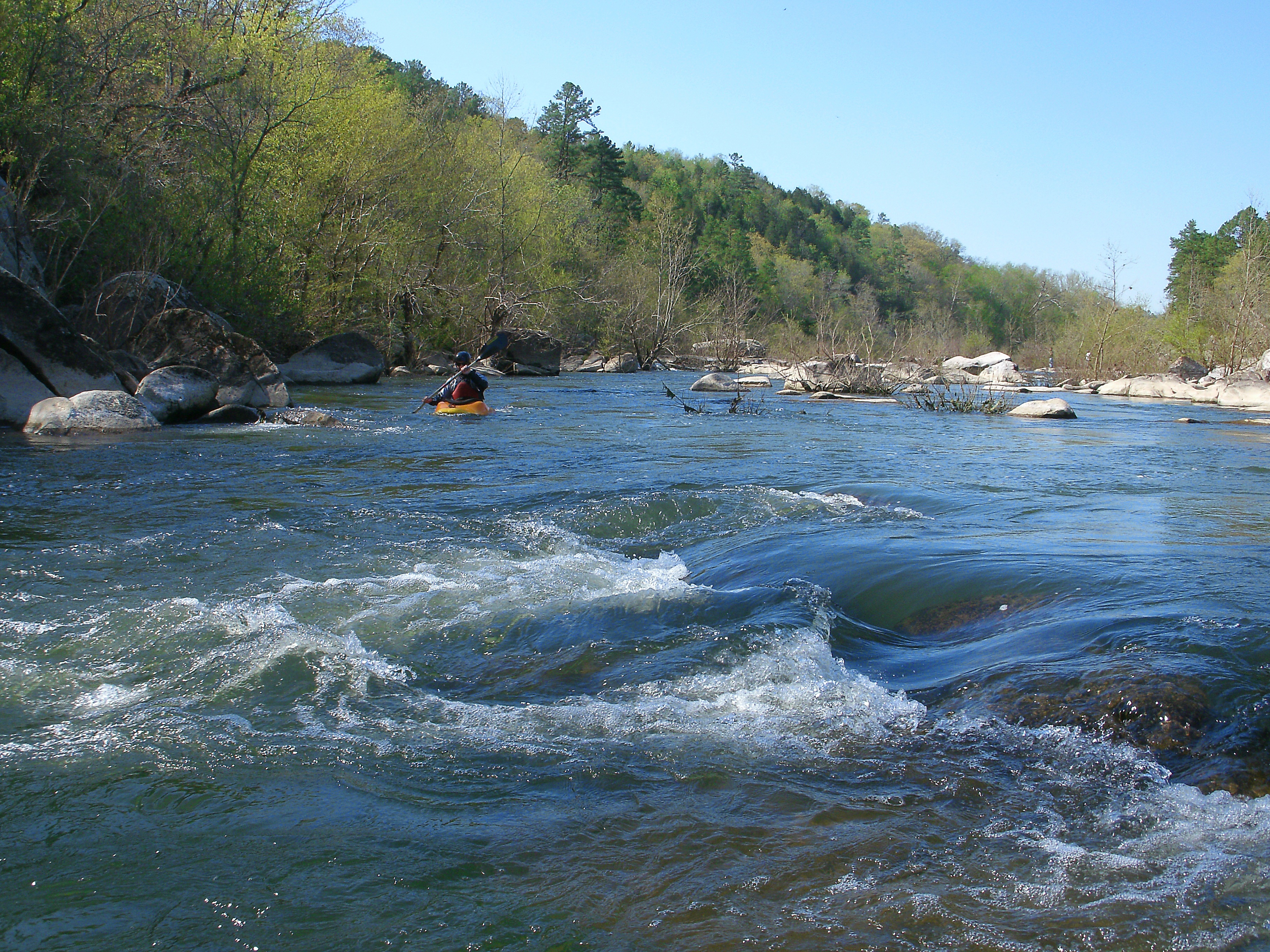
Photo
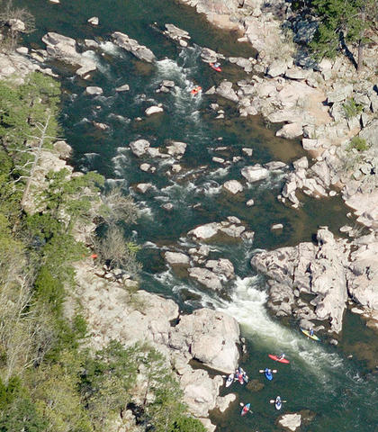
Photo courtesy of American Whitewater
Description
Take Out rapid is a relatively straightforward section of the St. Francis River with minimal technical challenges, situated near the end of the Highway H to Highway 72 river segment. Paddlers should remain alert for potential submerged rocks and maintain a clean line through the main channel, though specific hazards are not extensively documented for this rapid.
Location
Other Rapids on This Run (1)
View Full Run
1. Highway H bridge one mile west of Syenite to Highway 72 bridge (10.7 miles)
St. Francis
I-II
11.1 mi
Current Conditions
5-Day Forecast
Whitewater data from
American Whitewater
American Whitewater