Gauge Conditions
Runnable: 150.0 – 1,000.0 CFS
300-900 for rafts. Kayaks and duckies can get down as low as 150. It gets really pushy at the higher flows, and certainly over 1000.
Data from American Whitewater & USGS
Photo

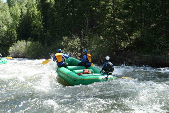
Photo courtesy of American Whitewater
Description
Take Out marks the end of the Belt Creek run, featuring a straightforward exit point with potential for swift current and potential hazards near the shoreline. Paddlers should carefully scout the takeout location and be prepared for potential obstacles or uneven terrain when exiting the river.
Location
Other Rapids on This Run (2)
View Full Run
2. Monarch to Riceville
Belt Creek
II-III
16.0 mi
Current Conditions
5-Day Forecast
Whitewater data from
American Whitewater
American Whitewater