Gauge Conditions
Runnable: ? – ? CFS
Approximate - nearest available gauge. Use as general reference only.
Data from American Whitewater & USGS
Photo
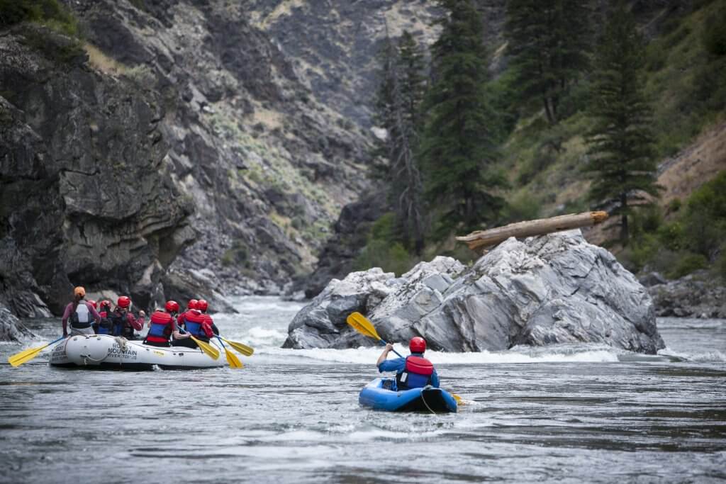
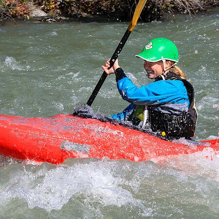
Photo courtesy of American Whitewater
Description
Take Out rapid marks the finale of the Grimes Creek run, characterized by a constricted channel that funnels water through a series of large boulders creating technical maneuvering challenges. Paddlers should be prepared for potential pin and entrapment hazards in the boulder field, with careful boat positioning and precise route selection critical for safe passage. Scouting is recommended, especially at varying water levels, to identify the cleanest line through the complex hydraulic environment.
Location
Other Rapids on This Run (1)
View Full Run
4 miles upstream of Highway 21 to Mores Creek confluence
Grimes Creek
II-III
4.8 mi
Current Conditions
5-Day Forecast
Whitewater data from
American Whitewater
American Whitewater