Gauge Conditions
Runnable: ? – ? CFS
Approximate - nearest available gauge. Use as general reference only.
Data from American Whitewater & USGS
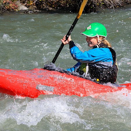
Photo
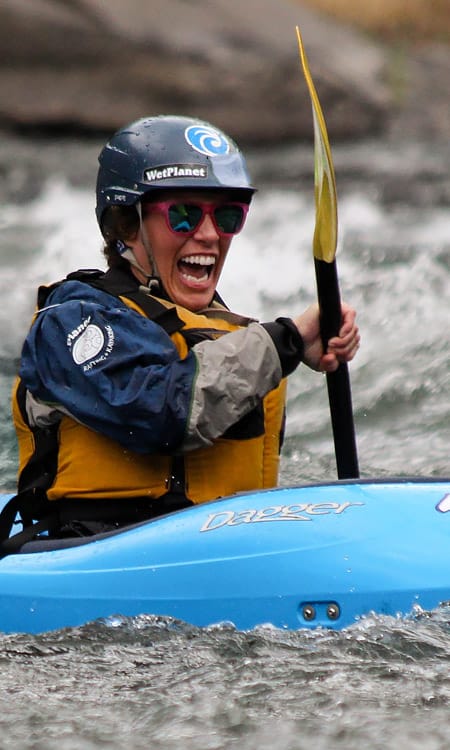
Photo courtesy of American Whitewater
Description
Take Out rapid on Rock Creek features a complex boulder garden with multiple potential routes requiring precise maneuvering. The rapid's entrance contains shifting, closely spaced rocks that demand careful boat placement and quick decision-making, with increased challenge during lower water levels. Paddlers should scout carefully and be prepared for potential pin and entrapment hazards in the tighter channel sections.
Location
Other Rapids on This Run (1)
View Full Run
Dole Valley Road to E. Fork Lewis River
Rock Creek (Lewis drainage)
II-III+
4.2 mi
Current Conditions
5-Day Forecast
Whitewater data from
American Whitewater
American Whitewater