Gauge Conditions
Data from American Whitewater & USGS
Photo
Photo courtesy of American Whitewater
Description
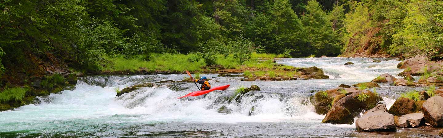
Take Out rapid on the Left Fork of the Holly River presents minimal technical challenges but requires careful navigation due to scattered rock gardens and potential submerged obstacles. Paddlers should scout the rapid carefully and choose a clean line through the scattered rocks, being mindful of potential pinning hazards in low water conditions. While not a high-difficulty rapid, attentiveness and precise boat control are essential for a clean descent.
Location
Other Rapids on This Run (1)
View Full Run
Hacker Valley to Mill Dam
Holly River, Left Fork
II-III
9.9 mi
Current Conditions
5-Day Forecast
Whitewater data from
American Whitewater
American Whitewater