Gauge Conditions
Data from American Whitewater & USGS
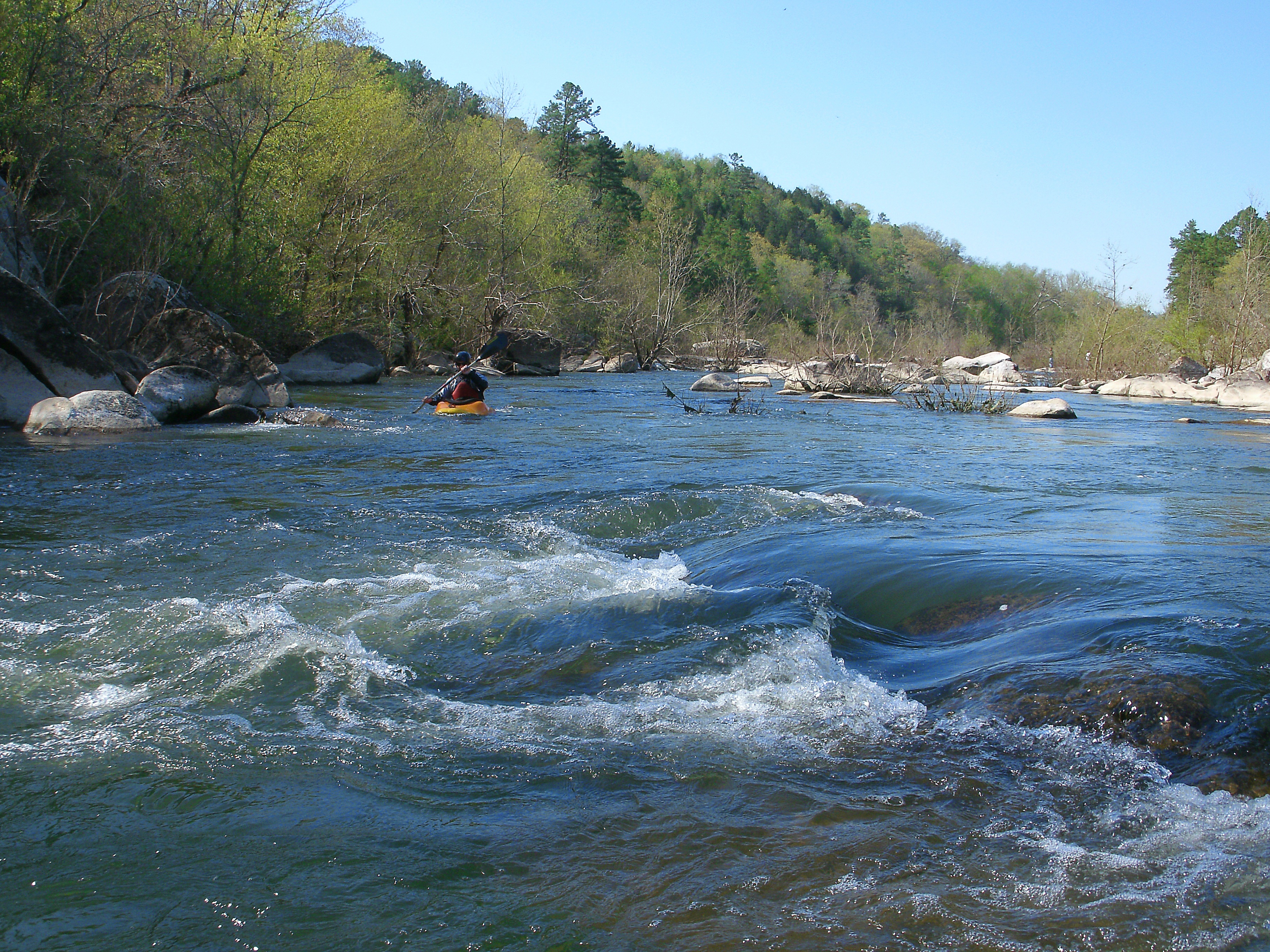
Photo
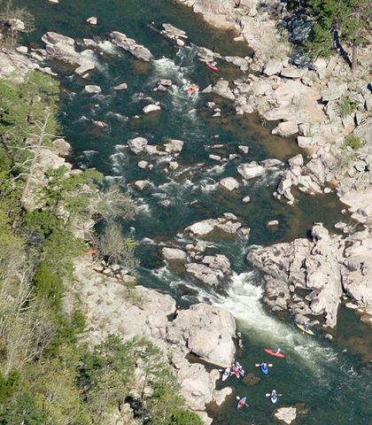
Photo courtesy of American Whitewater
Description
Take Out is located at the end of the 15-mile run where paddlers exit the river, likely requiring careful navigation through potential debris or shallow water conditions. While specific technical details are limited, the rapid's name suggests a strategic point of river egress that may demand precise maneuvering or scouting prior to extraction. Paddlers should assess current water levels and potential hazards near the takeout point to ensure a safe conclusion to their river descent.
Location
Other Rapids on This Run (1)
View Full Run
Highway 72 to St. Francis River (15 miles)
Little St. Francis
I-II
18.9 mi
Current Conditions
5-Day Forecast
Whitewater data from
American Whitewater
American Whitewater