Gauge Conditions
Runnable: ? – ? CFS
Approximate - nearest available gauge. Use as general reference only.
Data from American Whitewater & USGS
Photo

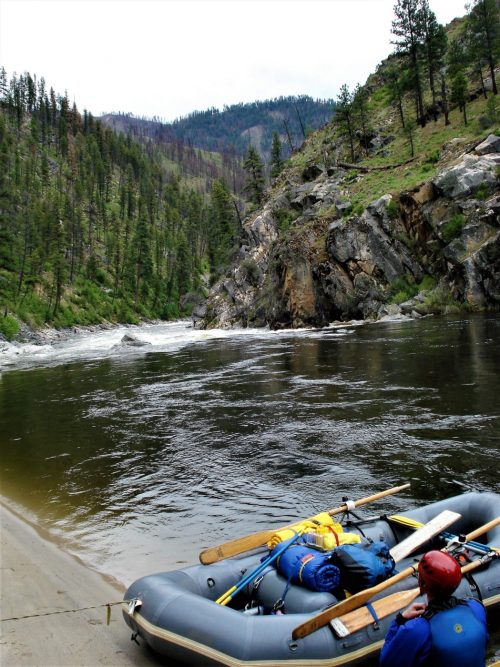
Photo courtesy of American Whitewater
Description
Take Out rapid on the Gallatin's South Fork West Fork is a transition zone marking the end of a paddling section, potentially featuring boulder gardens or tight technical maneuvers. Paddlers should be prepared for potential debris, shifting water channels, and the need for precise boat positioning as they approach the takeout point.
Location
Other Rapids on This Run (1)
View Full Run
Ousel Falls to .75 miles downstream
Gallatin, South Fork West Fork
IV-V(V+)
0.9 mi
Current Conditions
5-Day Forecast
Whitewater data from
American Whitewater
American Whitewater