Gauge Conditions
Runnable: ? – ? CFS
Approximate - nearest available gauge. Use as general reference only.
Data from American Whitewater & USGS
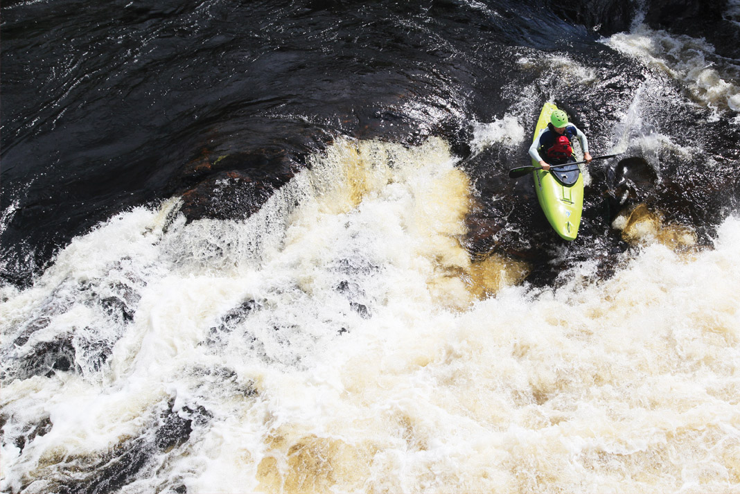
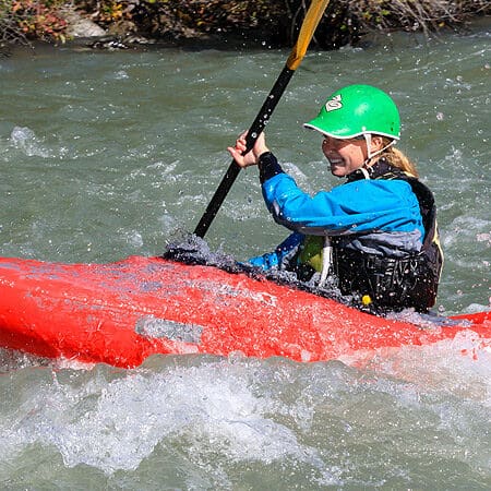
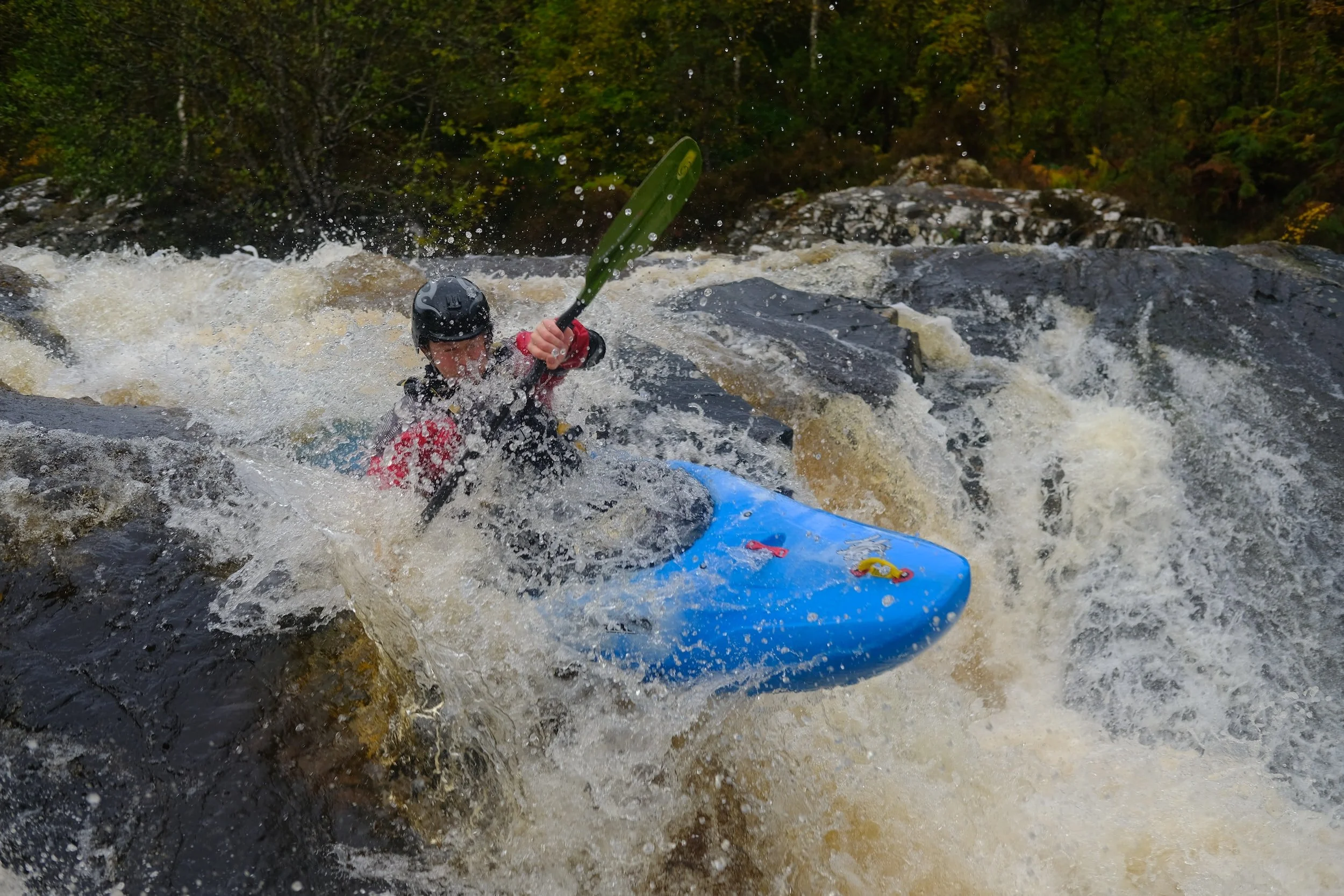
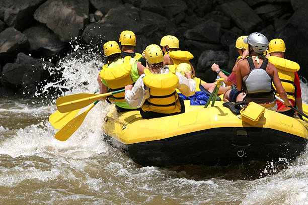
Photo
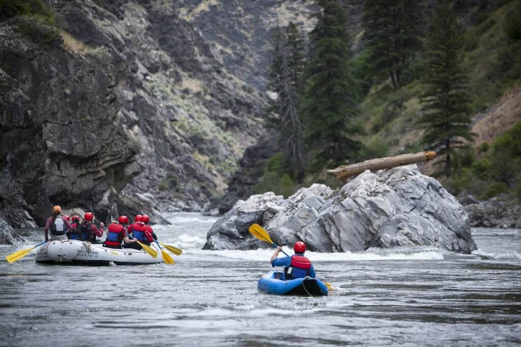
Photo courtesy of American Whitewater
Description
Take Out rapid on the Mullet River presents a straightforward transition point for paddlers completing their downstream run, with minimal technical challenges. While specific details are limited, boaters should remain alert for potential end-of-section obstacles and maintain proper line selection as they approach the takeout point.
Location
Other Rapids on This Run (20)
 Rapid
N/A
Rapid
N/A
Put In
Rapid
N/A
Notes:
Rapid
N/A
Put-in: Drainage area: ~56 sq.mi.
Rapid
N/A
Short Cut Road
Rapid
N/A
Opening rips
 Rapid
N/A
Rapid
N/A
CTH.PP
Rapid
N/A
Railroad Trestle
 Rapid
N/A
Rapid
N/A
Blueberry Lane
 Hazard
N/A
Hazard
N/A
Low bridge?
Rapid
N/A
Pleasant View Road
Rapid
N/A
Hwy.57
Rapid
N/A
High-Tension Lines
Hazard
N/A
Low bridge?
Rapid
N/A
Willow Road
Rapid
N/A
Ford
Rapid
N/A
Shoals
Rapid
N/A
Footbridge or ?
Rapid
N/A
Shoals
Rapid
N/A
CTH.M
Rapid
N/A
Sumac Road
View Full Run
S.of Plymouth to Old CTH.PP (up to 14.7 miles)
Mullet
I-II
14.0 mi
Current Conditions
5-Day Forecast
Whitewater data from
American Whitewater
American Whitewater