Gauge Conditions
Data from American Whitewater & USGS
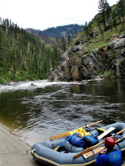
Photo
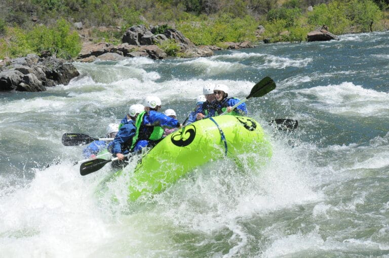
Photo courtesy of American Whitewater
Description
Take Out is a transition rapid marking the end of this river section, characterized by a broad, shallow dispersal of water over rocky terrain. Paddlers should be prepared for potential submerged obstacles and uneven water flow as they approach the takeout point, requiring careful navigation and awareness of water levels and conditions.
Location
Other Rapids on This Run (1)
View Full Run
Shawsville (Route 609) to Roanoke River (Route 727)
Roanoke, South Fork
I-II
8.0 mi
Current Conditions
5-Day Forecast
Whitewater data from
American Whitewater
American Whitewater