The Forest
South Sauty Creek - Intersection of County Roads 43 and 56 to Bucks Pocket (AL)
Gauge Conditions
7.5 - 8.2 USGS = 4 inches or less on the stick at the Pocket.
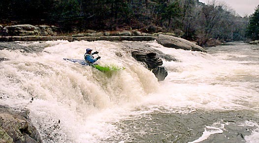
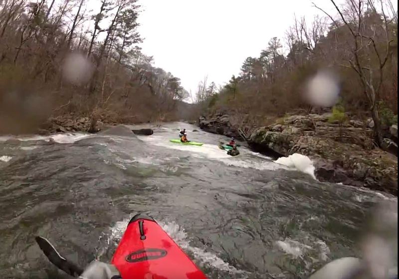
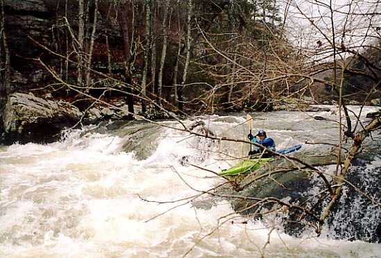
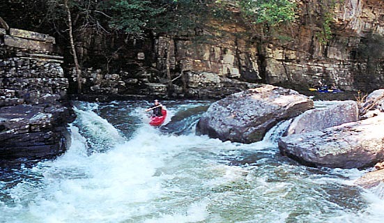
Photo

Description
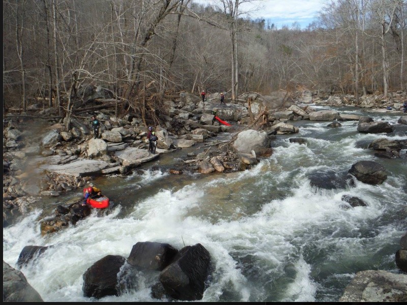
Somewhere shortly after Bonecrusher, the creekbed drops into the karst/porous base rock of Sand Mountain. If it's been awhile since it rained, you will lose quite a bit of water here. There are large sinkholes in several spots.
Unfortunately from Bonecrusher to Bucks Pocket is around 2 miles. Some III and III+ is in here, but after about a mile, you will find yourself boating through a thicket of saplings growing directly from the streambed.
This is where you will be punished if you are paddling less than 6 inches. Still, it's usually possible to boat through this section without getting out anywhere.
Location
Other Rapids on This Run (20)
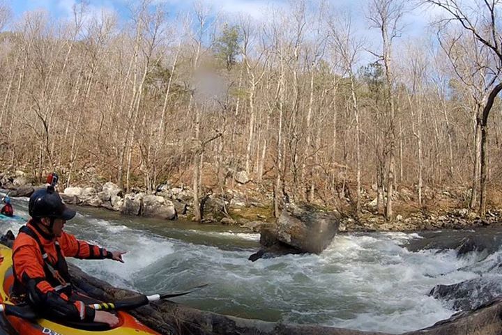
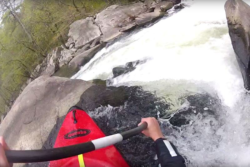
 Waterfall
III
Waterfall
III
 Hazard
III
Hazard
III
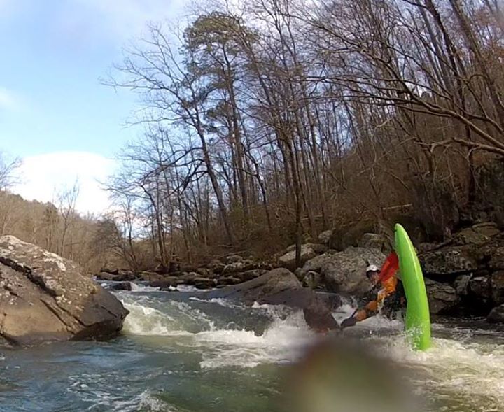
 Rapid
III+
Rapid
III+
 Rapid
III+
Rapid
III+
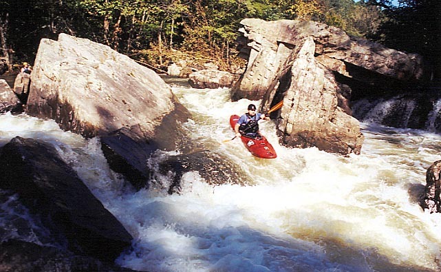
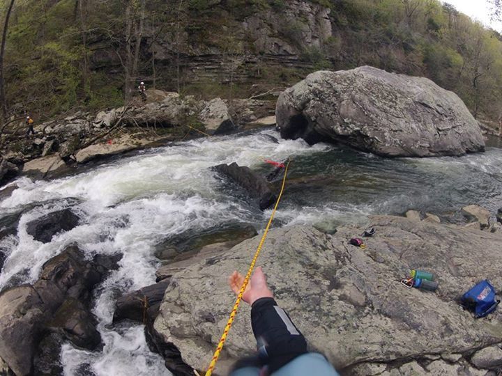 Hazard
IV
Hazard
IV
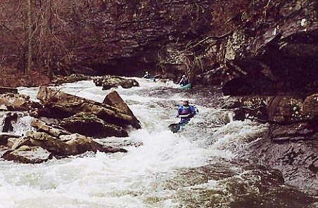 Rapid
III+
Rapid
III+
 Rapid
III+
Rapid
III+
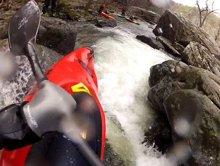
 Rapid
IV
Rapid
IV
 Rapid
IV
Rapid
IV
 Hazard
IV
Hazard
IV
 Rapid
IV
Rapid
IV
 Hazard
IV
Hazard
IV
Current Conditions
5-Day Forecast
American Whitewater