Gauge Conditions
Runnable: 500.0 – 2,000.0 CFS
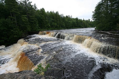
Adequate for main falls and left side of lower falls.
Data from American Whitewater & USGS
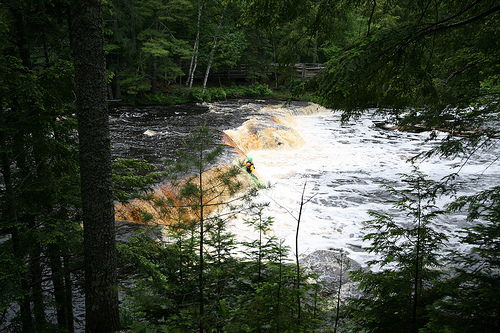
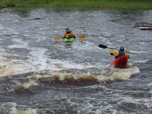
Photo
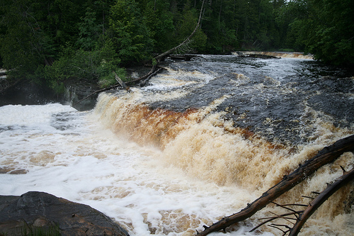
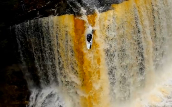
Photo courtesy of American Whitewater
Description
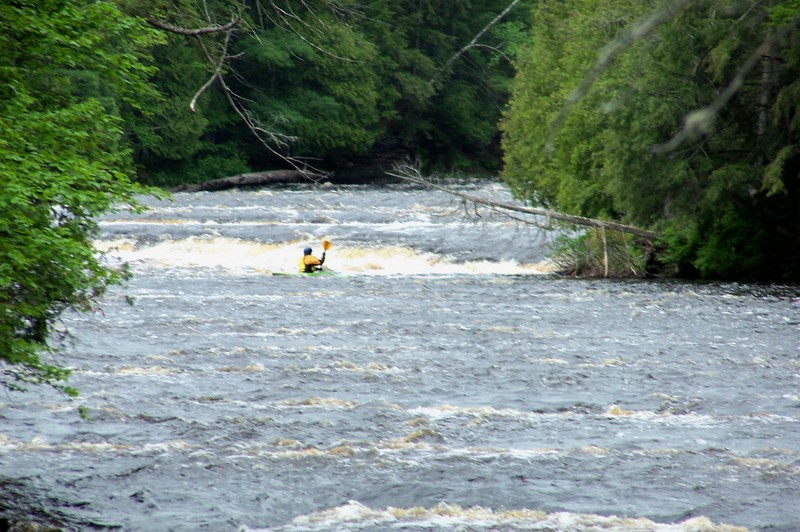
River left of big island, the second drop is another 6' to 8' ledge. A small island that splits the river again, and you can run on either side of the island, but the river-right side is a bit bony. The photo and video show the river-left side. There is really only one route which is on the right side, maybe 10' out from the island. Too far left and you'll run into the rock outcrop that the viewing platform is built on. The river really narrows here and there is kind of a tongue on the river right (you can see the smooth water in the photo). No boof is needed here as the water just washes you right through.
Location
View Full Run
Upper Falls to Lower Falls (4.1 miles)
Tahquamenon
IV-V
4.0 mi
Current Conditions
5-Day Forecast
Whitewater data from
American Whitewater
American Whitewater