03. Spring Island to Access 6
Linked via: Unknown Synced 6mo ago
Gauge Conditions
Runnable: 1,000.0 – 3,300.0 CFS
Data from American Whitewater & USGS
Run Map
Run Time Estimate
Select put-in and take-out to estimate time.
Unlock Advanced Trip Planning
See wind-adjusted speed maps, forecast planning, and detailed time estimates.
Sign in to generate an AI timing estimate for this run.
Whitewater timing varies with scouting, portages, and group pace. Use as a planning baseline.
Description
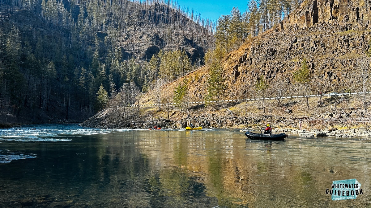
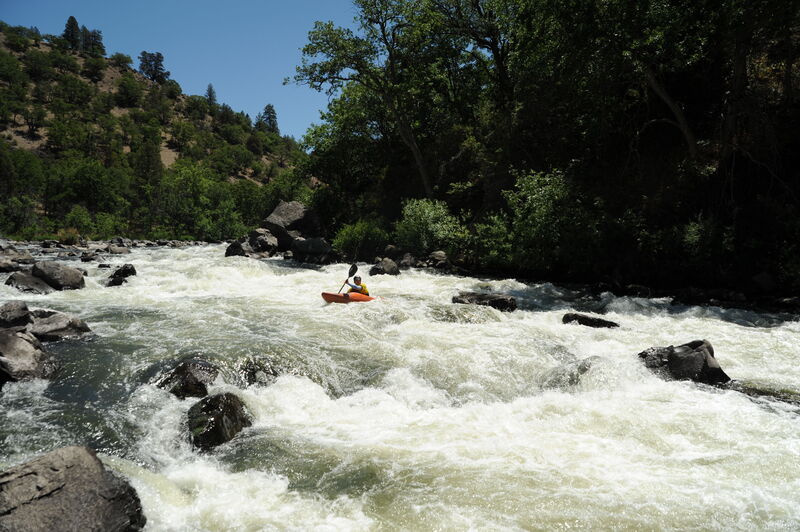
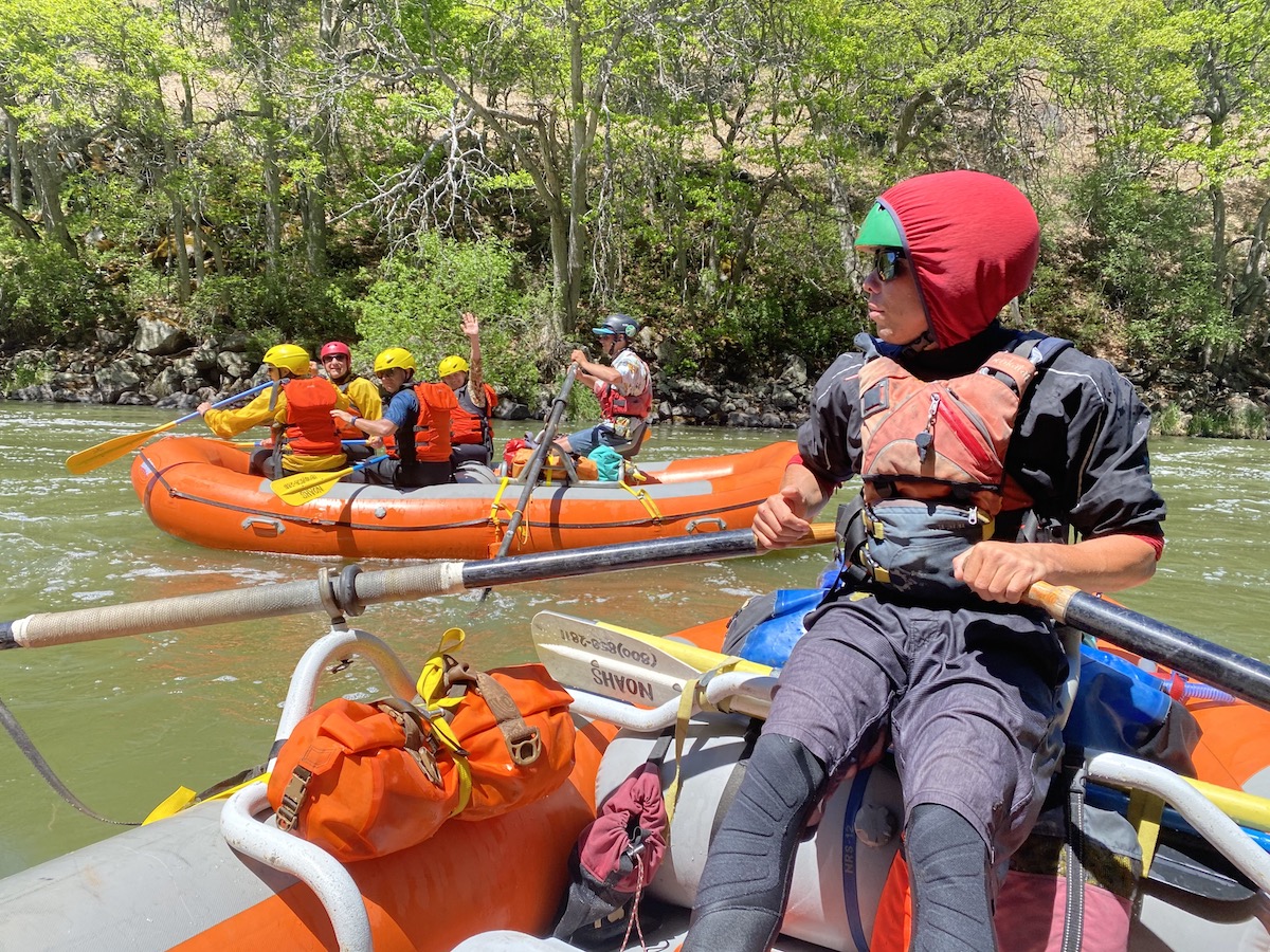
When boaters talk about the Upper Klamath, often called 'the UK', they are often referencing the run known as Hells Corner that takes river runners through a secluded canyon with gorgeous scenery, abundant wildlife, and a lot of whitewater. The run starts at Spring Island, a Bureau of Land Management recreation site just downstream of the site of the former J.C. Boyle Powerplant. Absent agricultural diversions, the river would flow at a great level through the summer, but currently it is heavily regulated with a significant portion of the flow extracted for agriculture in the upper basin. Allocation of water in the basin is a source of tension between those seeking to divert it out of the river for agriculture and those who recognize the needs of fish. Agricultural activity also results in increased nutrient loading that affects water quality. As is the case with fish, whitewater boaters would similarly benefit from having improved water quality and enhanced water quantity.
The Klamath River has a rich history of indigenous communities represented by the Klamath Tribes that continue to live in the upper watershed and have long depended on the fishery resources of the basin. European settlers came to the area for logging, mining, and agriculture. The main stage coach route from Yreka to Klamath Falls traveled up the south side of the canyon which is now the Topsy Grade. Along the road are small history markers that tell the tales of the ranchers and stage coach robberies. The primary industry along the river was logging the large ponderosa pines. After cutting the trees loggers would slide them down a chute to the river where they could be floated downstream to the mill. The remains of the Pokegama log chute located near the take-out can still be seen by those with a keen eye. The Frain Ranch, marking the dividing point between the easier and more challenging whitewater, contains evidence of the indigenous peoples who lived along the river here as well as historical artifacts from the time Martin Frain was homesteading the area. Whitewater boaters began to utilize the river in 1979 when Dean Munroe, of Wilderness Adventures, recognized the commercial potential of the run. He coined the term Hells Corner and named the majority of the rapids following a Wild West theme.
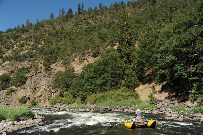
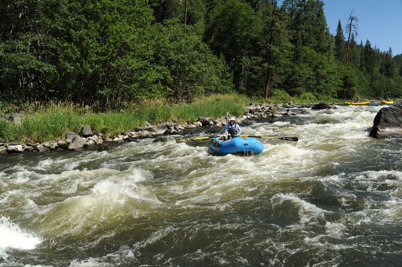
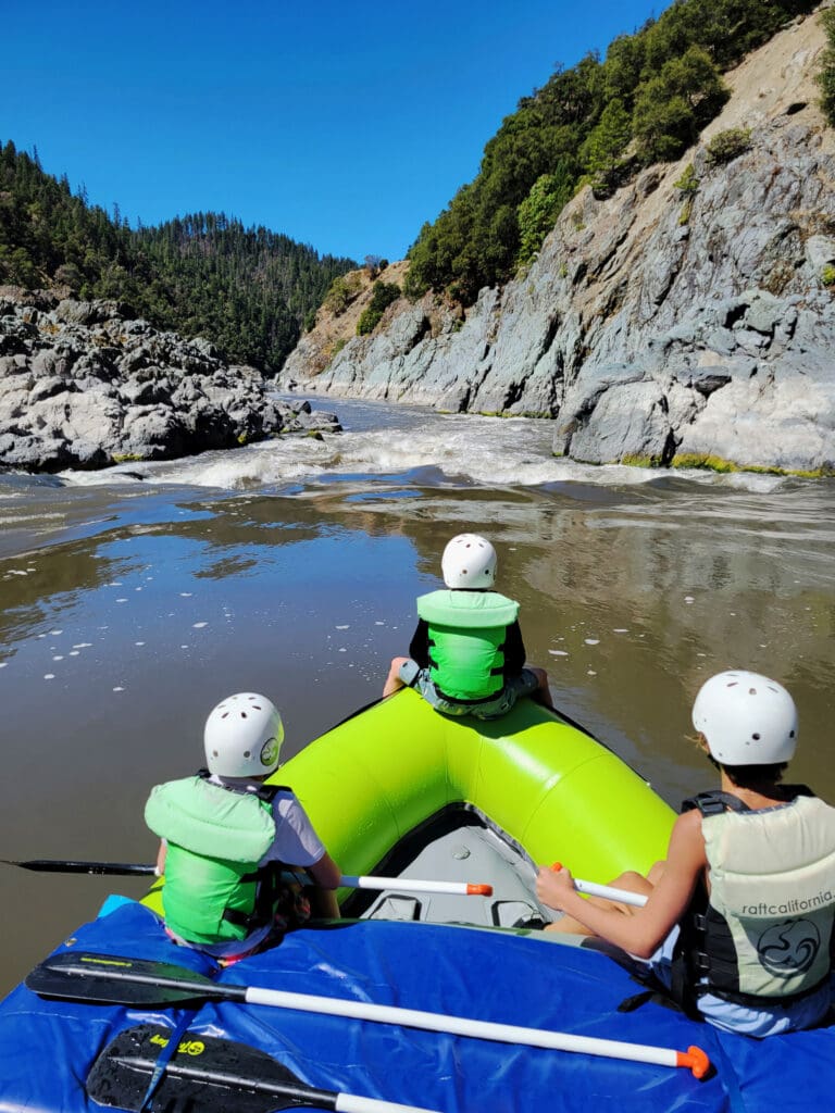
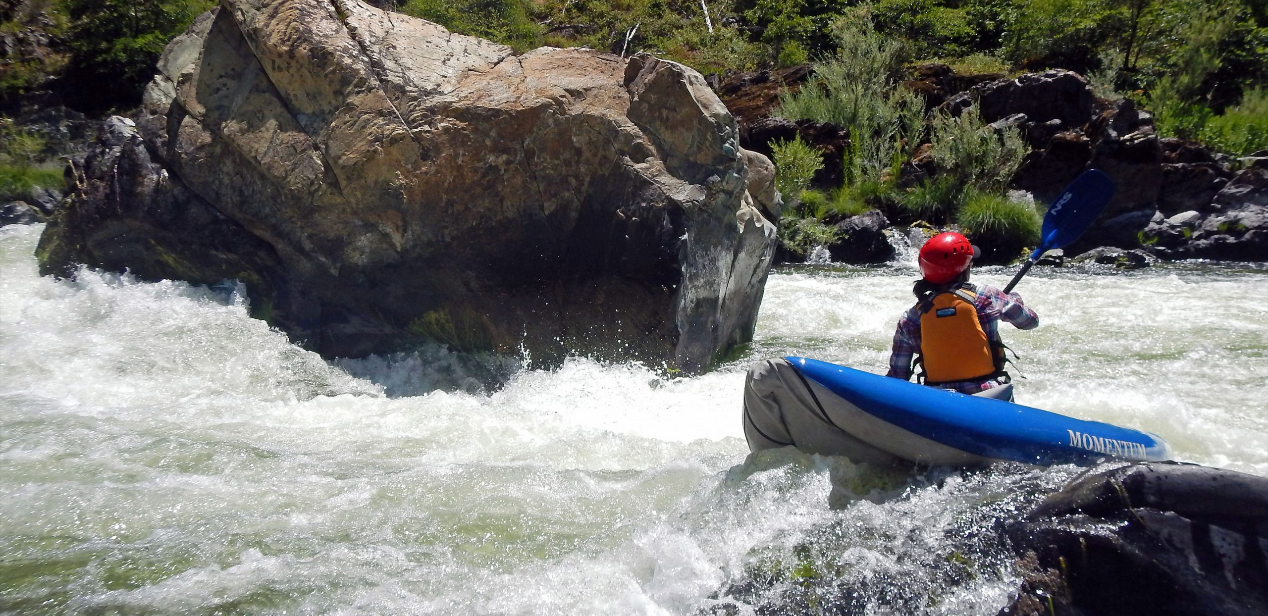
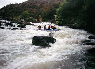
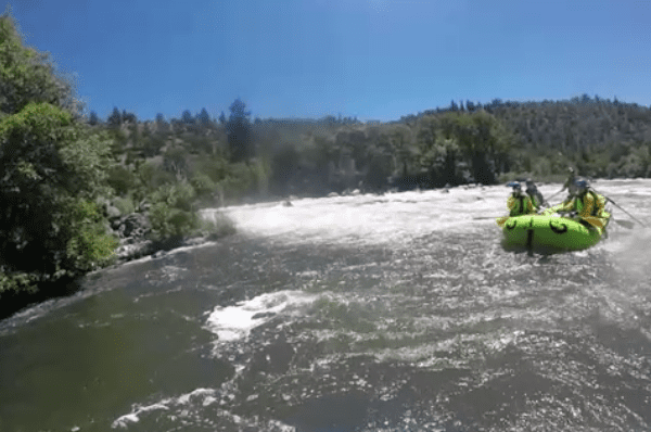
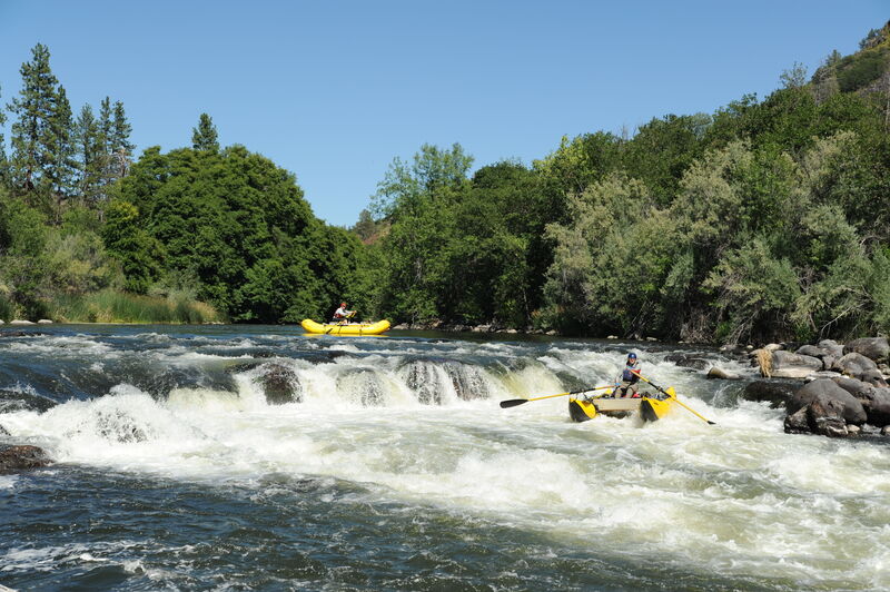
While many people refer to the Upper Klamath as continuous in nature, it really is a pool-drop river. The difficulty increases due to the length of the rapids, the numerous 90 degree blind corners, and the brown water that tends to hide the sharp volcanic rocks. These rocks create the majority of the hazards, mainly pins and nasty swims. At high water these hazards decrease, however the Upper Klamath doesn't wash out, it just gets bigger and develops a mean push over 3000 cfs. On the fun side, the Klamath offers some play on the fly, 6-8 foot haystack waves, and 3-4 foot pile on friendly holes!
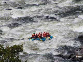
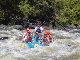
The Whitewater: This reach of the Klamath River can be subdivided into two sections. They are typically run together but can be run separately which can also simplify the shuttle logistics.
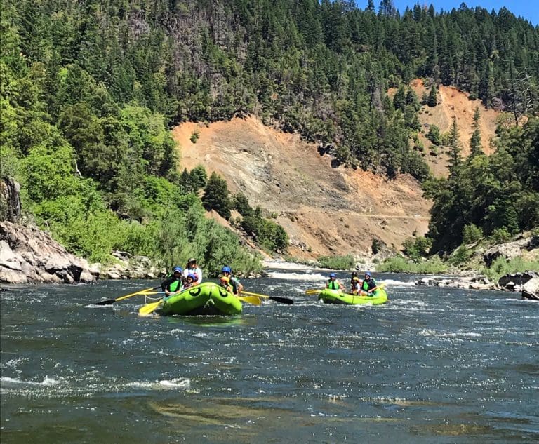
Spring Island to Frain Ranch, 5 miles, class II/III
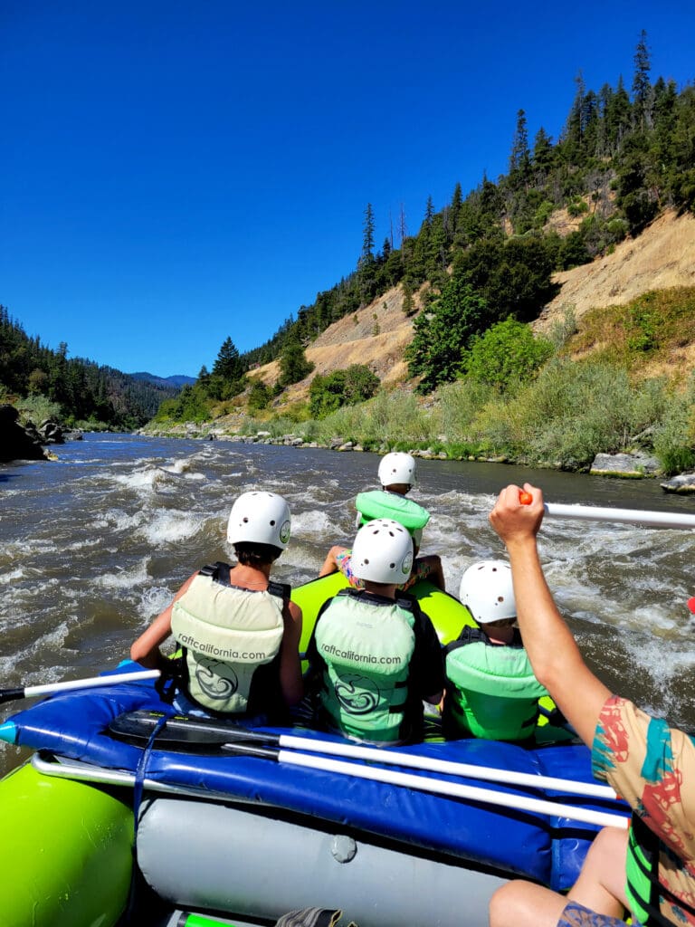
The run begins at Spring Island with easy class II and III rapids for warm up. These first 5 miles down to Frain Ranch can be enjoyed by beginner and intermediate paddlers who can take out on river right and utilized an easy shuttle (good for a bike) on the dirt road that parallels river right and provides access to a couple of Bureau of Land Management Campgrounds.
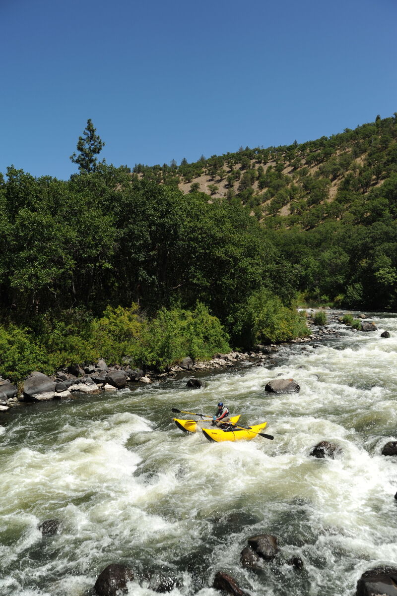
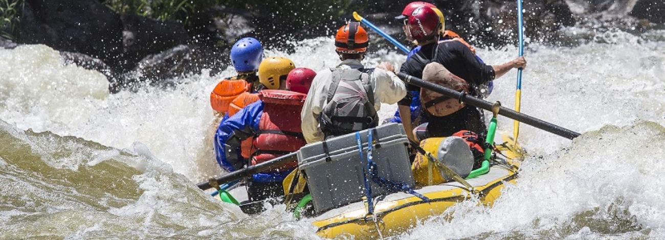
Frain Ranch to California Border (Stateline or Access 6), 6 miles, class IV
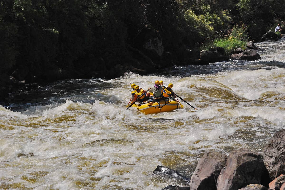
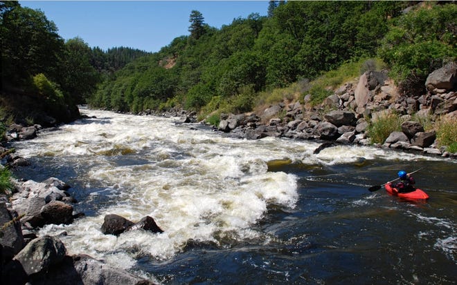
As you pass Frain Ranch, you soon reach an obvious horizon line at Caldera where the river enters the Hells Corner Gorge. Most groups get out on river left above this rapid and scout the entrance. Caldera marks the start of 6 miles of rapids that are more frequent and longer with fun waves and big hits. Once you get through Caldera and the drops that immediately follow, you have a short pause in the action as you approach Satans Gate. Here the river bends around to the right and then back left through Satans Gate, Hells Corner, and Dragon. You can catch eddies in between each of these rapids but it is the most challenging class IV sequence on the run. Many groups take a lunch break somewhere below this sequence.
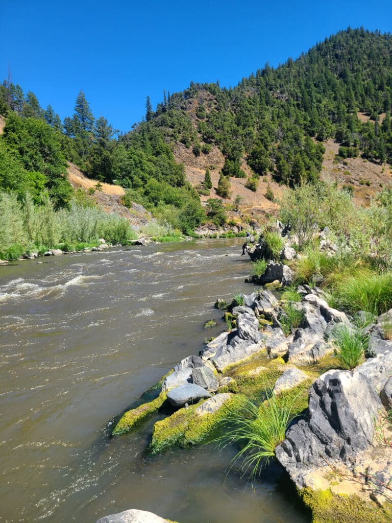
Below Dragon the rapids are more spaced out and mostly class III although there are several spots where you can get a loaded raft stuck (Ambush, Rainbow Rock, and Snag Island can all be particularly tricky). It's in this lower portion of the run that you pass the Salt Caves Dam Site, an early conservation victory for the whitewater boating community who worked to prevent this segment of river from being dammed. The action continues down to State Line Falls marking the border between Oregon and California. Some use the Stateline take out immediately downstream of the falls but many continue down to Access 6 which has easier access to the river.
Logistics:
The Upper Klamath is a remote river with limited access. The full run requires a long shuttle of 100 miles that is approximately 3 hours one way on well maintained roads. For this reason the run is most typically done by outfitters who have a driver that drops off the guests and boats and then drives around to meet the group at the take-out. Boaters can sometimes make arrangements for a shuttle driver with one of the raft companies in Ashland; the standard approach is to pick up a driver in Ashland, drive to the put-in with the driver, have the driver take your car after you launch and meet you at the take-out, and then you take the driver back to Ashland at the end of the trip. It's best to call around and make a plan a couple days in advance. Another approach, if you have a high-clearance vehicle is to drop a bike or vehicle at Stateline, and drive up river left from the take-out to Frain Ranch on the road that is known by one of three names: Copco Lake Road, Ager Beswick Road, and Topsy Grade Road. This is a shorter run, and shorter shuttle, that takes in just the big whitewater. The one downside is you are starting right at Caldera with no warm-up, but it cuts shuttle time by hours if you have the right vehicle.
Spring Island Launch is the main put-in about 1/4 mile below the site of the old powerhouse on river right. It is about 30 miles from Klamath Falls and 50 miles from Ashland. This day-use recreation site administered by the Bureau of Land Management has a trip registration box, pit toilets, gage, and a practice eddy. Overnight camping at the Spring Island Launch is prohibited. Campers should stay at Topsy Campground just upstream on river left. This campground has a host and is a fee campground that is actively managed and has about a dozen sites. For those seeking a less developed camping experience, a rough 3-mile drive past Spring Island put-in down the jeep road along river right leads to some designated camping areas that have outhouse toilets and fire pits.
Frain Ranch is an alternative put-in on river left that shortens the trip by about 5 miles. Frain Ranch is a great place to camp however there are no facilities. There used to be a composting toilet that Bureau of Land Management had to close due to vandalism. Most campsites have approved fire rings. Know the fire regulations before you build a fire. There are two main places where boaters put in at Frain. Using either put-in, you are about 10 minutes above Caldera Rapid. You can also take-out here on river right and shuttle back to Spring Island using the road that runs along river right.
Stateline Access is the first takeout on river-left after the gorge and is a popular place to take-out for those that put in at Frain Ranch. There is camping anda seasonal toilet. Access #6 is a short distance downstream on river-left and is the standard take-out for those who do not have a high clearance vehicle.
Rapids in this Run (30)
 Rapid
II
Rapid
II
Saddle Horn
 Rapid
III
Rapid
III
Osprey
 Rapid
III
Rapid
III
Gunslinger
Rapid
Frain Ranch
 Rapid
IV
Rapid
IV
Caldera
Rapid
III
Burmuda Triangle
 Rapid
III
Rapid
III
Gunsmoke
 Rapid
III
Rapid
III
Rock Creek (aka Upper Stage Coach)
 Rapid
III
Rapid
III
Stage Coach
 Rapid
III+
Rapid
III+
Branding Iron
 Rapid
IV
Rapid
IV
Satans Gate
 Rapid
IV+
Rapid
IV+
Hells Corner (upper)
 Rapid
IV
Rapid
IV
Hells Corner (lower)
 Rapid
IV
Rapid
IV
Dragon
 Rapid
III
Rapid
III
Jackass
 Rapid
III
Rapid
III
Scarface
 Rapid
III
Rapid
III
Dance Hall
 Rapid
IV
Rapid
IV
Ambush
 Rapid
III
Rapid
III
Ol' Bushwacker
 Rapid
Rapid
Salt Caves
Rapid
III
Rainbow Rock
 Rapid
III
Rapid
III
Pony Express
 Rapid
III
Rapid
III
Captain Jack
 Rapid
III
Rapid
III
Roughshod
 Rapid
III
Rapid
III
Snag Island Falls (left side)
 Rapid
III
Rapid
III
Snag Island (right side)
 Rapid
III
Rapid
III
Wells Fargo
 Rapid
III
Rapid
III
High Side Rock
 Rapid
III
Rapid
III
Stateline Falls
 Rapid
Rapid
Stateline Access
Difficulty
Class III-IV+
Length
12.0 mi
Gradient
46 ft/mi
max 90
Rapids
30
Access Points
Difficulty Classes
I Easy
II Novice
III Intermediate
IV Advanced
V Expert/Extreme
VI Unrunnable
Current Conditions
5-Day Forecast
Whitewater data from
American Whitewater
American Whitewater