Gauge Conditions
Photo
Description
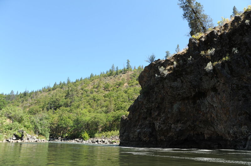
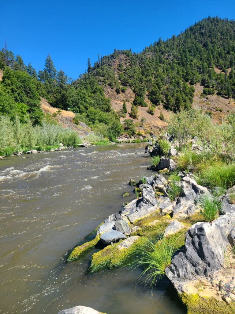
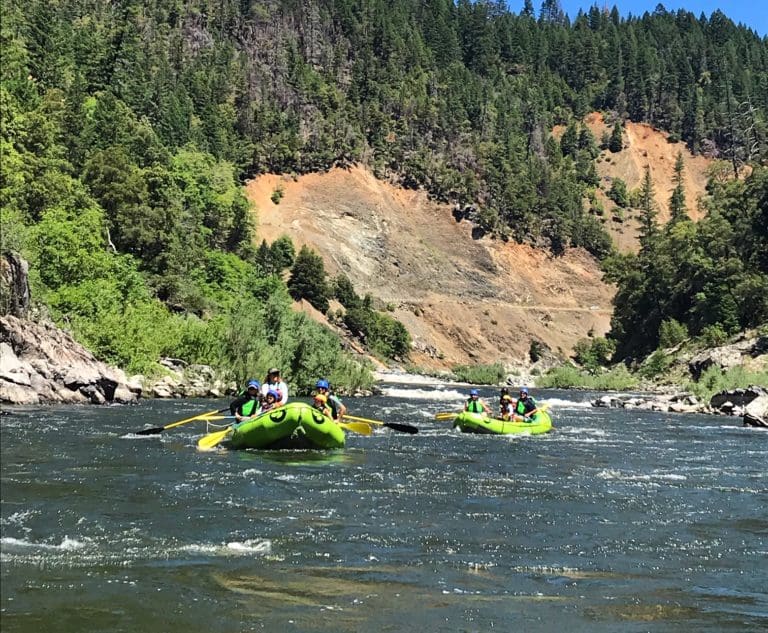
In 1978 Pacific Power and Light, (currently operating as PacifiCorp) worked with the City of Klamath Falls to file an application for the Salt Caves Dam that would have inundated the Klamath River between the J.C. Boyle and Copco dams and their associated reservoir. Today paddlers float past the dam site marked but the bedrock wall on river left just past Bushwhaker The proposed dam would have been an earth-fill dam 120 foot high and 380 foot across. Pacific Power and Light ultimately backed away from the project although the City continued to pursue it. The proposal ultimately died in 1994 when an 11-mile stretch of the Upper Klamath was designated Wild and Scenic at the request of the State of Oregon under Section 2aii of the Wild and Scenic Rivers Act.
Location
Other Rapids on This Run (20)
 Rapid
N/A
Rapid
N/A
 Rapid
II
Rapid
II
 Rapid
III
Rapid
III
 Rapid
III
Rapid
III
 Rapid
IV
Rapid
IV
 Rapid
III
Rapid
III
 Rapid
III
Rapid
III
 Rapid
III
Rapid
III
 Rapid
III+
Rapid
III+
 Rapid
IV
Rapid
IV
 Rapid
IV+
Rapid
IV+
 Rapid
IV
Rapid
IV
 Rapid
IV
Rapid
IV
 Rapid
III
Rapid
III
 Rapid
III
Rapid
III
 Rapid
III
Rapid
III
 Rapid
IV
Rapid
IV
 Rapid
III
Rapid
III
Current Conditions
5-Day Forecast
American Whitewater