10. Happy Camp to Coon Creek
Linked via: Unknown Synced 6mo ago
Gauge Conditions
Runnable: 700.0 – 8,000.0 CFS
Data from American Whitewater & USGS
Run Map
Run Time Estimate
Select put-in and take-out to estimate time.
Unlock Advanced Trip Planning
See wind-adjusted speed maps, forecast planning, and detailed time estimates.
Sign in to generate an AI timing estimate for this run.
Whitewater timing varies with scouting, portages, and group pace. Use as a planning baseline.
Description
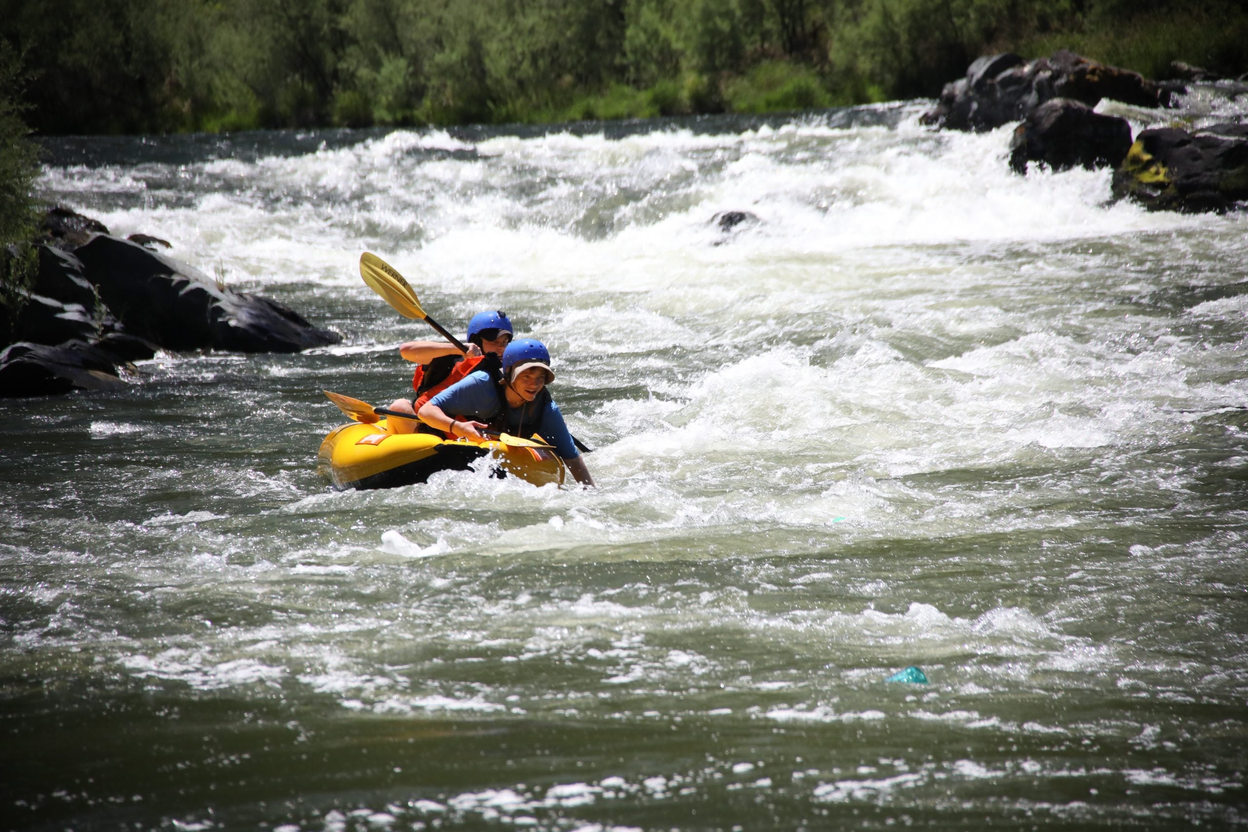
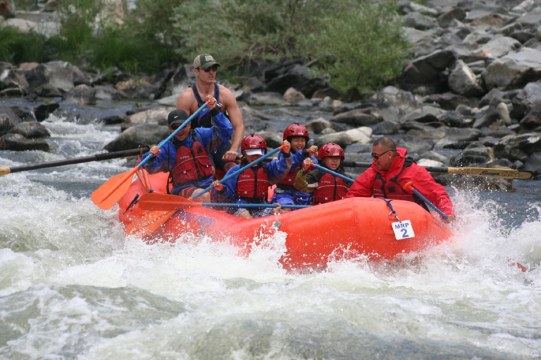
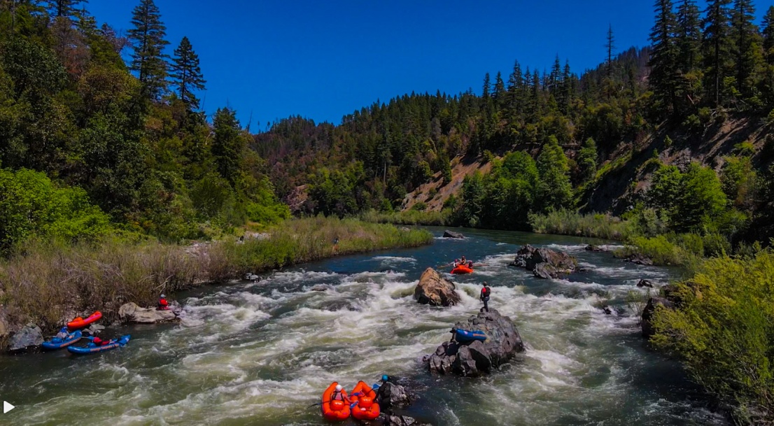
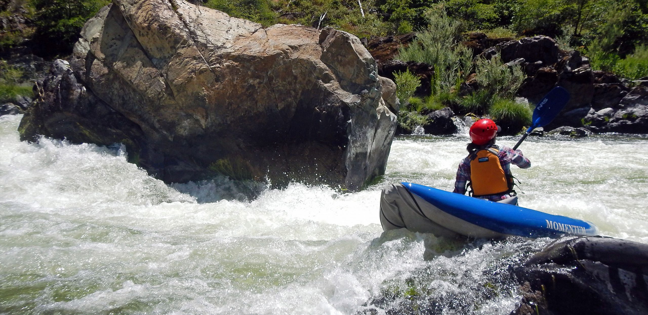
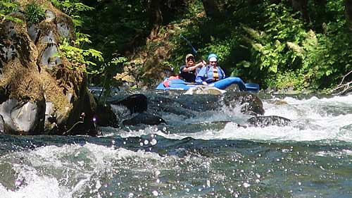
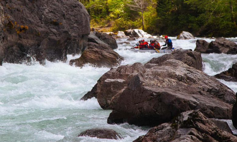
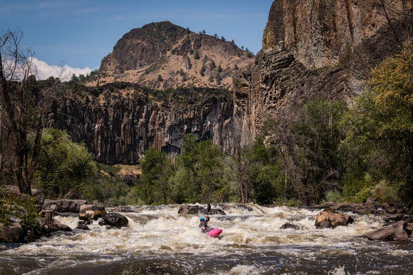
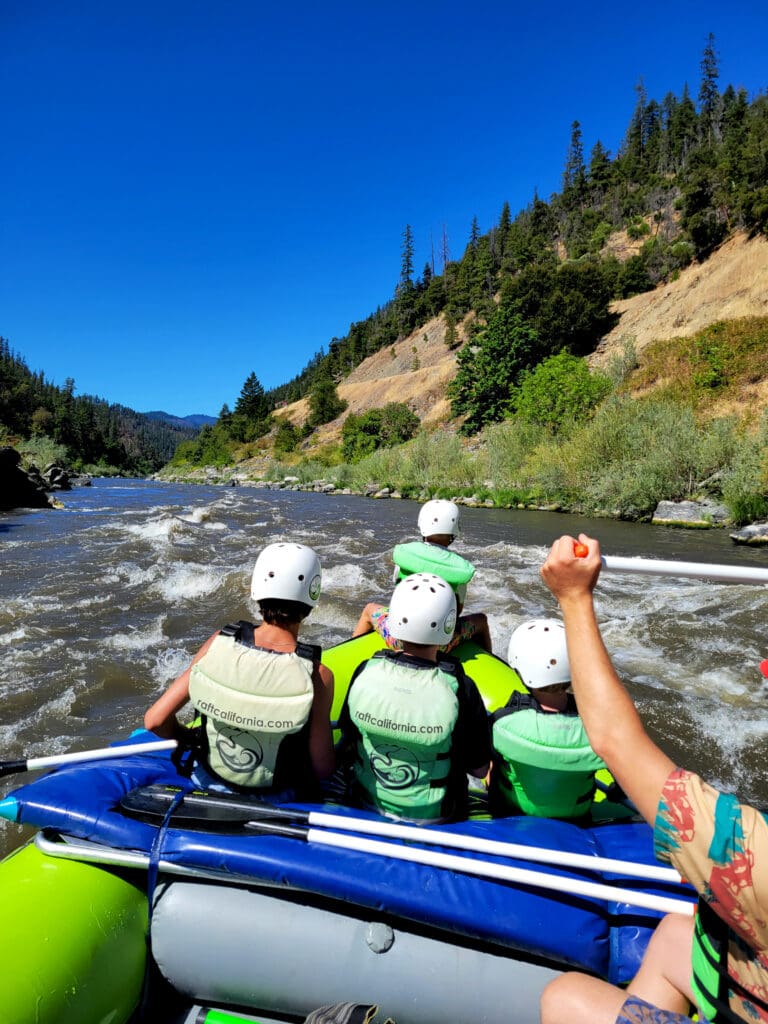
Big water rapids, warm water, and minimal hazards are the trademarks of the Mid Klamath in summertime. Most rapids are class II wave trains with a few larger rapids thrown in to spice things up. The exception is class IV *Dragon's Tooth* which loves to flip rafts but doesn't pose too much of a hazard.
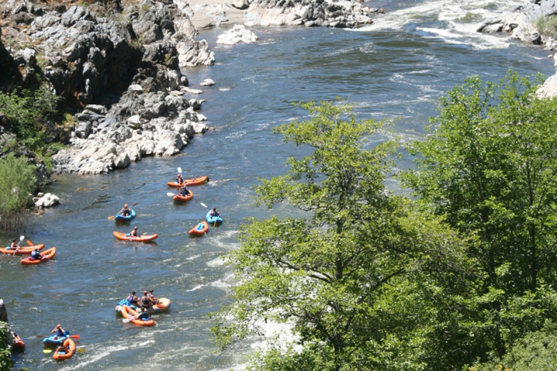
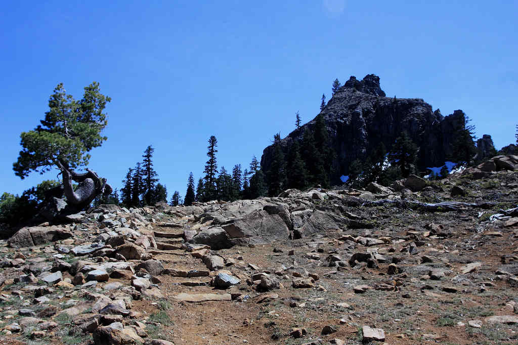
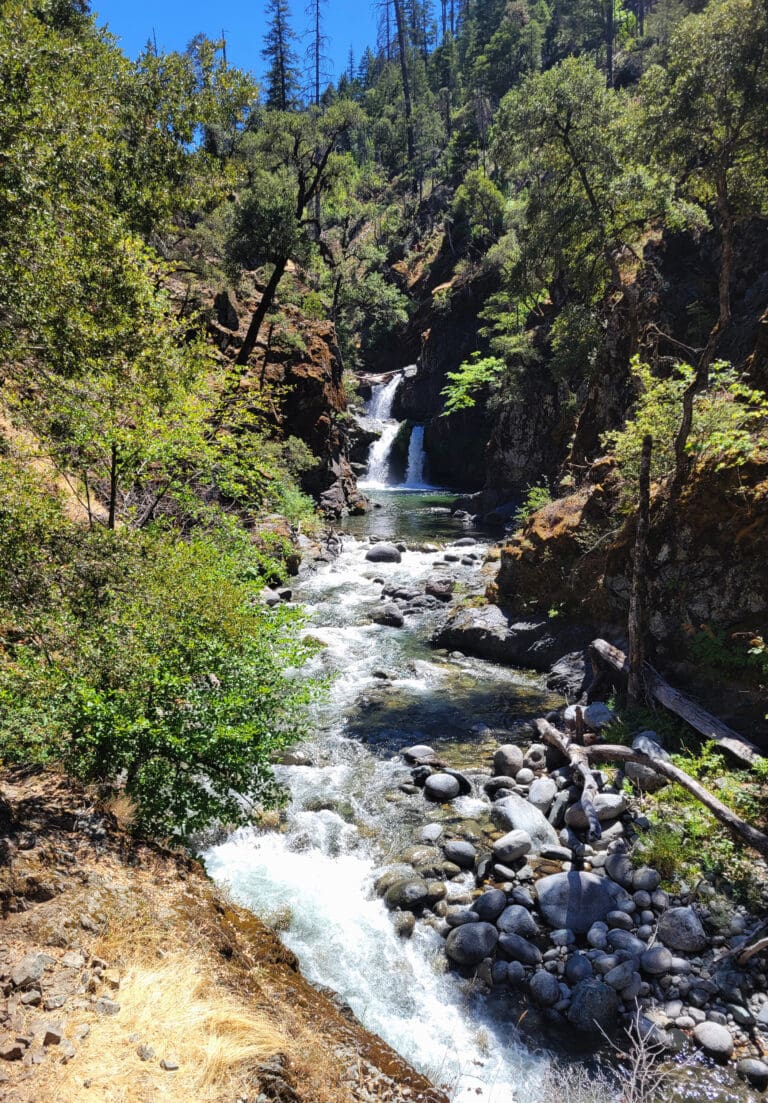
Year-round flows make the Klamath a popular option for summer boating, offering a variety of day trips or multi-day car- or boat-supported trips. Highway 96 parallels the river but is often out of view, and the scenery is very nice. Wildlife are abundant with eagle and osprey sightings being common, as well as otters, black bear, and elk. Seventeen miles below Happy Camp, Ukonom Creek is a popular side hike with lush vegetation and a beautiful waterfall.
Ceremonial Use of the Klamath River and Temporary Closures in Summer
Each summer, the Karuk Tribe conducts important ceremonial practices along the Klamath River. During these times, the Tribe asks for privacy on specific stretches of the river and at certain river access sites. While the U.S. Forest Service issues official closure orders to help support this need, those orders alone do not fully reflect the Tribe’s need for uninterrupted privacy during ceremonies.
To honor and respect these cultural traditions:
- Do not put in at Wingate Bar or float past Wingate Bar when the Wingate boat launch prohibition is in effect, even if you launched from upstream (July 24–August 2 and August 18–27, 2025).
- Do not enter or use the Ferry Point or Independence river accesses when closed for ceremonies (August 18–27, 2025). This coincides with the time that you should not launch from or float past Wingate Bar upstream.
- During the Ferry Point closure (August 18–27, 2025), the next permissable river access to use for launching is the Coon Creek River Access.
Please plan your trip accordingly and honor the Tribe’s request for privacy during these sacred ceremonies. Your cooperation shows respect for the river and those with deep ancestral ties to it.
The Forest Service's closure orders for 2025 are posted on the Klamath National Forest website alert page as three separate orders: \#25-05-01, \#25-05-02, and \#25-05-03 and 10-25-04. Again, these orders do not fully provide for the necessary privacy, so please be sure to follow the guidelines above in addition to the orders.
Logistics
Indian Creek: This access is located at Highway 96 mile 41.0 on a gravel bar in the town of Happy Camp. It is on the downstream side of the Indian Creek confluence with the Klamath River and is the busiest, most popular launching point for floating the lower Klamath River. Amenities include an information board, restroom, large parking area, and a gravel road that allows you to drive out to the gravel bar. This area is designated day use only and does not permit overnight camping.
Curly Jack Campground: This access on river left is reached by turning onto Elk Creek Road at Highway 96 mile 41.2. Cross the bridge and turn right to head downstream, bearing right onto Curly Jack Road. The campground and day-use area is 1.1 miles from Highway 96. The site has campsites, restrooms, tables, fire rings, and paved parking.
Chambers Flat: This access is located at Highway 96 mile 38.5. Chambers Flat offers a graded sandy road to the water's edge. Amenities include an information sign and parking area. This is a popular take-out for fishermen above Rattlesnake Rapid.
Rattlesnake Scout: This is not an access point but you can view Rattlesnake Rapid from Highway 96 mile 36.9.
Wingate Bar: This access is at Highway 96 mile 33.9. A graded gravel road provides access to the water's edge. Space for loading and unloading is limited and the staging area can generally only be used by one group at a time. Amenities include an information sign and parking area. The Forest Service provides a portable toilet here in summer months. A limited area is available for dispersed camping.
Ferry Point: This access is at Highway 96 mile 30.1. The 1/2 mile graded gravel road off the highway to the gravel bar accommodates self-contained RV's for dispersed camping. A gravel road accesses the water's edge and amenities include permanent toilets and ample parking.
Independence Access: This access is at Highway 96 mile 28.5. It is located upstream of Dragon's Tooth Rapid and is an option for those who are seeking an access above this rapid. A short, graded gravel road on the southwest side of the bridge provides access to the river. Amenities include tables, restrooms, and an information board.
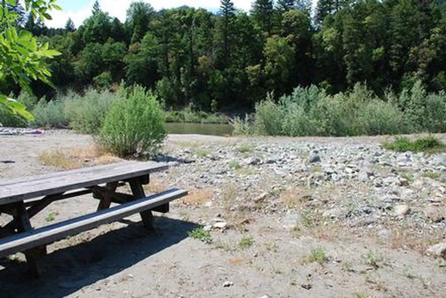
Coon Creek: This access is at Highway 96 mile 23.8 and is a standard take-out for an overnight trip on this section. Parking for Coon Creek River Access is along the highway. A paved access road provides access to the water's edge but no room for turn around or parking. The Forest Service provides a portable toilet here in summer months.
Additional Resources
Lower Klamath Guidebook and Map: https://gorafting.com/united-states/california/lower-klamath
Rapids in this Run (20)
 Rapid
Rapid
Curly Jack River Access
 Rapid
Rapid
Chambers Flat River Access
 Rapid
II
Rapid
II
Wounded Knee Rapid
 Rapid
II
Rapid
II
Welcome Waves Rapid
 Rapid
III
Rapid
III
Rattlesnake Rapid
 Rapid
III
Rapid
III
Devil's Toenail Rapid
 Rapid
III
Rapid
III
Funnel Rapid
 Rapid
III
Rapid
III
Trench Rapid
 Rapid
Rapid
Wingate Bar Access
 Rapid
II
Rapid
II
Wingate Rapid
 Rapid
II
Rapid
II
Surfer's Alley Rapid
 Rapid
Rapid
Clear Creek Access
 Rapid
II
Rapid
II
The Exterminator Rapid
 Rapid
Rapid
Ferry Point River Access
 Rapid
II
Rapid
II
Ferry Point Rapid
 Rapid
Rapid
Independence River Access
 Rapid
II
Rapid
II
Osprey Rapid
 Rapid
II
Rapid
II
Sasquatch Squeeze Rapid
 Rapid
IV
Rapid
IV
Dragon's Tooth
 Rapid
Rapid
Ukonom Creek
Difficulty
Class III+(IV)
Length
17.9 mi
Rapids
20
Access Points
Difficulty Classes
I Easy
II Novice
III Intermediate
IV Advanced
V Expert/Extreme
VI Unrunnable
Current Conditions
5-Day Forecast
Whitewater data from
American Whitewater
American Whitewater