Gauge Conditions
Photo
Description
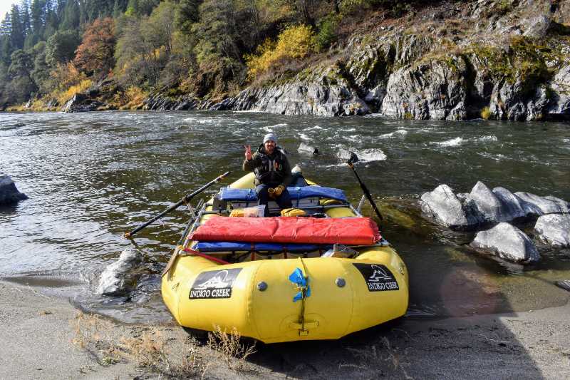
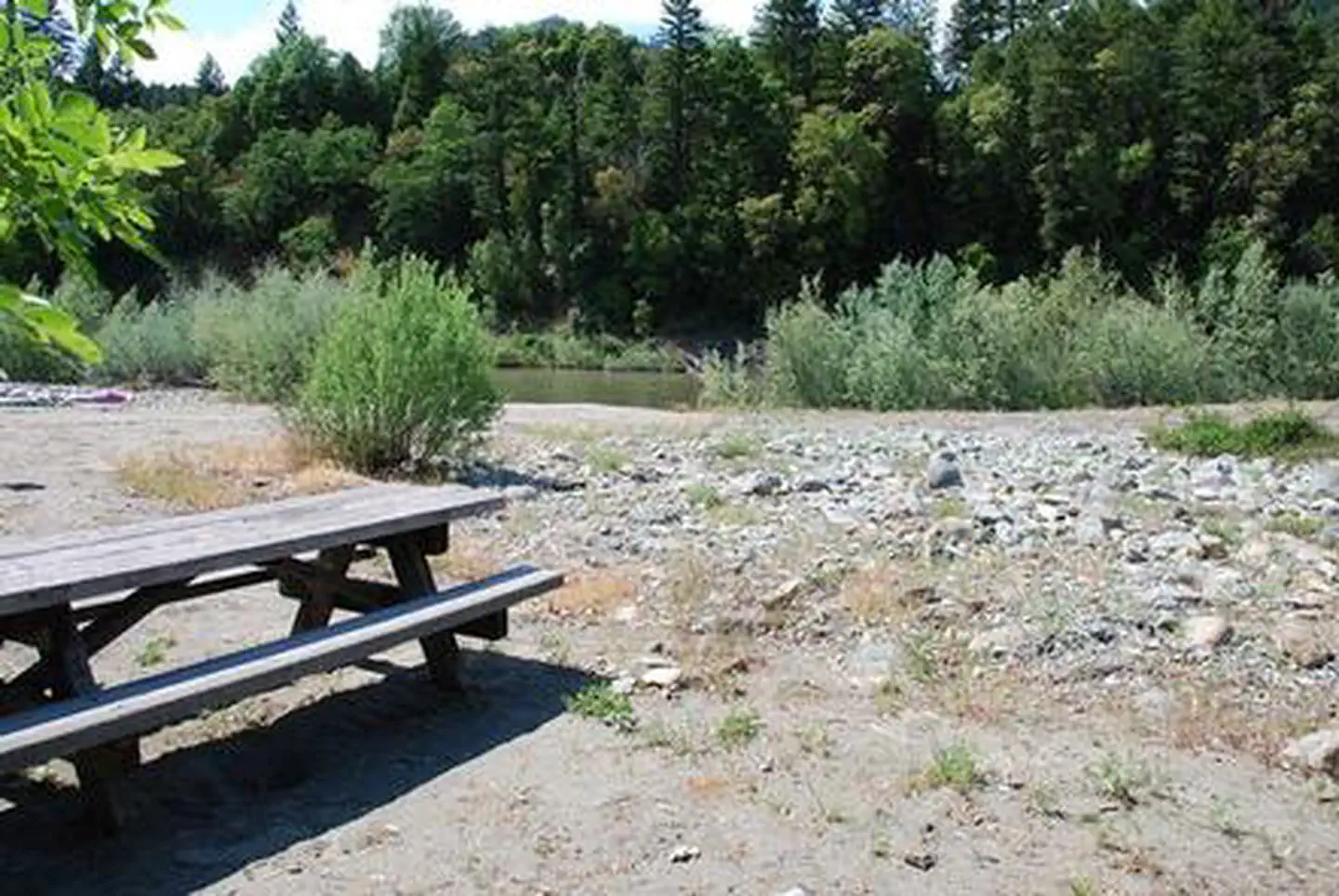
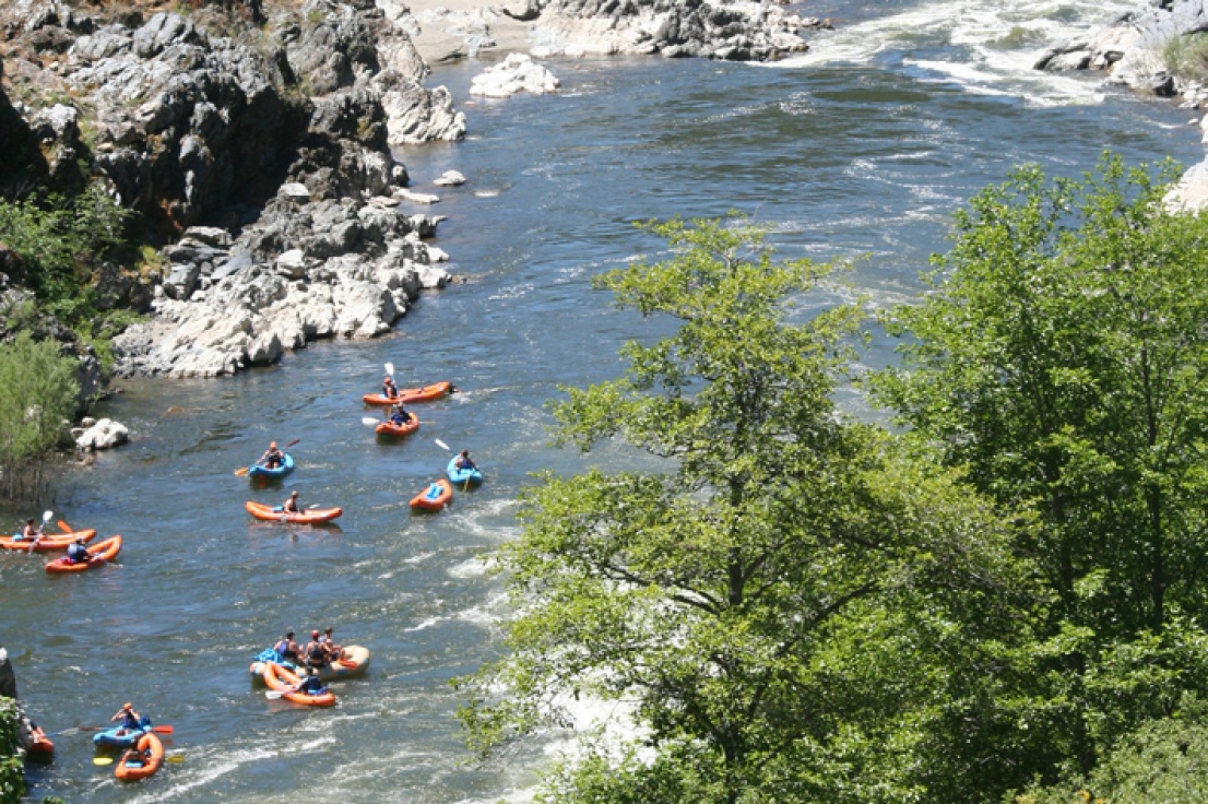
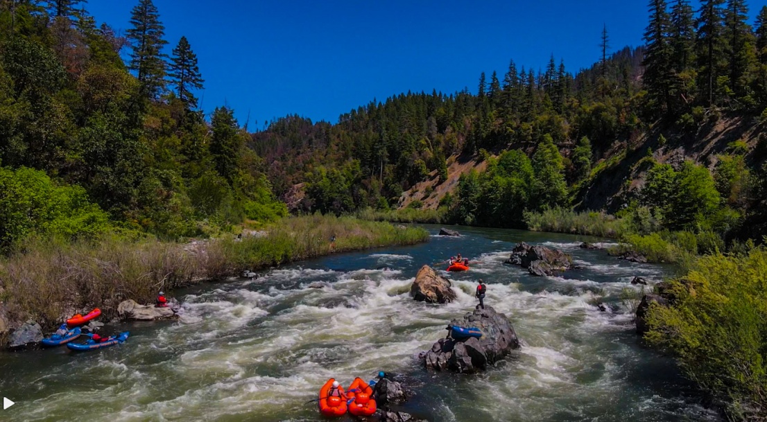
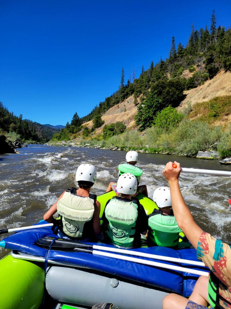
This access is located at Highway 96 mile 28.5. On the downstream river right side of the bridge, a short gravel road switchbacks down to a small parking area. From there, it’s a short carry over the gravel bar to the river. There are no amenities at this Forest Service-managed site, but a small rest area with a toilet is located upstream on the river right side of the bridge at highway level. More information at https://www.fs.usda.gov/r05/klamath/recreation/independence-rest-area-river-access.
Independence River Access and the area around its namesake creek are temporarily closed each year during Karuk ceremonies. During these times, boaters should also not float past Wingate Bar even if launching upriver at a different access site. Dates vary annually but are usually in July or August. See the guidelines in this run's river description above and check the alerts section of the Klamath National Forest website for current closure information: https://www.fs.usda.gov/r05/klamath/alerts.
Location
Other Rapids on This Run (20)
 Rapid
N/A
Rapid
N/A
 Rapid
N/A
Rapid
N/A
 Rapid
N/A
Rapid
N/A
 Rapid
II
Rapid
II
 Rapid
II
Rapid
II
 Rapid
III
Rapid
III
 Rapid
III
Rapid
III
 Rapid
III
Rapid
III
 Rapid
III
Rapid
III
 Rapid
N/A
Rapid
N/A
 Rapid
II
Rapid
II
 Rapid
II
Rapid
II
 Rapid
N/A
Rapid
N/A
 Rapid
II
Rapid
II
 Rapid
N/A
Rapid
N/A
 Rapid
II
Rapid
II
 Rapid
II
Rapid
II
 Rapid
II
Rapid
II
 Rapid
IV
Rapid
IV
 Rapid
N/A
Rapid
N/A
Current Conditions
5-Day Forecast
American Whitewater