2. West Fork to Bridge Camp (Middle)
Linked via: Proximity 98% confidence Synced 6mo ago
Gauge Conditions
Runnable: 1,000.0 – 4,000.0 CFS
Data from American Whitewater & USGS
Run Map
Run Time Estimate
Select put-in and take-out to estimate time.
Unlock Advanced Trip Planning
See wind-adjusted speed maps, forecast planning, and detailed time estimates.
Sign in to generate an AI timing estimate for this run.
Whitewater timing varies with scouting, portages, and group pace. Use as a planning baseline.
Description
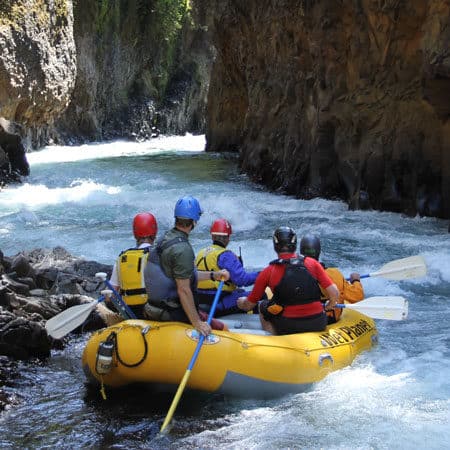
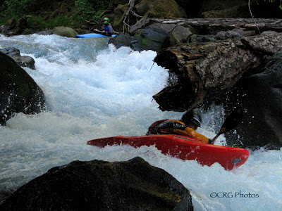
The run is mostly class 2+ with some 3. The character is relatively consistent gradient with gravel bar rapids interspersed with small boulders.
The primary hazard on this run is wood. You need to be prepared to portage, as channel-spanning log jams are not uncommon.
NOTE: According to user comment 6/2019 there are several river-wide logs requiring portages. See user comments for details.
Logistics
The put-in for this section is the FR 74 Bridge which can be reached by Highway 410, turning off onto FR 74 at mile 46.4. Although this run starts on public land, it enters the private White River Tree Farm making access a bit of a challenge. The traditional take-out for this section, upstream of the slackwater of Mud Mountain Reservoir, was at the bridge reached by a private logging road that turns off Highway 410 at mile 35.3. In recent years this road has been closed to public vehicle access. Unless you want to hike up with your boat, the most practical access is near a bridge that can be accessed relatively easily from Highway 410 mile 38.3. For an even shorter run, there is also convenient road-side access at Highway 410 mile 41.5.
Difficulty
Class III
Length
12.2 mi
Gradient
44 ft/mi
Rapids
4
Access Points
Difficulty Classes
I Easy
II Novice
III Intermediate
IV Advanced
V Expert/Extreme
VI Unrunnable
Current Conditions
5-Day Forecast
Whitewater data from
American Whitewater
American Whitewater