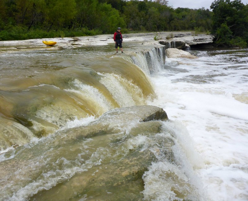
2. Wm Cannon Dr to Richard Moya Park (6.35 miles)
Linked via: Proximity 97% confidence Synced 6mo ago
Gauge Conditions
Runnable: 200.0 – 3,000.0 CFS
Upper limit of recommended boatable flows uncertain. Please contribute a comment or report.
Data from American Whitewater & USGS
Run Map
Run Time Estimate
Select put-in and take-out to estimate time.
Unlock Advanced Trip Planning
See wind-adjusted speed maps, forecast planning, and detailed time estimates.
Sign in to generate an AI timing estimate for this run.
Whitewater timing varies with scouting, portages, and group pace. Use as a planning baseline.
Description
Level
Description
500-1000cfs
more info coming soon.
1000-1500cfs
more info coming soon.
1500-2000cfs
more info coming soon.
2000-3000cfs and above
more info coming soon.
Put-in at approximately 500' elevation.
Take-out at approximately 440' elevation. There is a large parking lot next to the stream at the upstream end of Richard Moya Park.
For more information, see Texas Whitewater 2nd edition.
Rapids in this Run (2)
Difficulty
Class II-III(IV)
Length
6.5 mi
Gradient
10 ft/mi
Rapids
2
Access Points
Difficulty Classes
I Easy
II Novice
III Intermediate
IV Advanced
V Expert/Extreme
VI Unrunnable
Current Conditions
5-Day Forecast
Whitewater data from
American Whitewater
American Whitewater