Gauge Conditions
Runnable: 200.0 – 3,000.0 CFS
Upper limit of recommended boatable flows uncertain. Please contribute a comment or report.
Data from American Whitewater & USGS
Photo
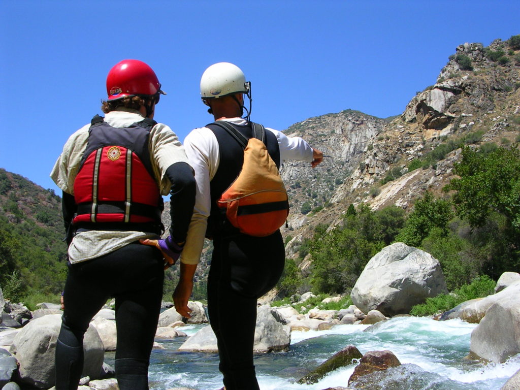
Photo courtesy of American Whitewater
Description
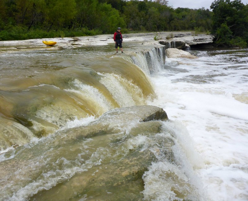
Upper Falls on Onion Creek presents a challenging descent with potential hazards due to unpredictable water levels and rocky terrain. Paddlers should anticipate tight technical lines between rock formations and be prepared for sudden drops and potential strainers. Local knowledge and careful scouting are critical, as the rapid's characteristics can change dramatically with water volume.
Location
Other Rapids on This Run (3)
View Full Run
2. Wm Cannon Dr to Richard Moya Park (6.35 miles)
Onion Creek
II-III(IV)
6.5 mi
Current Conditions
5-Day Forecast
Whitewater data from
American Whitewater
American Whitewater