4. Belington to Buckhannon River
Linked via: Proximity 94% confidence Synced 6mo ago
Gauge Conditions
Data from American Whitewater & USGS
Run Map
Run Time Estimate
Select put-in and take-out to estimate time.
Unlock Advanced Trip Planning
See wind-adjusted speed maps, forecast planning, and detailed time estimates.
Sign in to generate an AI timing estimate for this run.
Whitewater timing varies with scouting, portages, and group pace. Use as a planning baseline.
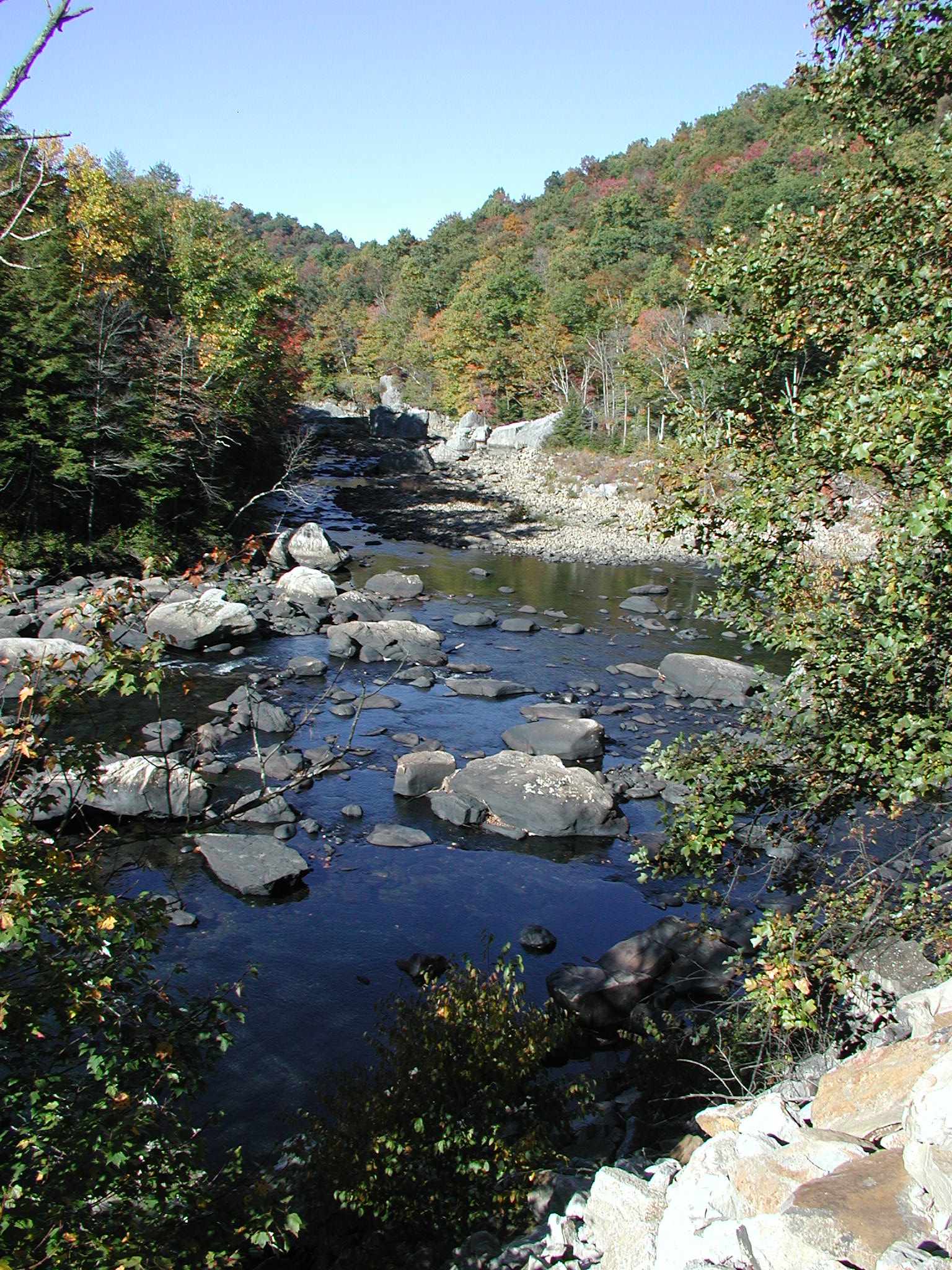
Description
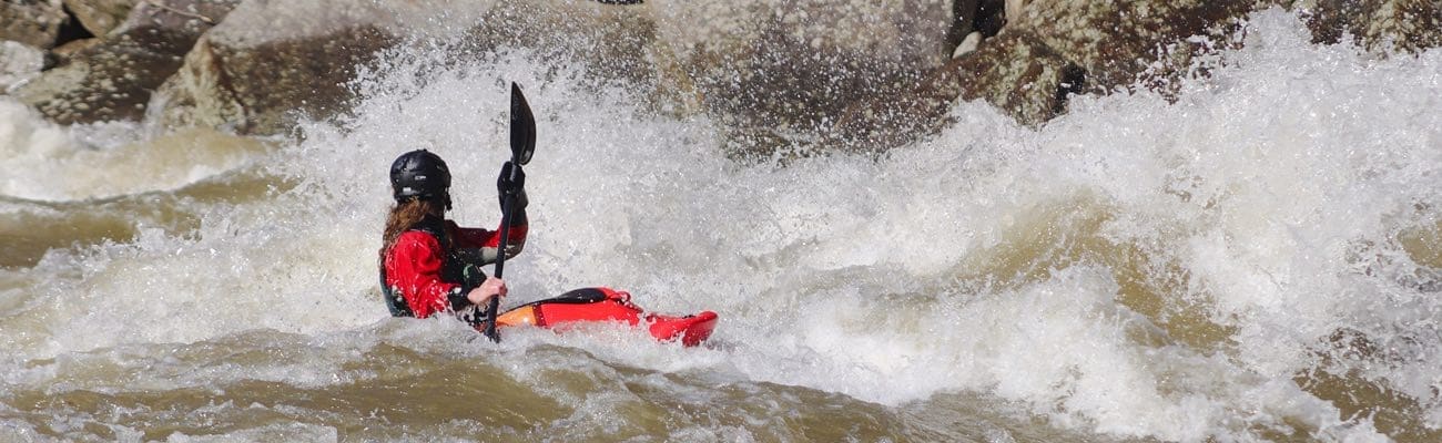
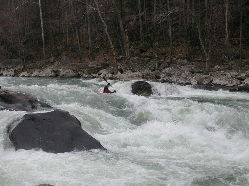
_Photo: John Fralick squeezes between the rocks at KeyHole._
Map of Area
Put-in on river right downstream of Belington or in Belington on river left.
Alternate put-in 3.2 mi downstream at fish camp on river right.
Two take-outs available:
River right 1 mi downstream of confluence with Buckhannon River or
At the mouth of the Buchannon River, walk 3/4 mi up RR tracks to covered bridge over the Buckhannon.
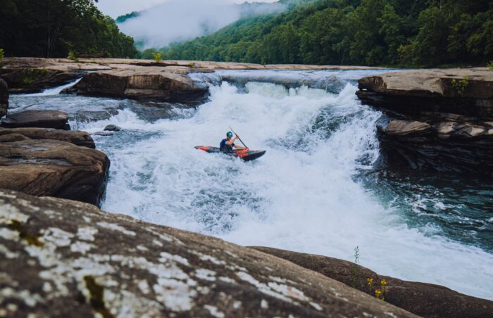
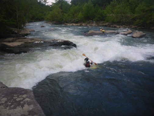
Noteable rapids in first half of the run are Key Hole and Hartung Falls, about half way down you encounter the confluence with the Middle Fork River. Those that run the Middle Fork run the lower part of the Tygart Gorge which contain three major rapids. S-Turn, Shoulder Snapper and Hook(left hook).
An outfitter is now running shuttles on weekends. He will pick you up below Hook on the Tygart and bring your group back to Audra. He charges by the shuttle not by individual. Contact - Tygart River Outfitters
Keel Hauler Rating - 28
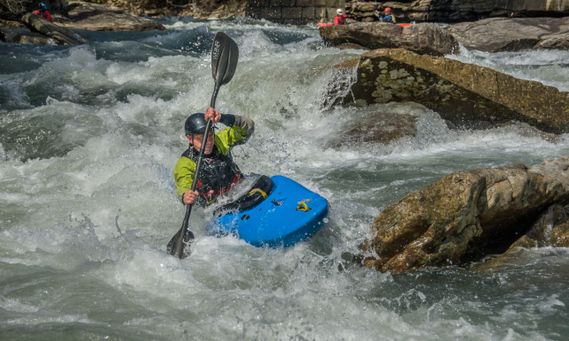
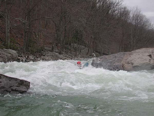
_Photo: Colins Drozdowski at Instant Ender._
Difficulty
Class III-V
Length
12.4 mi
Gradient
37 ft/mi
max 80
Rapids
7
Access Points
Difficulty Classes
I Easy
II Novice
III Intermediate
IV Advanced
V Expert/Extreme
VI Unrunnable
Current Conditions
5-Day Forecast
Whitewater data from
American Whitewater
American Whitewater