Gauge Conditions
Data from American Whitewater & USGS
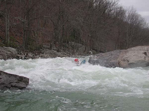
Photo

Photo courtesy of American Whitewater
Description
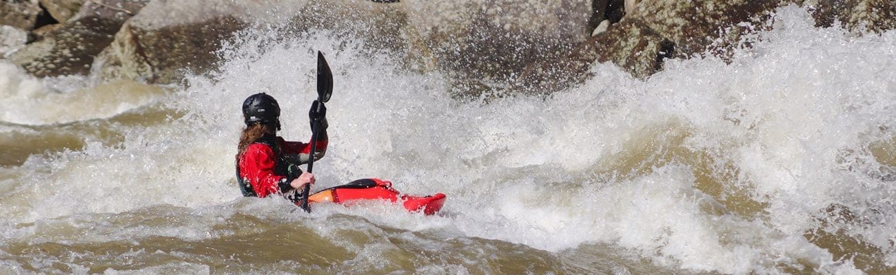
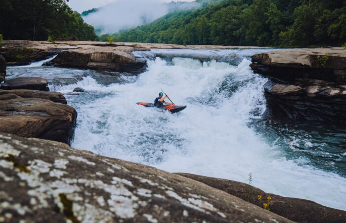
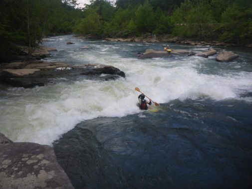
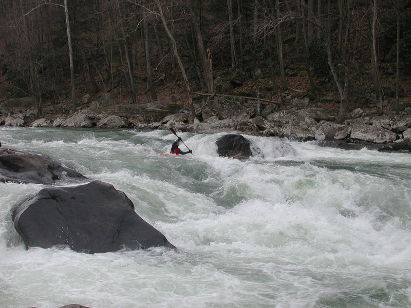
The Middle Fork Confluence rapid features a technical entry with multiple large boulders creating unpredictable hydraulics and requiring precise boat positioning. Paddlers must navigate a series of offset drops and ledges that create powerful recirculating holes on river left, with the safest line running a tight channel between mid-river rocks and the right bank.
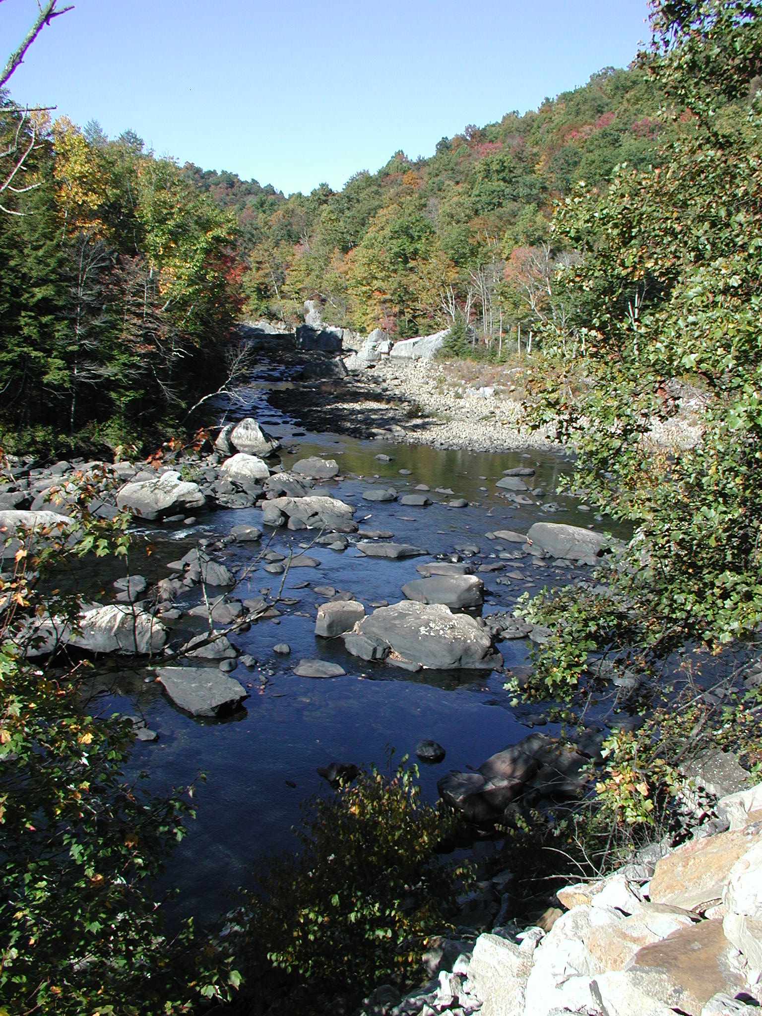
Location

View Full Run
4. Belington to Buckhannon River
Tygart Valley
III-V
12.4 mi
Current Conditions
5-Day Forecast
Whitewater data from
American Whitewater
American Whitewater