4. Ponderosa Way to Electra Picnic area
Linked via: Proximity 80% confidence Synced 6mo ago
Gauge Conditions
Runnable: ? – ? CFS
Approximate reading: This gauge is 5.0 miles away on Mokelumne. Use as a general reference only.
Data from American Whitewater & USGS
CDEC Flow Data California
Data from California Data Exchange Center (CDEC)
Run Map
Run Time Estimate
Select put-in and take-out to estimate time.
Unlock Advanced Trip Planning
See wind-adjusted speed maps, forecast planning, and detailed time estimates.
Sign in to generate an AI timing estimate for this run.
Whitewater timing varies with scouting, portages, and group pace. Use as a planning baseline.
Description
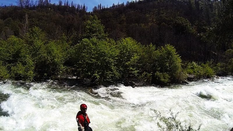
When this section has water, it makes a great addition to the Electra Run downstream, though with several class 3 rapids. The biggest rapid is the very first one. Because of the lack of regular high flows, trees and brush grow thick along the bank and sometimes out into the river bed. At 1,500 cfs the river flows through trees on the side in many locations.
PG&E diverts most of the flow around this section so it will seldom have boatable flows. Spring in wet years is the best time to check this section out. There is also one weekend day per year of scheduled release for whitewater recreation in June of non spill years.
Other Information Sources:
Charles Martin describes this run in his 1974 guidebook, Sierra Whitewater. He says the run is a good class 3.
Relicensing info
Foothill Conservancy
FERC information:
The entire upper Mokelumne Watershed PG&E hydroelectric system is under a single FERC license, number P-137 A new license was issued on October 11, 2001 and will expire in 30 years from that date.
Text of whitewater boating monitoring plan.
During Below Normal, Above Normal, and Wet water years, the stated fows of at least 900 cfs (700 cfs in BN years) will be released beginning two weeks prior
to Memorial Day weekend and ending June 15 and prior to the start of spill at Salt Springs Reservoir Dam.
The Ponderosa Way whitewater boating put-in will only have releases scheduled for one weekend day between 10 AM and 2 PM (see Attachment B: Condition 28). The River Rangers will conduct the surveys each day the flows are released. During Dry and Critically Dry years, flows will be released according to the Below Normal year requirernents (700 cfs) if the Ecological Resource Committee (ERC) and the FS determine that there would be no negative environmental impacts resulting from the continued flows (see Attachment C: Condition 29).
Rapids in this Run (10)
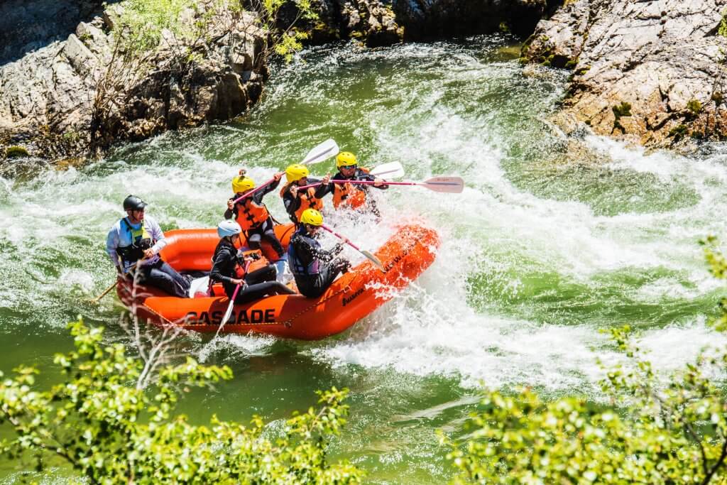

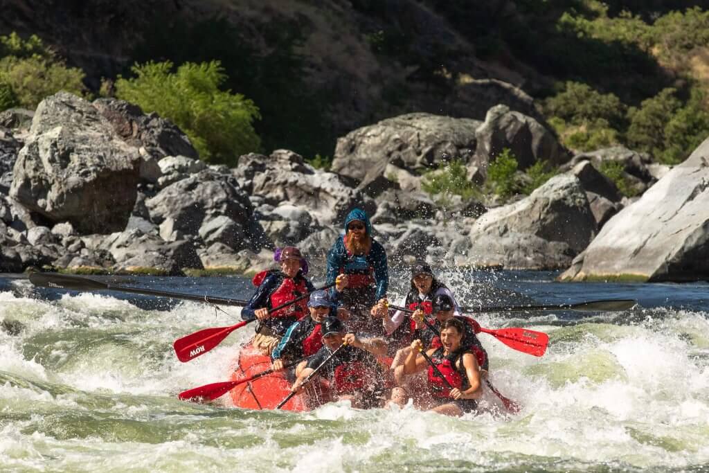

Hazards & Portages (1)
Caution: The following locations may require scouting or portaging. Always check current conditions.
Difficulty
Class II-III
Length
3.1 mi
Gradient
30 ft/mi
Rapids
10
1 Hazard
Access Points
Shuttle Info
From Electra Road and Highway 49, drive south on 49 for 3.3 miles to the town of Mokelumne Hill. Turn left and head east on Highway 26 for 5.3 miles. Turn left onto a dirt road which is probably not marked. This is Ponderosa Way and it leads to the river in 1.9 miles. There used to be a bridge across the river, but only a frame remains.
Ponderosa Way on the north side of the river is reported to be impassable and so it does not reach the river.
Difficulty Classes
I Easy
II Novice
III Intermediate
IV Advanced
V Expert/Extreme
VI Unrunnable
Current Conditions
5-Day Forecast
Whitewater data from
American Whitewater
American Whitewater