Gauge Conditions
Runnable: ? – ? CFS
Approximate - nearest available gauge. Use as general reference only.
Data from American Whitewater & USGS
CDEC Flow Data California
Data from California Data Exchange Center (CDEC)
Description
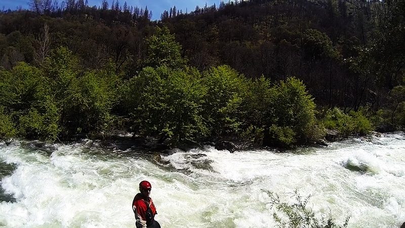
The online gauge for this reach is immediately below the diversion dam, so it only measures spills and required fish flows. Flows at Ponderosa Way could be somewhat to much higher than this reading. The middle fork confluence is below this gauge, but above Ponderosa Way.
Location


View Full Run
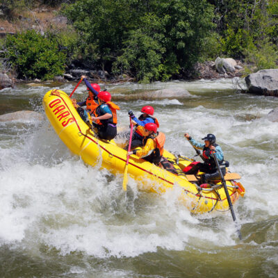
4. Ponderosa Way to Electra Picnic area
Mokelumne
II-III
3.1 mi
Current Conditions
5-Day Forecast
Whitewater data from
American Whitewater
American Whitewater