A) E.General Grade Road/362 to Cty.7 (9.2 miles)
Linked via: Proximity 94% confidence Synced 6mo ago
Gauge Conditions
Runnable: ? – ? CFS
Approximate reading: This gauge is 25.4 miles away on Manitou. Use as a general reference only.
Data from American Whitewater & USGS
Run Map
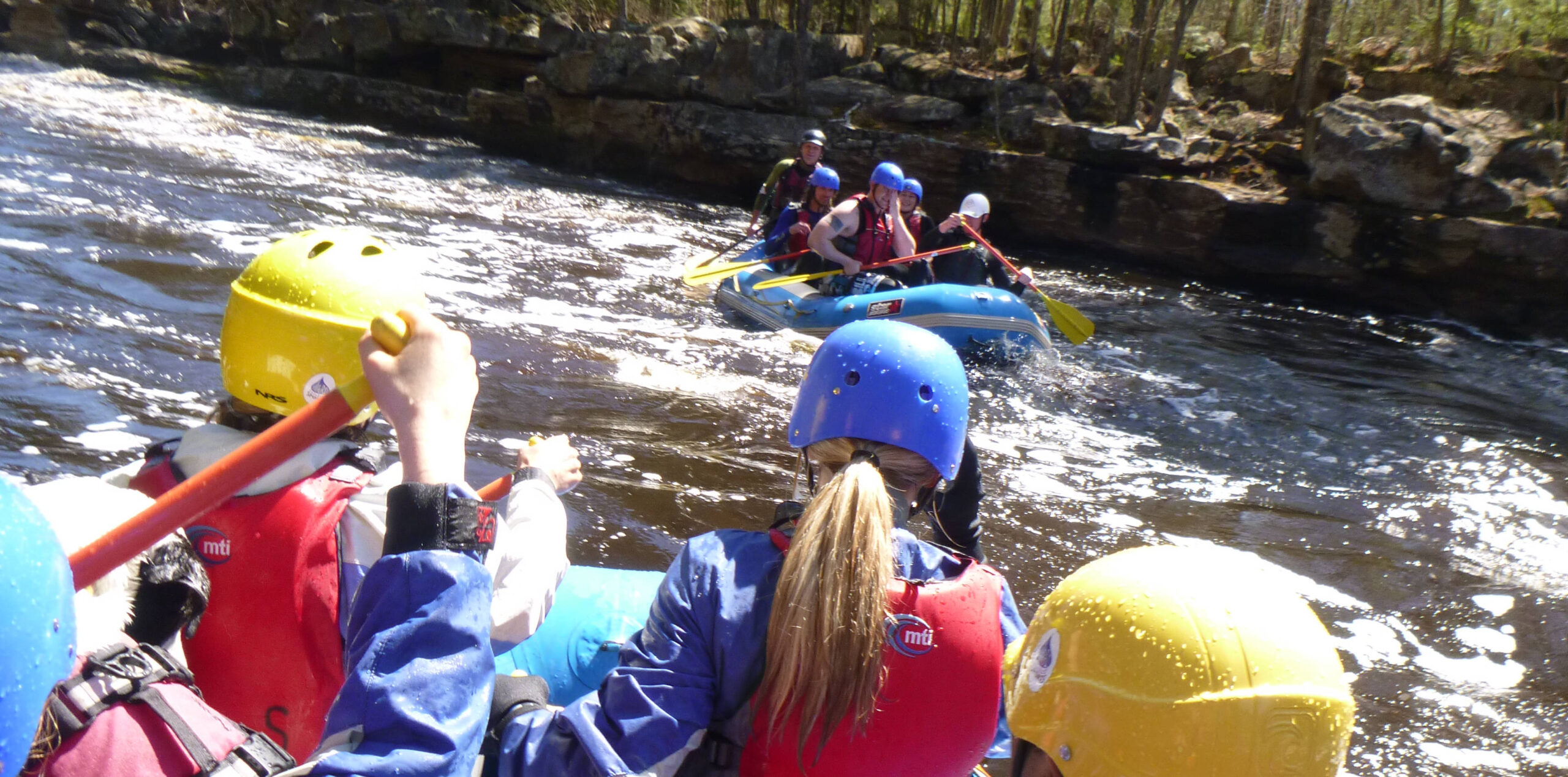
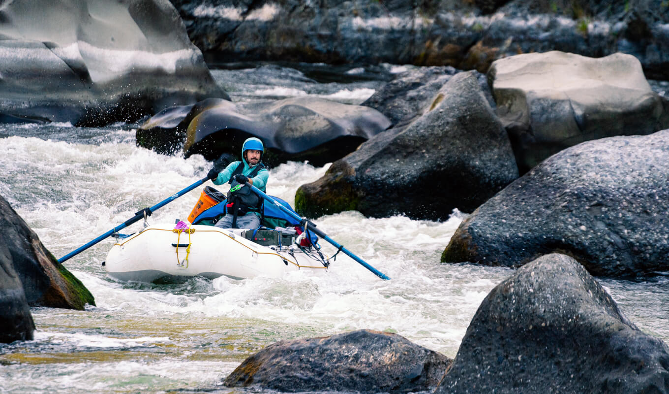
Description
From this far upper access, you may find much headache as many parts of this reach may be subject to deadfall. Indeed, looking at the online aerial views, often it is impossible to tell where the river is. (It is possible that may be due to the perspective/angle of those aerials as well, but one must anticipate at least equal likelihood of wood.) Expect a few flatwater/ponded areas, but also expect a few great worthwhile sections of gradient.
All information provided for this section is strictly conjecture, from online maps and satellite views. We have no first-hand knowledge of what you'll actually find. Have you done this section (or scouted it in some fashion)? Please add a comment below, or furnish a report (with photos/videos, if possible). Let your fellow paddlers know if this is a worthwhile addition to the whitewater options of the area, if it is a total disaster to even attempt, or something you may do once but vow "Never again!"
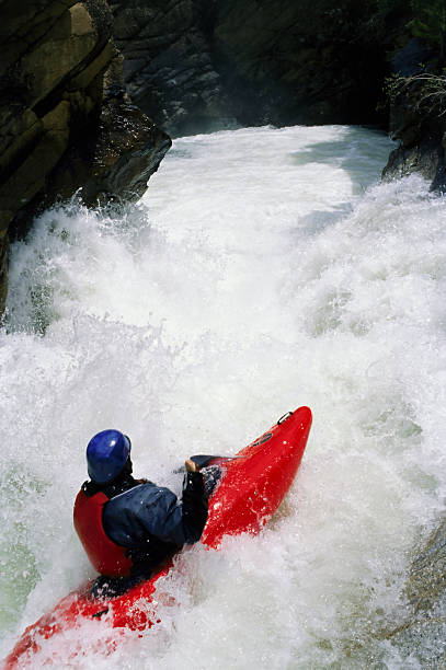
Difficulty
Class II-III(IV)
Length
9.4 mi
Gradient
50 ft/mi
max 80
Rapids
9
Access Points
Shuttle Info
This shuttle is nearly an hour (each way). We highly recommend meeting at take-out, gearing up, swapping boats and boaters to as few vehicles as possible (to leave 'drop vehicles' there), then driving to put-in to run river. This gets you on water without the delay which would result from meeting at put-in, having to run shuttle down and back up (while some boaters wait somewhere near two full hours) before putting on river!
Difficulty Classes
I Easy
II Novice
III Intermediate
IV Advanced
V Expert/Extreme
VI Unrunnable
Current Conditions
5-Day Forecast
Whitewater data from
American Whitewater
American Whitewater