Gauge Conditions
Runnable: ? – ? CFS
Approximate - nearest available gauge. Use as general reference only.
Data from American Whitewater & USGS
Photo
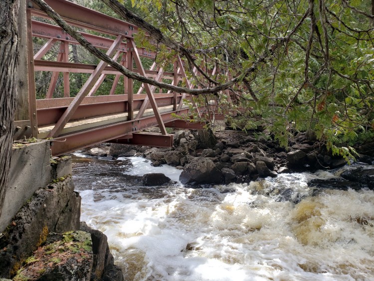
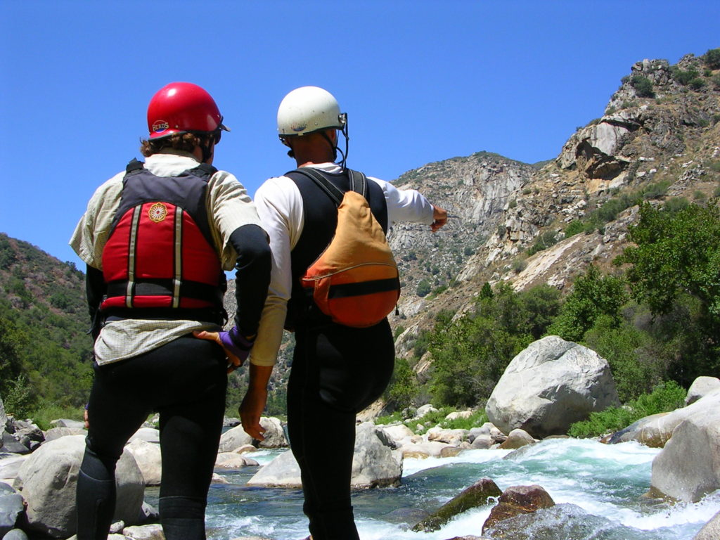
Photo courtesy of American Whitewater
Description
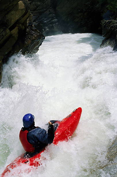
At the confluence of the South Branch and main stem of the Manitou River, paddlers encounter a complex merging of currents with potential shifting channels and submerged debris. The rapid's undefined gradient and unmarked line require careful route-finding and precise maneuvering, with potential hazards from sudden hydraulics and mid-stream obstructions. Paddlers should scout thoroughly and be prepared for quick route adjustments in this transitional river section.
Location
View Full Run
A) E.General Grade Road/362 to Cty.7 (9.2 miles)
Manitou
II-III(IV)
9.4 mi
Current Conditions
5-Day Forecast
Whitewater data from
American Whitewater
American Whitewater