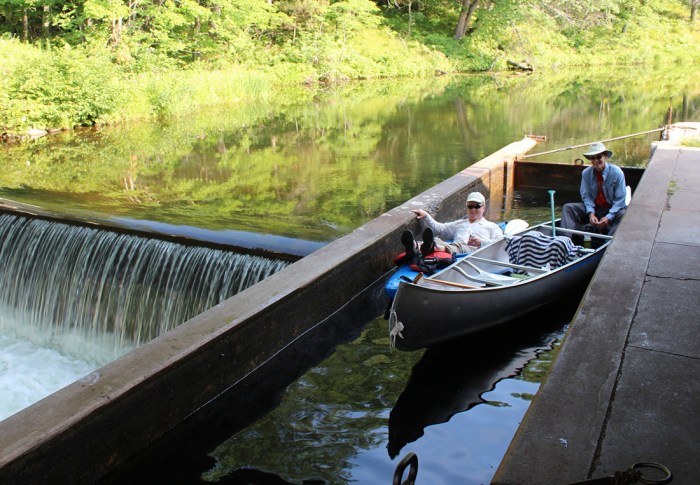
A) Spring Brook Bridge (Nolan Rd) to Hwy.52 (2.8 miles)
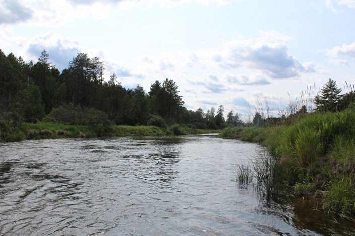
Eau Claire (Wisconsin R. trib)
Linked via: Proximity 79% confidence Synced 6mo ago
Gauge Conditions
Runnable: 1.8 – 4.0 FT
Almost certainly way too low.
Data from American Whitewater & USGS
Run Map
Run Time Estimate
Select put-in and take-out to estimate time.
Unlock Advanced Trip Planning
See wind-adjusted speed maps, forecast planning, and detailed time estimates.
Sign in to generate an AI timing estimate for this run.
Whitewater timing varies with scouting, portages, and group pace. Use as a planning baseline.
Description
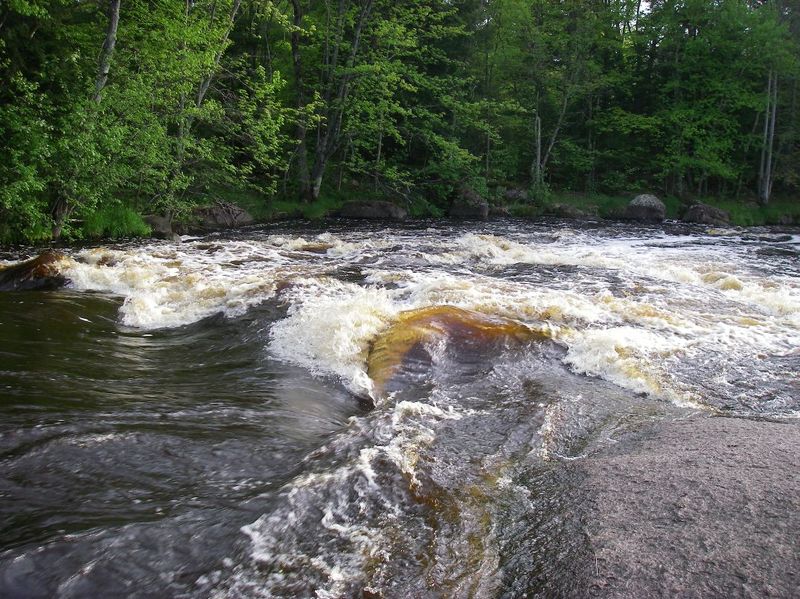
Old river guide books called the two drops on this run 'Master Ledges' and 'Bader Ledges'. (Ahh, the old sense of humor.) More modern books list them as 'Ledges' and 'Three Row Falls'.
Bryan Foster offers:
_The first ledge is signaled by a bolder garden, and has a nice hole for play. This is followed by a small island, with the right side offering more interest at higher levels._
_After some boulder gardens you come to the first drop of Three Row Falls. At medium to low levels the right side is scrapy and the left side offers some side surfing at the base. A short rapids leads to the final drop of Three Row Falls, which is a 4' ledge. The right side is a sheer drop, and can provide some stern squirt possibilities. The left side is a class II rapid._
_You can paddle this at levels down to 1.4' if you don't mind technical boulder gardens, as the main rapids and access paddle are quite runnable. (Mind you the gauge is down river a ways and after a dam)._
Thanks, Bryan!
Rapids in this Run (1)
Waterfalls (1)
Playspots (2)
Difficulty
Class II
Length
2.9 mi
Gradient
13 ft/mi
max 22
Rapids
1
Access Points
Difficulty Classes
I Easy
II Novice
III Intermediate
IV Advanced
V Expert/Extreme
VI Unrunnable
Current Conditions
5-Day Forecast
Whitewater data from
American Whitewater
American Whitewater