Rapid
WI
Drainage: ~280 sq.mi.
Eau Claire (Wisconsin R. trib) - A) Spring Brook Bridge (Nolan Rd) to Hwy.52 (2.8 miles) (WI)
Gauge Conditions
Runnable: 1.8 – 4.0 FT
Almost certainly way too low.
Data from American Whitewater & USGS
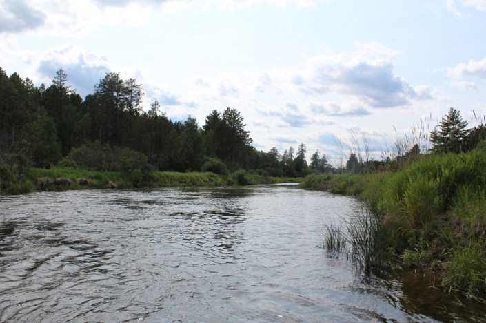
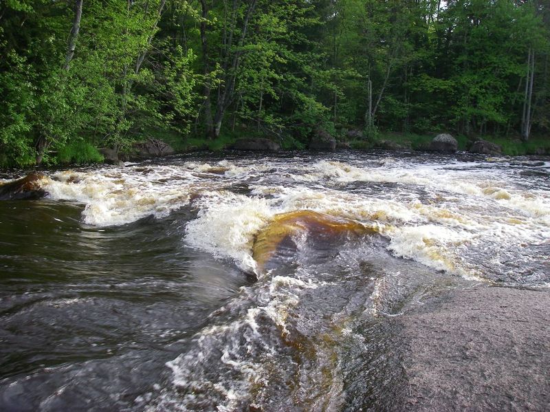
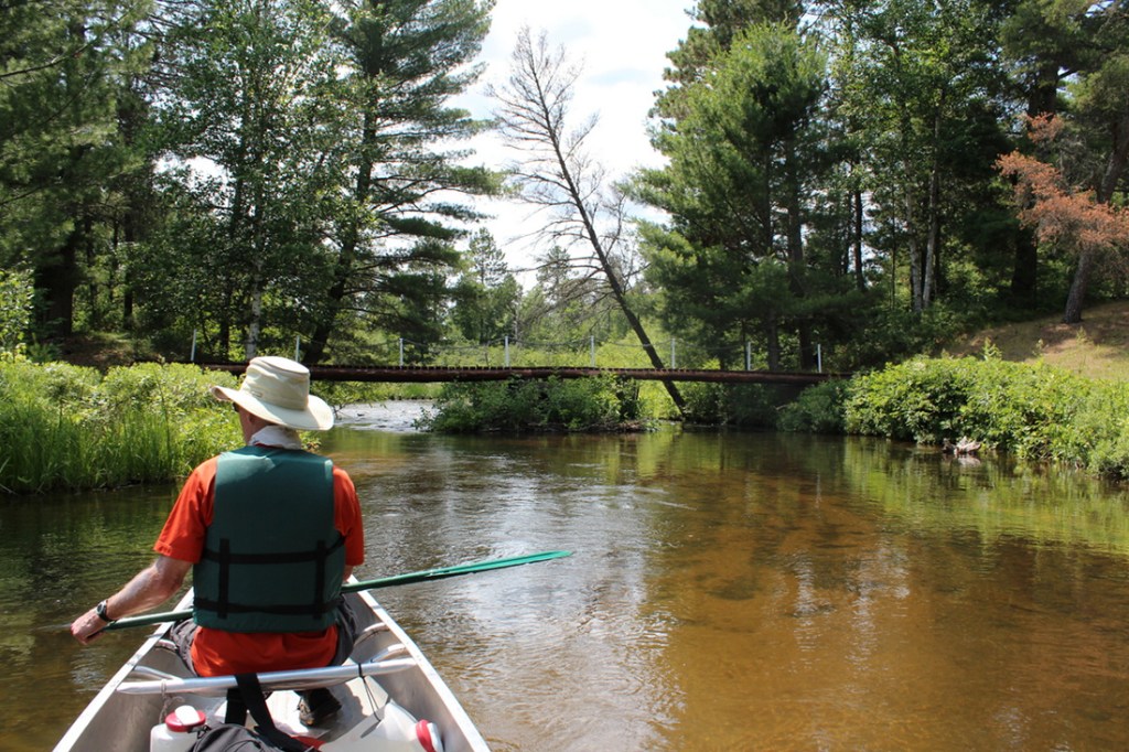
Photo
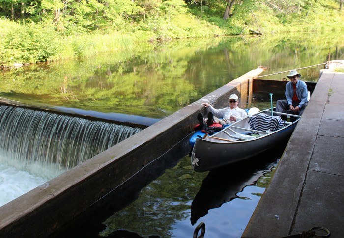
Photo courtesy of American Whitewater
Description
Our listed put-in is actually on Spring Brook, a tributary of the Eau Claire, with 66 square mile drainage.
Combined drainage area at the confluence with the Eau Claire is about 280 square miles.
By our listed take-out it is 295 sq.mi. (an increase of just over 5%).
At the gauge (a long ways downstream of these whitewater sections of river), drainage is listed as 375 sq.mi.
Thus, flow at the confluence of Spring Brook and Eau Claire might be expected to be very nearly 3/4ths that gauge reading.
Location
Other Rapids on This Run (4)

View Full Run
A) Spring Brook Bridge (Nolan Rd) to Hwy.52 (2.8 miles)
Eau Claire (Wisconsin R. trib)
II
2.9 mi
Current Conditions
5-Day Forecast
Whitewater data from
American Whitewater
American Whitewater