B) Barker Lake Road to Superior Hiking Trail (4.5-6.8 miles)
Linked via: Nhdplus discovery 90% confidence Synced 6mo ago
Gauge Conditions
Runnable: ? – ? CFS
Approximate reading: This gauge is 10.6 miles away on Poplar. Use as a general reference only.
Data from American Whitewater & USGS
Run Map
Run Time Estimate
Select put-in and take-out to estimate time.
Unlock Advanced Trip Planning
See wind-adjusted speed maps, forecast planning, and detailed time estimates.
Sign in to generate an AI timing estimate for this run.
Whitewater timing varies with scouting, portages, and group pace. Use as a planning baseline.
Description
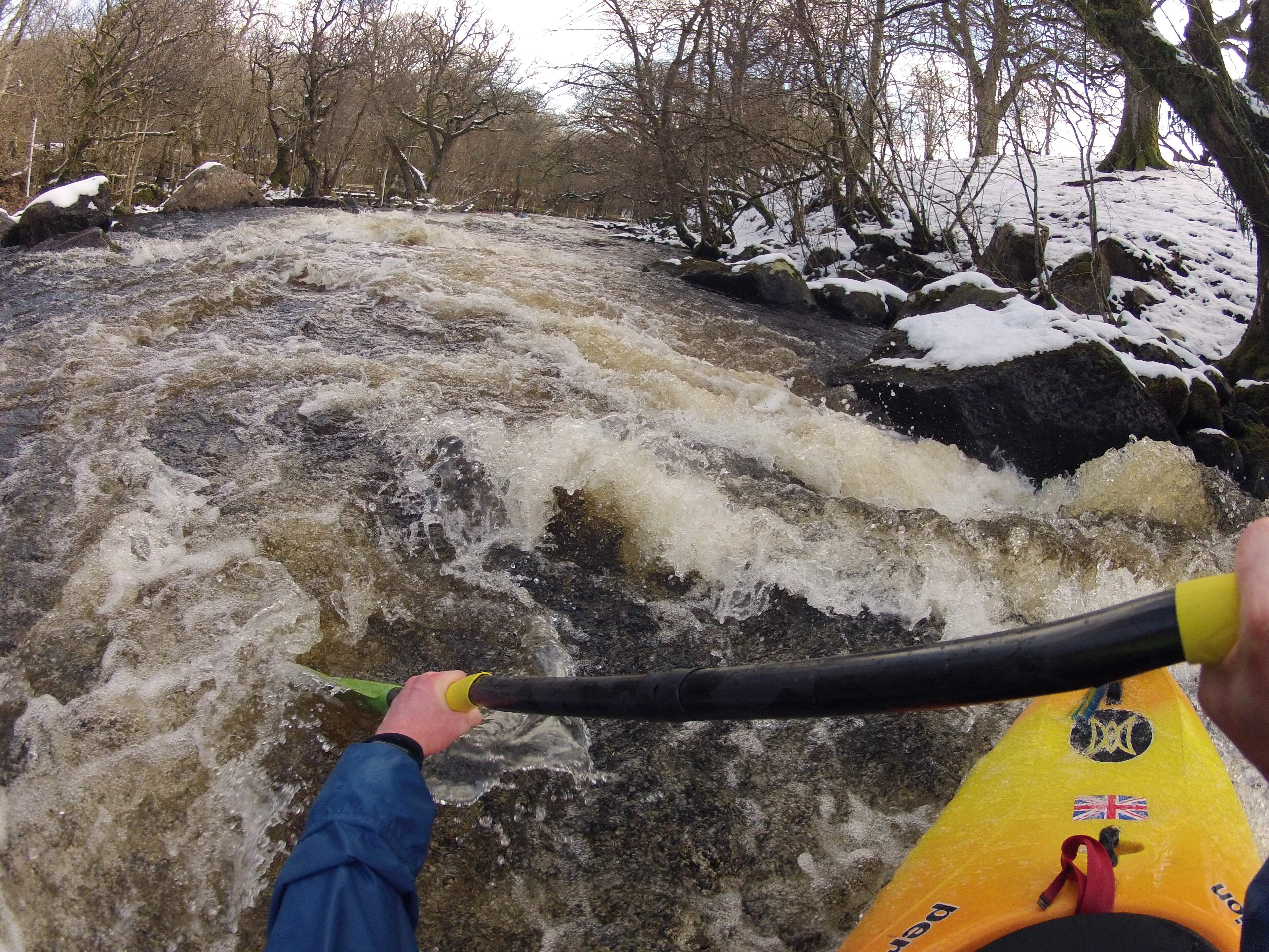
This stretch is mostly being included for 'completeness' (in the event boaters wonder what lies between the upper reach and the lower reach of this river). From Barker Lake Road, a very brief paddle ('just around the corner') should bring you to a large island (likely one channel or both blocked by trees/deadfall) ... take the path of least resistance, and hope for the best (additional blockages downstream along the island may not be apparent from the head of the island). About a half-mile (total from put-in) should bring you to a fine low-grade (likely class I-II) rapids just shy of 0.2 mile in length. At 1.2 miles (just after the Tait River enters on river-left), a very brief low-grade drop will be encountered.
Expect nothing more than flatwater (maybe swiftwater, but no real rapids) until just before the first Superior Hiking Trail (SHT) bridge, at about the 4-mile mark of this trip. Here begins the second shot of gradient which continues (on and off) for nearly a mile. About midway through this mile of low-grade (generally class I-II), you should encounter a second bridge (I think for a dirt/sand road). Downstream of the end of this stretch lies another long (nearly 2 miles) flatwater stretch.
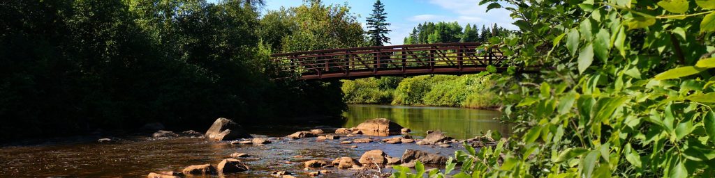
EXTREME CAUTION!!! At the end of that stretch, as you again encounter any sort of rocky rips, and as you see the third SHT bridge downstream, be prepared to get out!!! Downstream lies a tremendous, steep, rocky cascade, as the river drops somewhere near 100' in 1/8th of a mile! It would likely be deadly to miss this take-out, so do not allow yourself to get too far downstream where you may miss your 'last chance eddy'. You will likely have a good hike downstream on SHT to get back to your shuttle vehicle parked at the end of the road near Lutsen Ski Area.
Rapids in this Run (7)


Waterfalls (1)
Hazards & Portages (1)
Caution: The following locations may require scouting or portaging. Always check current conditions.
Difficulty
Class II
Length
6.4 mi
Gradient
10 ft/mi
max 42
Rapids
7
1 Hazard
Access Points
Shuttle Info
It is likely the shuttle shown here is not passable in early/mid spring. Alternative shuttle methods should need to be investigated.
Difficulty Classes
I Easy
II Novice
III Intermediate
IV Advanced
V Expert/Extreme
VI Unrunnable
Current Conditions
5-Day Forecast
Whitewater data from
American Whitewater
American Whitewater