Rapid
MN
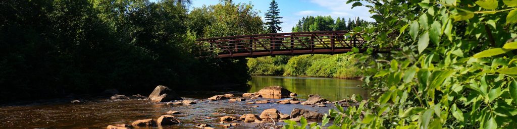
First (SHT) bridge
Poplar - B) Barker Lake Road to Superior Hiking Trail (4.5-6.8 miles) (MN)
Gauge Conditions
Runnable: ? – ? CFS
Approximate - nearest available gauge. Use as general reference only.
Data from American Whitewater & USGS
Photo

Photo courtesy of American Whitewater
Description
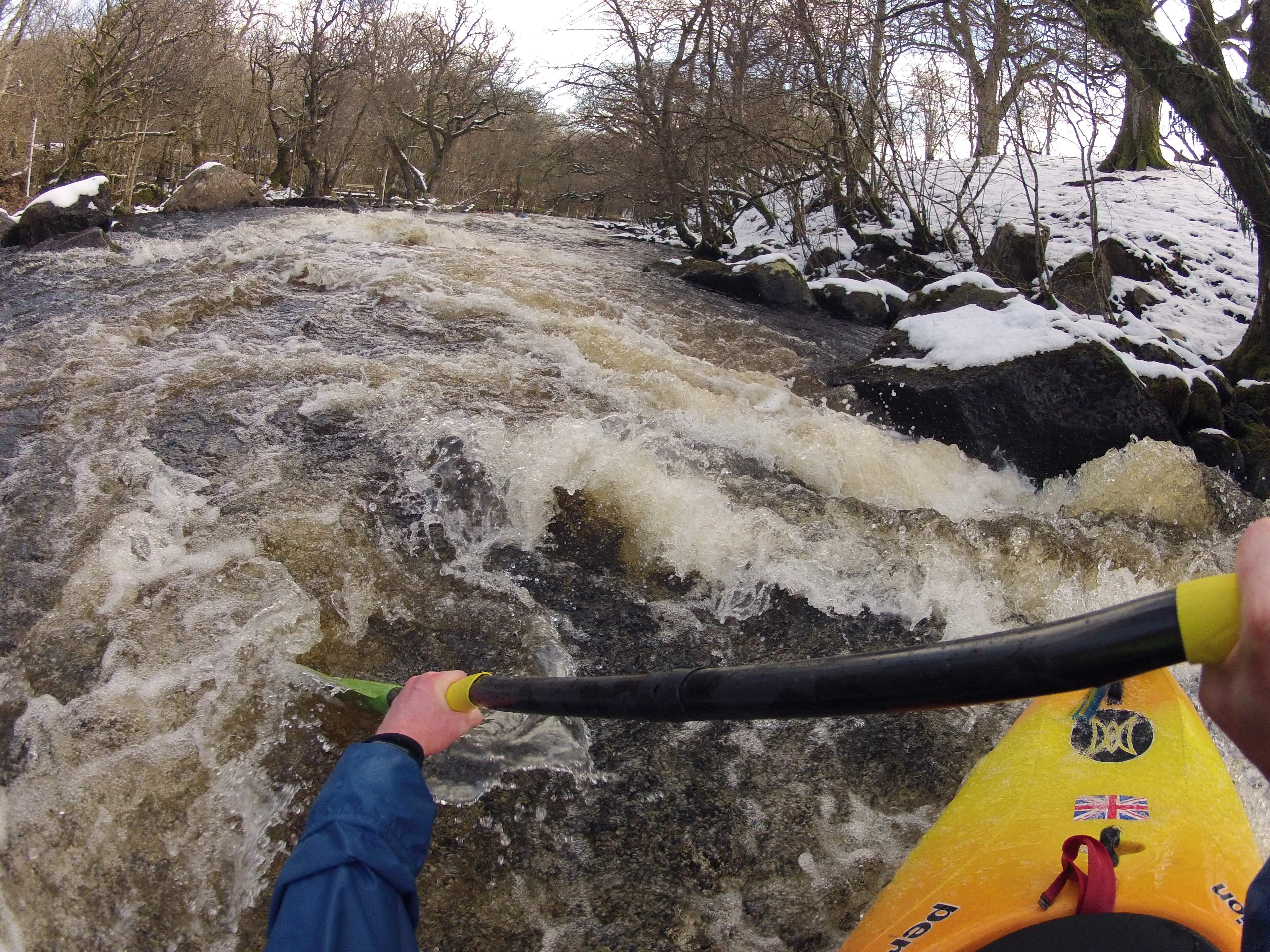
The First (SHT) bridge rapid on the Poplar River presents a complex navigation challenge with multiple potential lines through a boulder-strewn channel. Paddlers should be prepared for potential rock obstacles and limited scouting opportunities, particularly during lower water levels that can expose additional hazards.
Location


View Full Run
B) Barker Lake Road to Superior Hiking Trail (4.5-6.8 miles)
Poplar
II
6.4 mi
Current Conditions
5-Day Forecast
Whitewater data from
American Whitewater
American Whitewater