C) White Oak Junction to Big S. Fork of Cumberland R. (0.6-4 miles)
Linked via: Nhdplus discovery 90% confidence Synced 6mo ago
Gauge Conditions
Runnable: ? – ? CFS
Approximate reading: This gauge is 6.3 miles away on Rock Creek (Cumberland trib). Use as a general reference only.
Data from American Whitewater & USGS
Run Map
Run Time Estimate
Select put-in and take-out to estimate time.
Unlock Advanced Trip Planning
See wind-adjusted speed maps, forecast planning, and detailed time estimates.
Sign in to generate an AI timing estimate for this run.
Whitewater timing varies with scouting, portages, and group pace. Use as a planning baseline.
Description
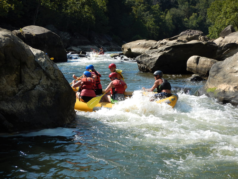
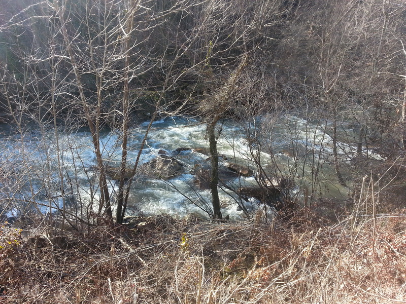
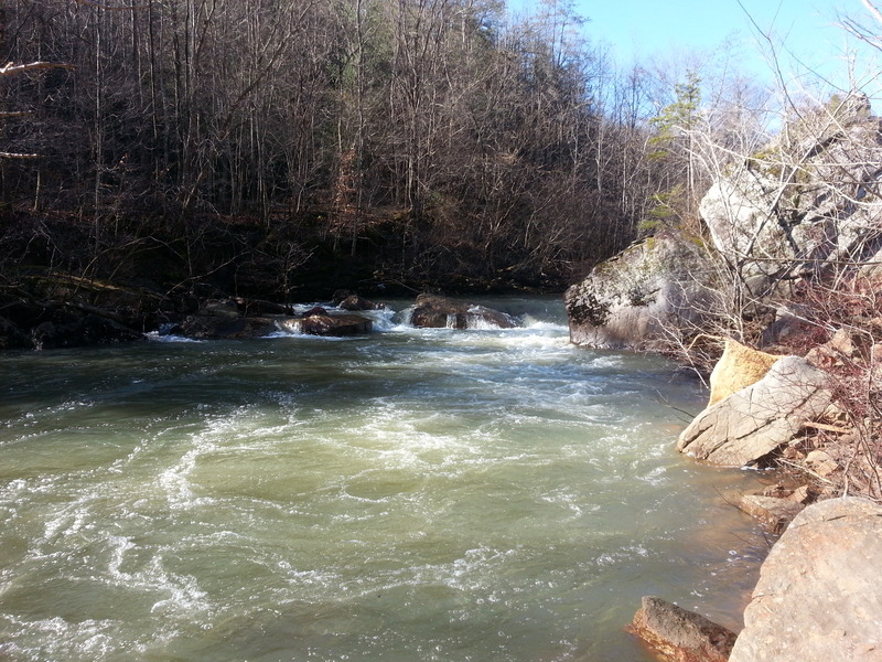
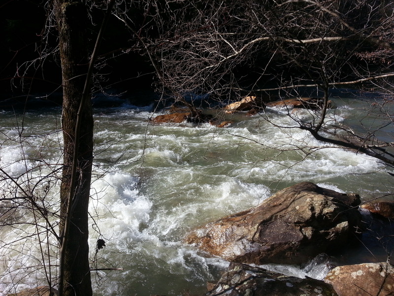
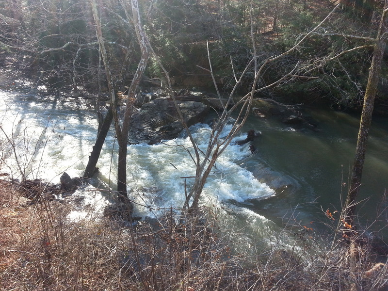
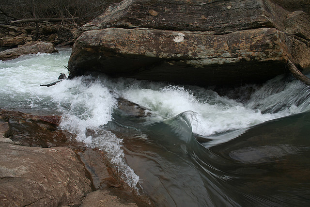
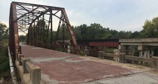
The lower section of Rock Creek features at least five rapids ranging from class III to V+, depending on water levels. These rapids are stacked up one right after the other starting 0.6 mile above Devil’s Creek Road, with the last one coming just before the bridge. For this reason, and also because of the old steel bridge bed further downstream that is a mandatory portage, I personally haven’t run anything below Devil’s Creek Road. However, it appears to be a beautiful stretch of river. The same can be said for the stretch from White Oak Junction bridge until the stacked 0.6 mile -- great scenery, but mostly flatwater.
Scouting is also more difficult because the road climbs the ridge and leaves the creek behind. Fortunately, the road returns to the creek just in time for all the good rapids, and they are easily scouted except in summer, when the foliage is too thick to get a good look at them. Portaging is a bit trickier, as the banks are very steep. It may be easier to portage some rapids on the far bank.
If anyone has more info on the 1.6 miles between Devil’s Creek Road and the Big South Fork, please post a description/photos!
Our most sincere thanks to Daniel Wheeler for this updated description.
For more information, see Canoeing & Kayaking Guide to KY.
Rapids in this Run (7)
Hazards & Portages (2)
Caution: The following locations may require scouting or portaging. Always check current conditions.
Difficulty
Class II-III(IV)
Length
4.0 mi
Rapids
7
2 Hazards
Access Points
Difficulty Classes
I Easy
II Novice
III Intermediate
IV Advanced
V Expert/Extreme
VI Unrunnable
Current Conditions
5-Day Forecast
Whitewater data from
American Whitewater
American Whitewater