Rocks and a Hard Place
Rock Creek (Cumberland trib) - C) White Oak Junction to Big S. Fork of Cumberland R. (0.6-4 miles) (KY)
Gauge Conditions
Runnable: ? – ? CFS
Approximate - nearest available gauge. Use as general reference only.
Data from American Whitewater & USGS
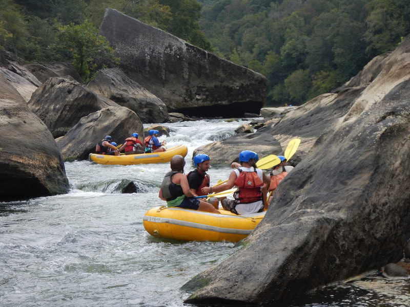
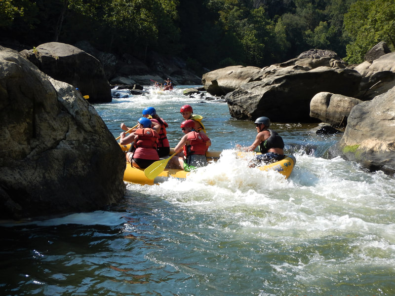
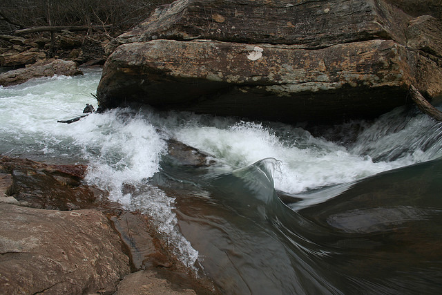
Photo
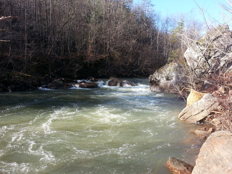
Photo courtesy of American Whitewater
Description
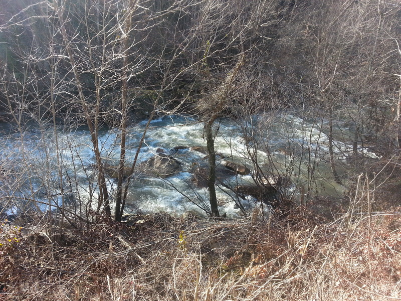
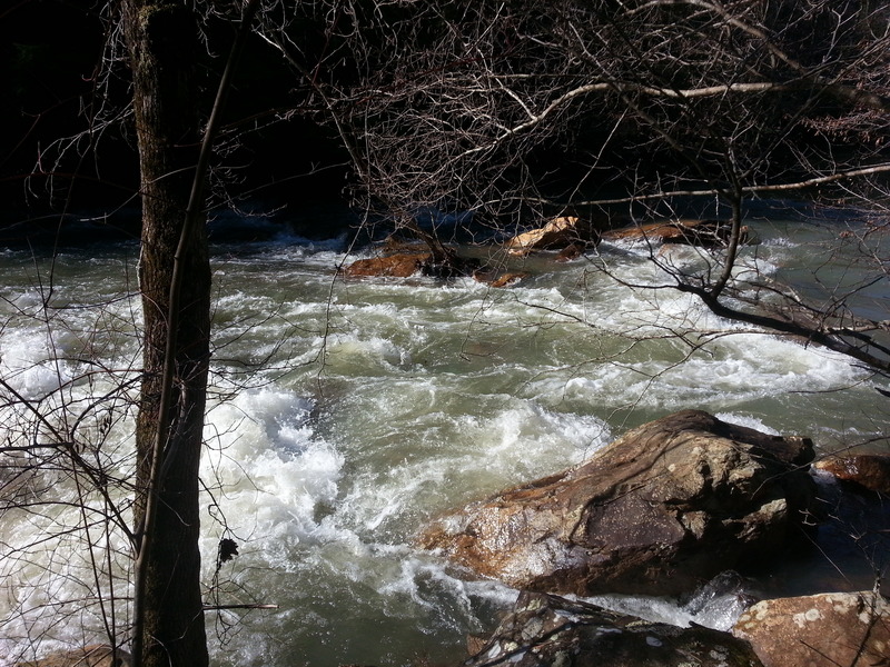
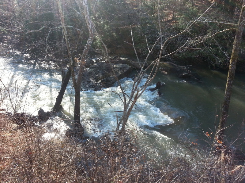
Big ledge hole on the left with some rocky lines on the right that open up with more water. The left line here is a legit class IV when the BSF gauge is maxed out, due to the very powerful hydraulic.
Location
Other Rapids on This Run (11)
View Full Run
C) White Oak Junction to Big S. Fork of Cumberland R. (0.6-4 miles)
Rock Creek (Cumberland trib)
II-III(IV)
4.0 mi
Current Conditions
5-Day Forecast
Whitewater data from
American Whitewater
American Whitewater