Confluence with Mine Bank Creek to Forest Service Road 41
Saint Mary's
Linked via: Unknown Synced 6mo ago
Gauge Conditions
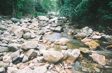
Runnable: 1,100.0 – 2,500.0 CFS
Data from American Whitewater & USGS
Run Map
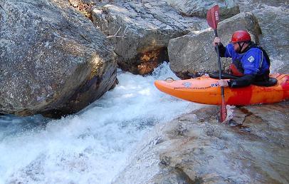
Description
History:
Saint Mary's Wilderness Area is almost the entire watershed of the Saint Mary's River which drains the western slope of the Blue Ridge Parkway north of is junction with Rt 56 in central VA. This watershed is just over the ridge and slightly north of the VA ultra-classic North Fork of the Tye River.
Brandon Hughett and I made an attempt on Saint Mary's in September of 2006, but were caught in the gorge during massive flooding and left most of the rapids unrun as we were in survival mode just to get out of the gorge.
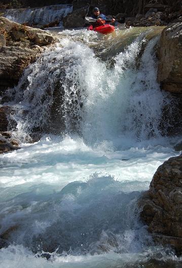
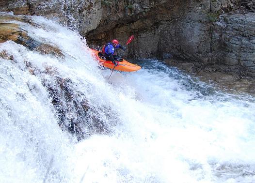
The first weekend in March 2007 the first known complete descent of Saint Mary's River was completed by Brandon Hughett, Dustin Bunch, John Howard and myself (Adam Goshorn). The level was minimal, but all drops were run, including my first and second descent of Saint Mary's Falls.
Take-Out:
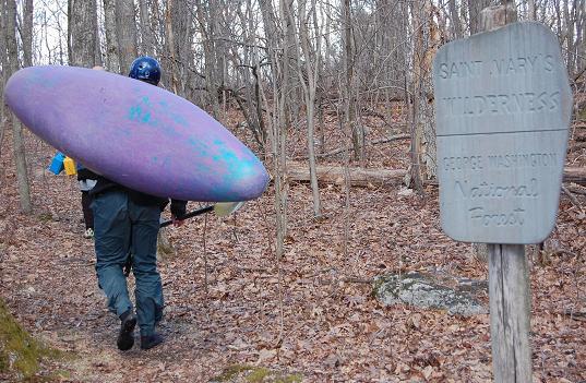
From I-81 Exit 205 Take Rt 606 to Steeles Tavern and then 56 to Vesuvius. Head north on Rt 608 for a couple of miles and turn on FS 41. Continue until it dead ends at the signpost for Saint Mary's Wilderness Area. This is the take-out and also the widest point on the river so it may appear low. If the river looks floatable here it will be good to go in the narrower upper sections.
Put-In:
From the take-out head back to Rt 56 and go up the mountain towards Montebello. When you reach the Blue Ridge Parkway check your milage and head north on the parkway. If the parkway is gated it can be accessed at Spy Run Gap by taking 685 to 686. At almost exactly 4 miles from the junction with Rt 56 there is an unmarked pull off on the left just before you reach the Fork Mountain Overlook (which will be on the right). Pull into the small parking area and you'll see the signpost and map for Saint Mary's Wilderness and Mine Bank Trail. Several old trals converge here so be sure to take the one with Saint Mary's Wilderness sign next to it, if you stand looking at the map it will be almost directly to your left. As you begin your hike you will almot immediately come to a trail junction, go left. Continue 2 miles or so following Mine Bank Creek (still unrun) until another juction in a grassy clearing. Take a right and hike 150 yards to where the trail crosses Mine Bank Creek. Follow Mine Bank Creek downstream 100 yards and you will be at the put-in at the confluence of Mine Bank and Saint Mary's.
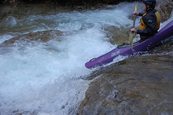
Rapids in this Run (3)
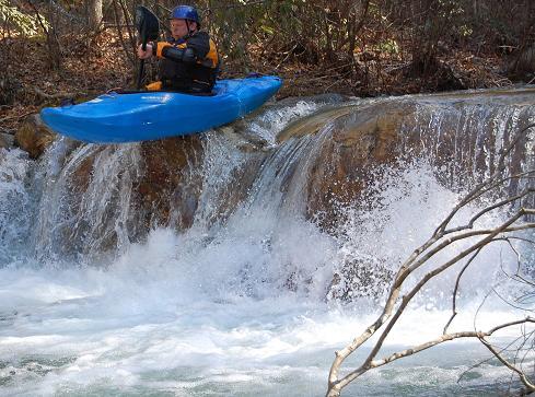
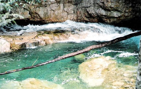
Waterfalls (5)
Hazards & Portages (1)
Caution: The following locations may require scouting or portaging. Always check current conditions.
Difficulty
Class IV(V)
Length
4.6 mi
Gradient
100 ft/mi
max 150
Rapids
3
1 Hazard
Access Points
Difficulty Classes
I Easy
II Novice
III Intermediate
IV Advanced
V Expert/Extreme
VI Unrunnable
Current Conditions
5-Day Forecast
Whitewater data from
American Whitewater
American Whitewater