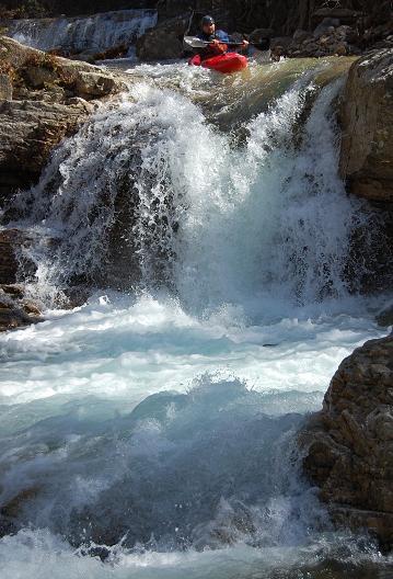
Saint Mary's Falls
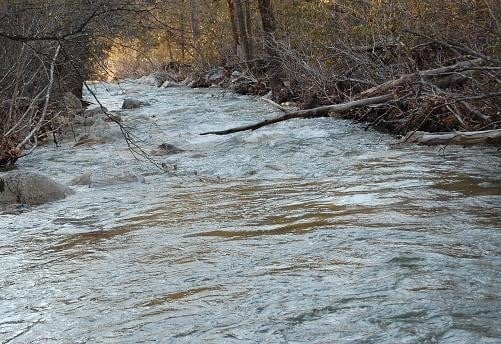
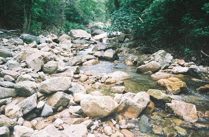
Saint Mary's - Confluence with Mine Bank Creek to Forest Service Road 41 (VA)
Gauge Conditions
Data from American Whitewater & USGS
Photo
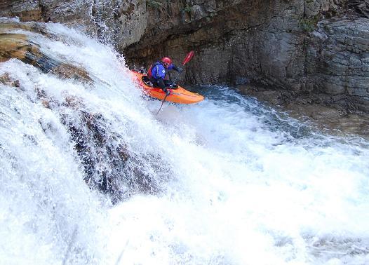
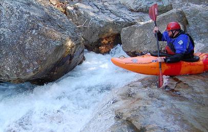
Photo courtesy of American Whitewater
Description
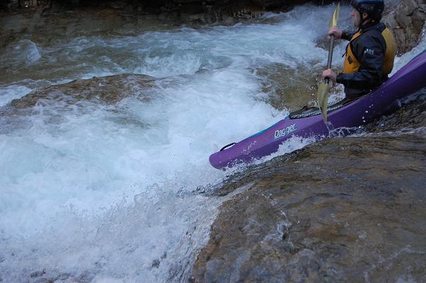
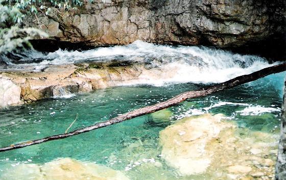
Basicly a 16 footer that lands bedrock about 12 feet down. It can be run on the left by taking and hit and a bounce into the small (5' wide) landing zone. Scout and/or portage on river right.
Location
View Full Run
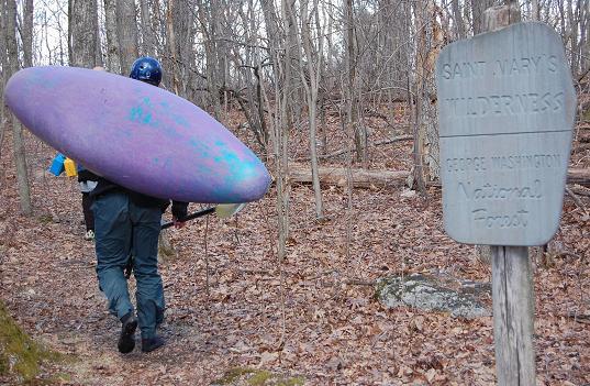
Confluence with Mine Bank Creek to Forest Service Road 41
Saint Mary's
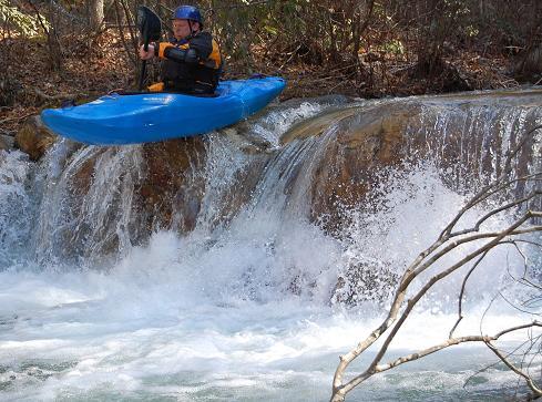
IV(V)
4.6 mi
Hazard — Exercise extreme caution. Portage recommended — scout before running.
Current Conditions
5-Day Forecast
Whitewater data from
American Whitewater
American Whitewater