Eagle Creek Road / Black River Road to Gila River
Linked via: Proximity 95% confidence Synced 6mo ago
Gauge Conditions
Runnable: 150.0 – 10,000.0 CFS
Flow range for best boatability uncertain. Please help your fellow boaters with a comment or report.
Data from American Whitewater & USGS
Run Map
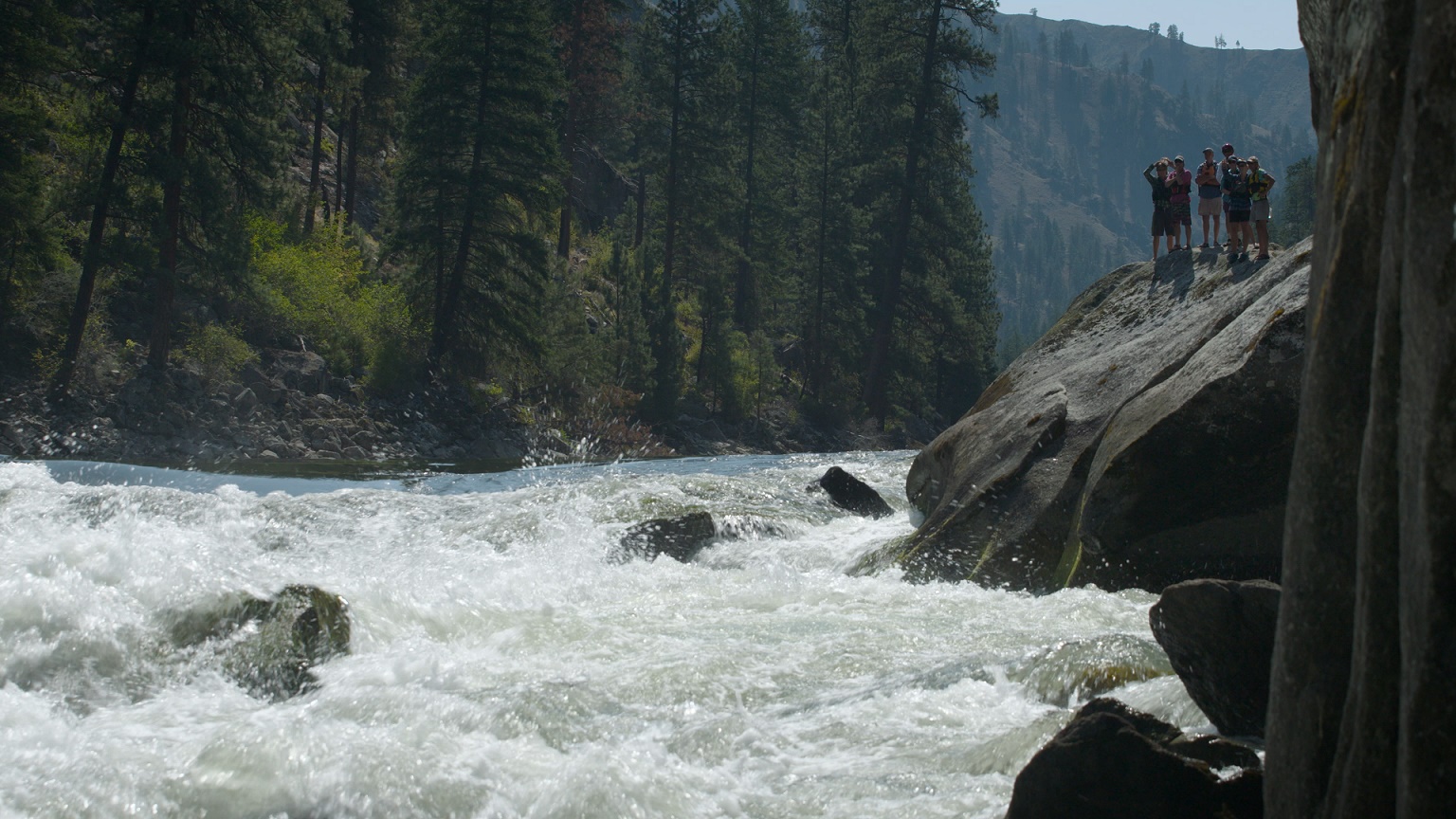
Description
We thank contributor Tina Swan for the following report (slightly edited for readability):
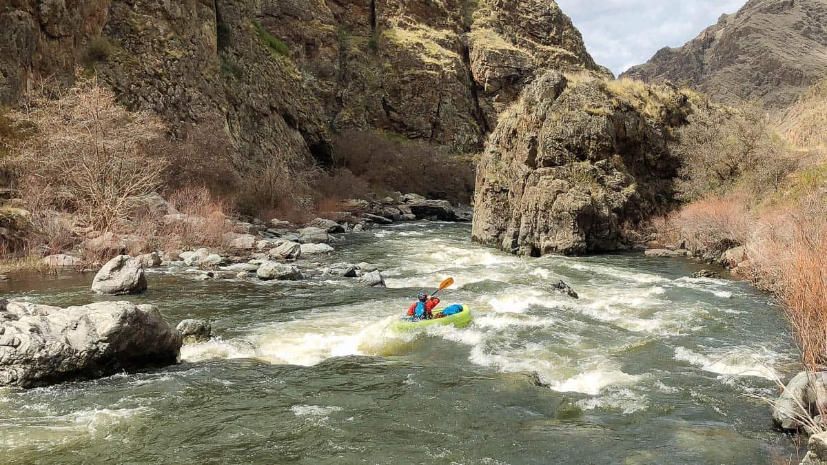
_'I ran this in early March of 2010. We used the Paddling Arizona guide from Tyler Williams. We launched from the flooded Black River Road, with the gauge holding steady about 300cfs._
_The whitewater was easy class III with wood manuevering... not very exciting. The side hikes, wildlife, and camping options were great. We explored a few side streams, two that ended in dead-end slot canyons. We checked out an old homestead, and spotted Big Horns, Blue Herons, Ring Tail Cats, and what I think was a Coati._
_The best parts of the run were in the first half. The wood dodging and channel finding through the vegetation became more complex towards the confluence with the AZ Gila Box._
_If this creek is running, the Gila Box probably has a healthy flow (it was 950 cfs on our way out)._
_Harris Outfitters provided a shuttle service. You will likely want to make this an overnight trip since this is a long run when combined with the Gila Box, and the side hikes are the real appeal of the run.'_
Rapids in this Run (2)
Difficulty
Class IV
Length
11.0 mi
Gradient
45 ft/mi
Rapids
2
Access Points
Difficulty Classes
I Easy
II Novice
III Intermediate
IV Advanced
V Expert/Extreme
VI Unrunnable
Current Conditions
5-Day Forecast
Whitewater data from
American Whitewater
American Whitewater