Rapid
AZ
Confluence with Gila River
Eagle Creek - Eagle Creek Road / Black River Road to Gila River (AZ)
Gauge Conditions
Runnable: 150.0 – 10,000.0 CFS
Flow range for best boatability uncertain. Please help your fellow boaters with a comment or report.
Data from American Whitewater & USGS
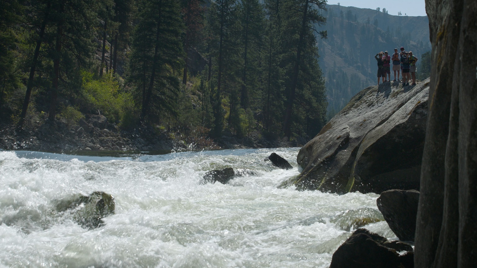
Photo

Photo courtesy of American Whitewater
Description
Eagle Creek flows into the Gila River midway through the Box section. (https://www.americanwhitewater.org/content/River/view/river-detail/117/)
Anyone doing Eagle Creek is likely to continue down the bottom half of that section (obvious at high flows, when Eagle Creek is runnable).
(For some reason, the software will not map the Eagle Creek all the way to the Gila River.)
Location
Other Rapids on This Run (1)
View Full Run
Eagle Creek Road / Black River Road to Gila River
Eagle Creek
IV
11.0 mi
Current Conditions
5-Day Forecast
Whitewater data from
American Whitewater
American Whitewater