Highway 19 to Highway 160 (19 miles) Scenic
Linked via: Proximity 99% confidence Synced 6mo ago
Gauge Conditions
Runnable: 400.0 – 4,000.0 CFS
Data from American Whitewater & USGS
Run Map
Put-in
Take-out
Rapids/Hazards
Scenic
Run Time Estimate
Select put-in and take-out to estimate time.
Unlock Advanced Trip Planning
See wind-adjusted speed maps, forecast planning, and detailed time estimates.
Sign in to generate an AI timing estimate for this run.
Whitewater timing varies with scouting, portages, and group pace. Use as a planning baseline.
Description
Barry Joyce shared:
_While the Eleven Point would barely rate as a whitewater river, it has enough shoals and fast water to make this a top summertime and float/camp destination._
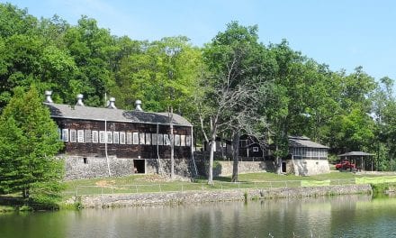
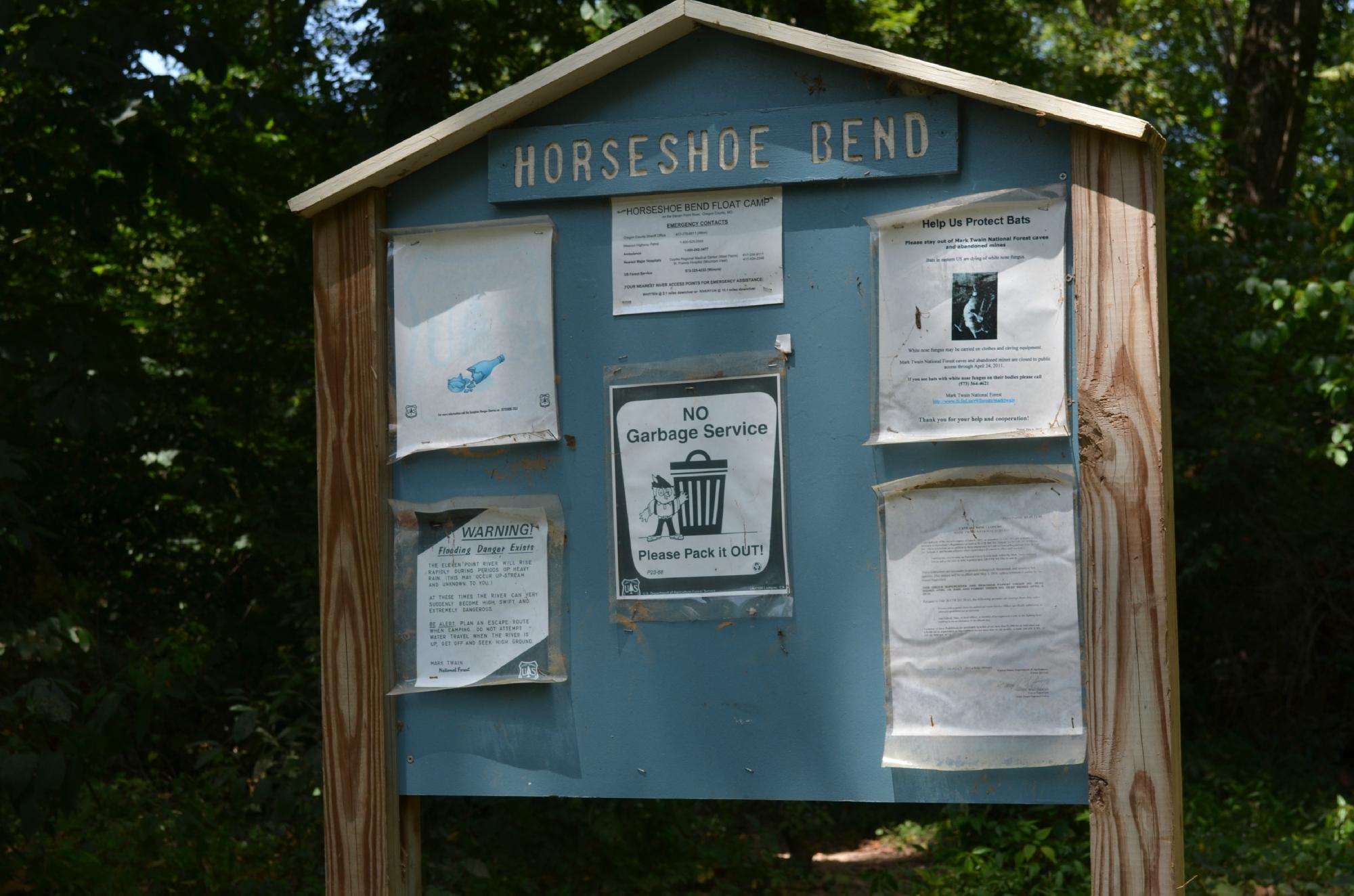
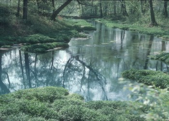
_The normal float, from Greer to Riverton, 19 miles, usually requires you to camp and that discourages many of the obnoxious party paddlers. Along the way, there are several maintained "float camps". Gravel bars are not plentiful, so the early bird gets the worm. Scenery is clean, clear and never tiring, trout fishing is good, producing big trout, and the river serves up numerous rocky shoals with nice waves and chutes. Crystal-clear water, coming mainly from Missouri's 2nd largest spring, Greer Spring, is especially cold for several miles. So this river is really nice for those 90+ degree Summer days. Find a rope swing ... I'm telling you, this is a great American float that is not that well known!_
_Couple of easy class 2's (Mary Decker Chute and Riverton Rapids), numerous other fun shoals._
_The hike to Greer is very rewarding, other springs also (Boze Mill), these are lovely springs. Floating, camping, fishing, hiking, even some caves (See Whites Creek Cave pic)._
* * *
Missouri Scenic Rivers Resource Website has detailed maps and descriptions.
_A Canoeing & Kayaking Guide to the Ozarks_ (formerly _Ozark Whitewater_) by Tom Kennon (3rd edition, Menasha Ridge Press) has a good description of the run.
_A Paddler's Guide to Missouri_ (Missouri Department of Conservation, 2003), an updated version of _Missouri Ozark Waterways_ by Oz Hawksley, has good maps.
Difficulty
Class I
Length
19.8 mi
Rapids
4
Access Points
Difficulty Classes
I Easy
II Novice
III Intermediate
IV Advanced
V Expert/Extreme
VI Unrunnable
Current Conditions
5-Day Forecast
Whitewater data from
American Whitewater
American Whitewater