Rapid
MO
Turner Mill South River Access, river right
Eleven Point - Highway 19 to Highway 160 (19 miles) (MO)
Gauge Conditions
Data from American Whitewater & USGS
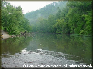
Photo
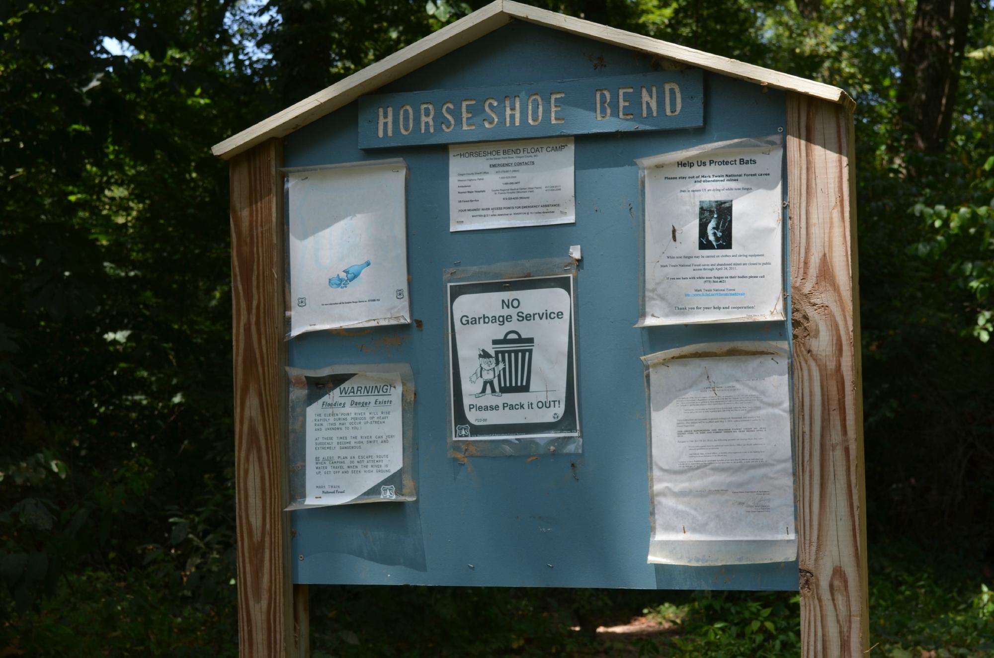
Photo courtesy of American Whitewater
Description
Turner Mill South is located on the right bank. This access is rustic in nature and offers limited dispersed campsites, limited day use area, a single-lane concrete boat launch, and toilet facilities.
Location


View Full Run
Highway 19 to Highway 160 (19 miles)
Eleven Point
I
19.8 mi
Current Conditions
5-Day Forecast
Whitewater data from
American Whitewater
American Whitewater