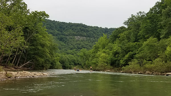
Lydalusk to Shirley (10.2 miles)
Linked via: Proximity 51% confidence Synced 6mo ago
Gauge Conditions
Runnable: 500.0 – 5,000.0 CFS
Likely too low for enjoyable whitewater. (WE NEED YOUR INPUT TO REFINE BOATABLE RANGES! Add a comment or report.)
Data from American Whitewater & USGS
Run Map
Run Time Estimate
Select put-in and take-out to estimate time.
Unlock Advanced Trip Planning
See wind-adjusted speed maps, forecast planning, and detailed time estimates.
Sign in to generate an AI timing estimate for this run.
Whitewater timing varies with scouting, portages, and group pace. Use as a planning baseline.
Description
Quick Facts:
Location: NorthCentral AR, approximately 62 miles North from Little Rock.
Shuttle Length: 9.3 miles. (See details in "Directions" Tab.)
Put-in elevation is approximately 610'.
Take-out elevation is approximately 510'.
Thus total elevation change is approximately 100'.
Information (lat, lng, elev, total drop, run length, shuttle length) adjusted and/or verified from best manual extrapolation of online data (via maps.google.com, distance measuring tool, and other resources). 2009.02.03
A road (on river-right) parallels most of the run, so shorter trips (or emergency access) may be possible. Longer trips (starting futher upstream) are also possible.
Rapids in this Run (2)

Difficulty
Class II-III
Length
10.2 mi
Gradient
10 ft/mi
Rapids
2
Access Points
Difficulty Classes
I Easy
II Novice
III Intermediate
IV Advanced
V Expert/Extreme
VI Unrunnable
Current Conditions
5-Day Forecast
Whitewater data from
American Whitewater
American Whitewater