Gauge Conditions
Runnable: 500.0 – 5,000.0 CFS
Likely too low for enjoyable whitewater. (WE NEED YOUR INPUT TO REFINE BOATABLE RANGES! Add a comment or report.)
Data from American Whitewater & USGS
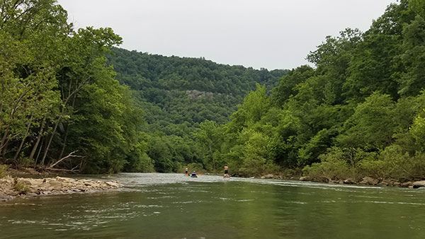
Photo

Photo courtesy of American Whitewater
Description
Marked rapids presents a technical challenge with multiple boulder-strewn channels that require precise maneuvering between midstream rocks and sharp deflection zones. The rapid features a series of tight, offset drops with potential for keeper holes on river left and a recommended line that follows a narrow, right-side chute with minimal margin for error. Paddlers should scout carefully and be prepared for quick boat control and precise eddy turns to navigate this complex whitewater sequence.
Location
Other Rapids on This Run (3)


View Full Run
Lydalusk to Shirley (10.2 miles)
Little Red, Middle Fork
II-III
10.2 mi
Current Conditions
5-Day Forecast
Whitewater data from
American Whitewater
American Whitewater