Mendota Pool to Merced River Confluence
Linked via: Proximity 79% confidence Synced 6mo ago
Gauge Conditions
Runnable: 400.0 – 8,000.0 CFS
Near end
Runnable: 200.0 – 6,000.0 CFS
Data from American Whitewater & USGS
CDEC Flow Data California
Data from California Data Exchange Center (CDEC)
Run Map
Run Time Estimate
Select put-in and take-out to estimate time.
Unlock Advanced Trip Planning
See wind-adjusted speed maps, forecast planning, and detailed time estimates.
Sign in to generate an AI timing estimate for this run.
Whitewater timing varies with scouting, portages, and group pace. Use as a planning baseline.
Description
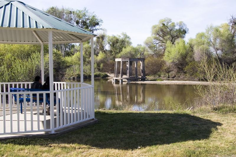
This section is flatwater and especially suited for canoes and touring kayaks. There is playboat potential at the outflow from the Mendota Pool dam, but there are usually lots of fishing lines from people up on the dam. The reach is of particular interest because of its historic and political significance.
The flow situation here is unusual. Friant dam normally diverts all of the water that would flow in this section. Most San Joaquin river water is diverted south to Tulare and Kern counties via the Friant Kern Canal, and some is diverted north through the Madera Canal.
To provide water to Mendota and Firebaugh area farms, water from the Sacramento and Feather rivers, is pumped out of the Sacramento - San Joaquin delta, into the Delta Mendota Canal. This water reenters the San Joaquin River at Mendota Pool immediately above the put-in. Water then flows down the river to various irrigation diversions, till there is no more. The river is empty and dried up by the time it crosses highway 152. It is an expensive process, but worth it to the farmers, since your federal tax money pays for much of the real costs.
A settlement agreement in 2006 between the Bureau of Reclamation and various environmental groups, lead by the Natural Resources Defense Council (NRDC), mandates that sufficient flows be returned to this river so that it does not dry up and that salmon may once again swim up the river to spawn. In accordance to the agreement, restoration test flows began in October 2009. In the spring of 2010, water once again flowed from Friant all the way to the confluence with the Merced and on to the San Joaquin/Sacramento Delta. Several long sections of river which were usually dry for the last 60 years, now have low but steady flows.
Between Mendota and Sack Dam, the river flows past farmland. North of Highway 152 the river flows through the Merced and San Luis wildlife refuges and through the Great Valley Grasslands State Park.
Put in: There is a wide, dirt boat ramp just downstream of Mendota Pool Dam. There is plenty of Parking. From Highway 180 on the north side of Mendota, take Bass Road past Mendota Pool park, to the dam.
Take Out: There appears to be informal public access on the east side of the river on Hills Ferry Road at the confluence with the Merced River. There is a nice public park on river left just downstream of the highway bridge in Firebaugh. View the map tab for locations of other possible access locations.
Sections:
Mendota Pool to Firebaugh is a pleasant 10 mile float suitable for beginners. The scenery is nice, though the riparian zone appears to be narrow along most of this distance. Still, there is lots of wildlife to see. With 1300 cfs the trip will take around 3 hours for a kayak or canoe.
Other Information Sources:
San Joaquin River Restoration Project
San Joaquin River Restoration: CA DWR page
Dept of Fish & Game: Restoration pdf Revive the San Joaquin
Save the San Joaquin
http://www.nrdc.org/water/conservation/sanjoaquin.asp
Merced National Wildlife Refuge
San Luis National Wildlife Reguge
Great Valley Grasslands State Park
Firebaugh's Ferry
A minimart in Firebaugh at a main intersection of highway 33, has a large and informative display about the history of the area.
Rapids in this Run (9)
Hazards & Portages (3)
Caution: The following locations may require scouting or portaging. Always check current conditions.
Difficulty
Class I
Length
86.3 mi
Gradient
1 ft/mi
Rapids
9
3 Portages
Access Points
Difficulty Classes
I Easy
II Novice
III Intermediate
IV Advanced
V Expert/Extreme
VI Unrunnable
Current Conditions
5-Day Forecast
Whitewater data from
American Whitewater
American Whitewater