Nail to Walnut (4.9 miles)
Possum Trot Hollow
Linked via: Unknown Synced 6mo ago
Gauge Conditions
Runnable: ? – ? CFS
Approximate reading: This gauge is 8.8 miles away on Possum Trot Hollow. Use as a general reference only.
Data from American Whitewater & USGS
Run Map
Run Time Estimate
Select put-in and take-out to estimate time.
Unlock Advanced Trip Planning
See wind-adjusted speed maps, forecast planning, and detailed time estimates.
Sign in to generate an AI timing estimate for this run.
Whitewater timing varies with scouting, portages, and group pace. Use as a planning baseline.
Description
The creek has 2 speeds: Class II or Class V+. Follow a small feeder creek down from Hwy 16. Might be able to slide down a portion of this creek if enough water, but beware of the main creek if there is.
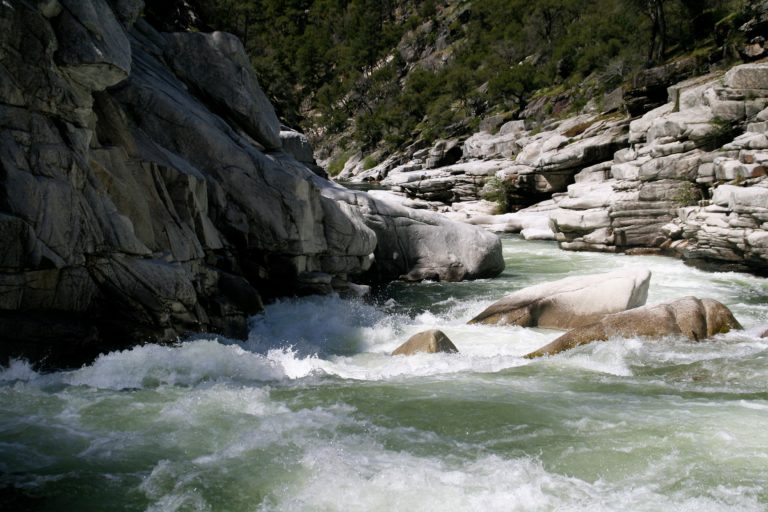
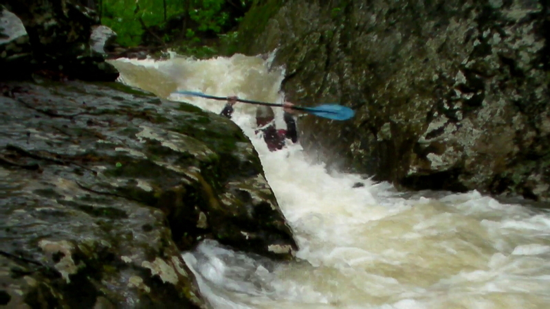
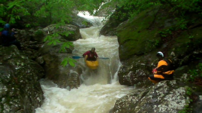
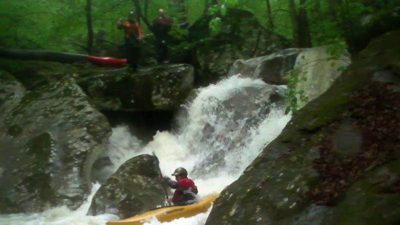
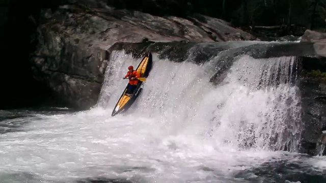
Once reaching the main creek, elevation 1530 msl, it starts of as fast class II-III for 0.4 miles. Once the first large boulders appear in the creekbed it transitions into a 0.6 mile long Class V-V+ cascade. The individual drops are piled on top of the next and most have a significant sieve or pin hazard to beware of.
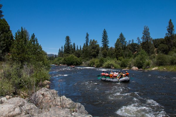
Once the Class V ends, it is back to Class II for the remaining 0.3 miles until Walnut Creek, then 3.5 more miles of Class II to the take-out bridge.
Put-in: Park at a pull-off on the North side of Hwy 16 (1.6 miles West of the Nail store and water tower) (35.841374, -93.306446). This .25 mile section of Hwy is only section with National Forest Land access to the creek without crossing private property. Carry across the road to the South and follow the small drainage .75 miles down to the main creek.
Take-out: From the Nail Store, take CR 7510 and turn left on CR 7520 to South to CR 7549, turn right then left on and park at the CR 7540 and park near the bridge at Walnut Creek.
Rapids in this Run (3)
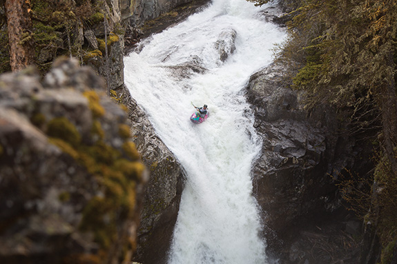
Waterfalls (1)
Hazards & Portages (8)
Caution: The following locations may require scouting or portaging. Always check current conditions.


Difficulty
Class II-V+
Length
4.9 mi
Gradient
255 ft/mi
max 420
Rapids
3
8 Hazards
Access Points
Difficulty Classes
I Easy
II Novice
III Intermediate
IV Advanced
V Expert/Extreme
VI Unrunnable
Current Conditions
5-Day Forecast
Whitewater data from
American Whitewater
American Whitewater