Newberry Rd to S.Laird Rd (5.7 miles)
Linked via: Nhdplus discovery 90% confidence Synced 6mo ago
Gauge Conditions
Runnable: 6.6 – 8.0 FT
Likely too low for areas of gradient to be boatable.
Data from American Whitewater & USGS
Run Map
Run Time Estimate
Select put-in and take-out to estimate time.
Unlock Advanced Trip Planning
See wind-adjusted speed maps, forecast planning, and detailed time estimates.
Sign in to generate an AI timing estimate for this run.
Whitewater timing varies with scouting, portages, and group pace. Use as a planning baseline.
Description
Located a twenty-four mile drive west from the popular L'Anse area, this West Branch Sturgeon (one of four in all of Michigan, three in the U.P.), is more akin to the streams of the Ontonagon watershed to the west. In the mile and a half that contains most of the whitewater in this reach, the river flows over a sandstone bedrock bottom featuring a series of slides and ledges. The slab streambed creates velocities greater than one may expect at this gradient and there are very few eddies as the river snakes its way through the woods.
Newberry Road dead-ends at the site of a former bridge over the West Branch. The latter part of this road does not see much usage, so expect road conditions to be poor in early season. At the end of the road, just east of the old bridge site is an unusual shrine to (or perhaps grave of?) "Joe the Plumb". This is marked by a wooden cross on which a spigot has been installed. The cross is decorated with a deer skull, and a number of bones lie about the base, along with a 3 wood golf club and a beer stein from the FBI. Curious to say the least.
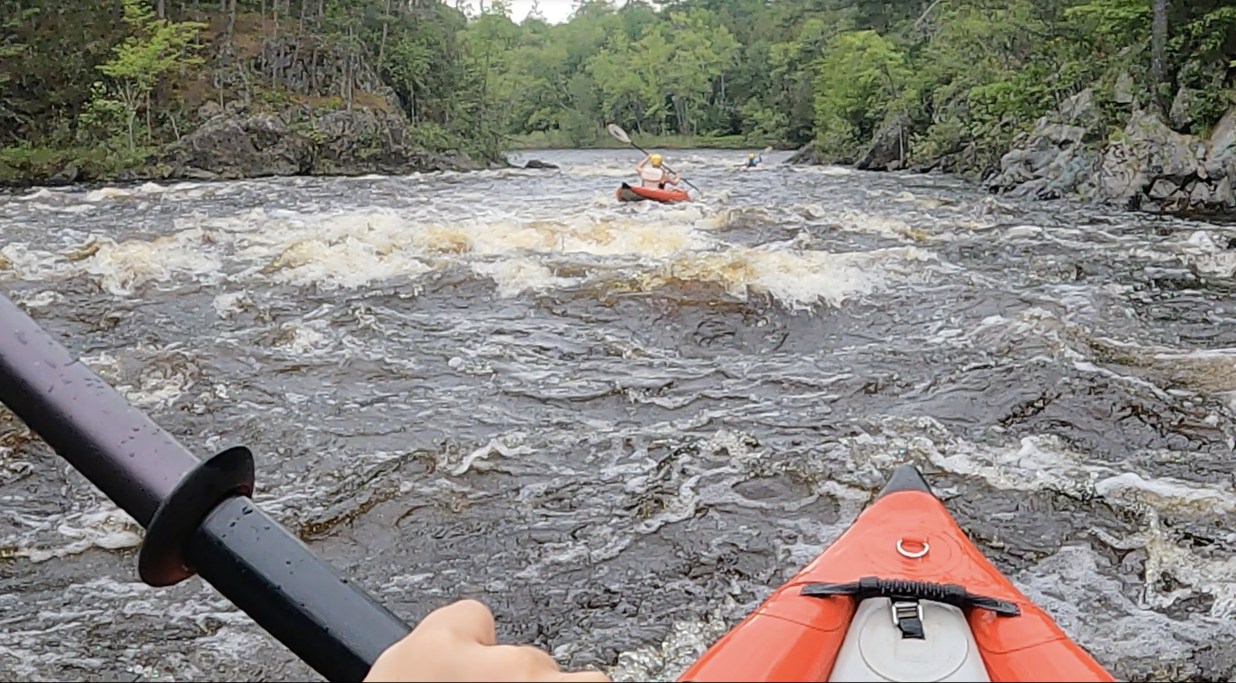
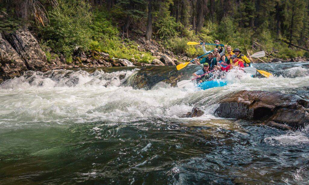
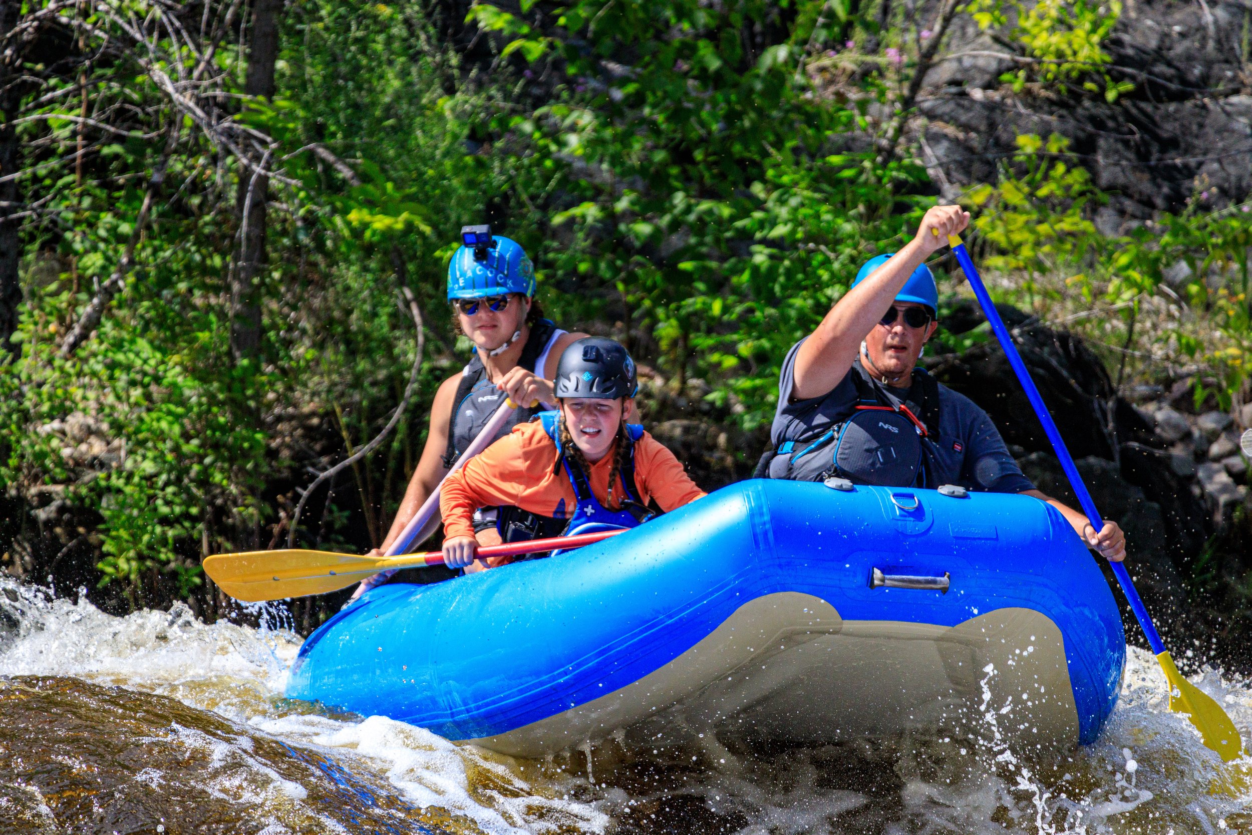
The river appears quite benign at the start, meandering through the forest with snags in the stream at several points. After about a mile of paddling, the river widens a little and accelerates into the first drop, _Hogger Falls_. The next stretch is pretty much continuous. As with all the drops here, if you wish to scout, look well downstream and get out as soon as you see the horizon line. Eddies are limited (or non-existent) in the approaches to many of the drops, so exit may require paddling to the bank and grabbing a tree. Hogger Falls is a slide of about 8'-10' into a small, mossy grotto under an overhanging cliff face. The drop can be run just about anywhere, with a higher angle drop river right and a lower angle slide river left.
From this grotto, the river turns hard to the left and takes off into the woods again. After a twist or two, a low angle slide sequence is encountered that ends in a turn to the left and puts one in the approach to another ledge. This ledge is about 5'-6' with a medium angle. The left side bottom of the ledge is obstructed within fallen rock and a "harpoon" log was pointed upstream (when we did our exploratory run) so run middle or right. A pair of vertical ledges (in the 3'-4' range) follow, one of which had a tree spanning the top. These ledges are fairly uniform so may create aggressive hydraulics at moderate to high flows, especially since they are somewhat undercut. This sequence culminates in a medium-sized, left-curving, low angle slide. Just around the bend from here lies _West Branch Falls_. This drop is a 6'-7' vertical in the center and left, with an unfriendly high angle slide on the right. Run off a high point with some speed. A short bit of class II rockbed follows before the river becomes a meandering stream through the forest once again.
The next 1 3/4 miles of river (until the confluence of Greenier Creek) are very heavily obstructed with downed trees as a result of the record high flows early April '02. The final 3/4 mile down to the take-out is clean. In light of all of these snags, it may be easier to take-out below West Branch Falls on river left and carry up to a logging road which parallels the upper part of the reach. Under good conditions, it may be possible to bring a 4WD vehicle in to this point but otherwise, it's a carry back of about 1 1/2 miles to Newberry Rd. This two-track road is the last obvious one on the left (east) when approaching the river, about 0.2 miles from the river. (Some reports suggest this may be gated.)
A photo essay may be found in the following blog site: Waterfall Record.
There is a _Vista Falls_ marked on many maps upstream of this reach. There is no falls on the West Branch at this location and the section of river is mainly quietwater. (Perhaps the falls refers to a side creek?)
A good companion piece to this reach may be had on the W.Br.Otter, which is located about five miles to the north. The W.Br.Otter has a larger watershed, so may be an alternate if this run is found to be too low.
Rapids in this Run (17)
Rapid
Access?
 Rapid
Rapid
Drainage area ~21 square miles.
Rapid
First drop sequence
Rapid
Snagfest may begin here
Rapid
West Branch Falls?
 Rapid
Rapid
Ledge/drop
 Rapid
Rapid
Short Ledge
 Rapid
Rapid
Short Ledge
Rapid
Unnamed Creek
 Rapid
Rapid
Slide/ledge
 Rapid
Rapid
Slide
 Rapid
Rapid
Perjury Creek
 Rapid
Rapid
Small ledge/wave/rapids
Rapid
Island
Rapid
Unnamed Creek
Rapid
Unnamed Creek
 Rapid
Rapid
Greenier Creek
Difficulty
Class I-IV
Length
4.5 mi
Gradient
47 ft/mi
max 116
Rapids
17
Access Points
Difficulty Classes
I Easy
II Novice
III Intermediate
IV Advanced
V Expert/Extreme
VI Unrunnable
Current Conditions
5-Day Forecast
Whitewater data from
American Whitewater
American Whitewater