Spencer Falls to West Forks
Linked via: Nhdplus discovery 90% confidence Synced 6mo ago
Gauge Conditions
Runnable: 800.0 – 13,000.0 CFS
Data from American Whitewater & USGS
Run Map
Run Time Estimate
Select put-in and take-out to estimate time.
Unlock Advanced Trip Planning
See wind-adjusted speed maps, forecast planning, and detailed time estimates.
Sign in to generate an AI timing estimate for this run.
Whitewater timing varies with scouting, portages, and group pace. Use as a planning baseline.
Description
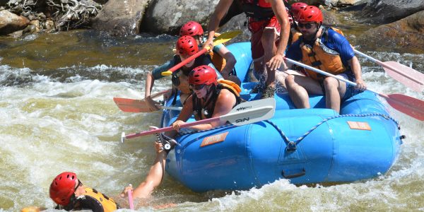
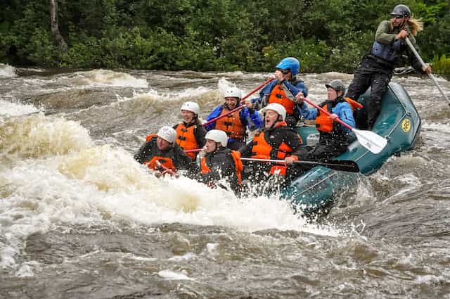
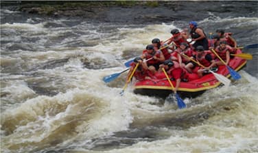
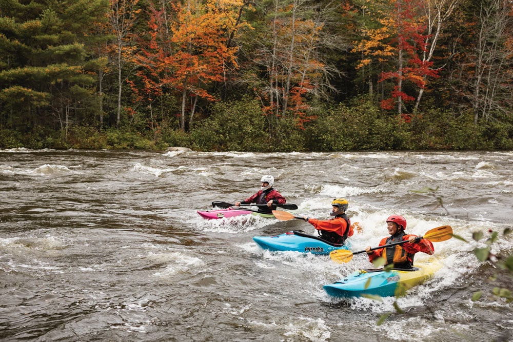
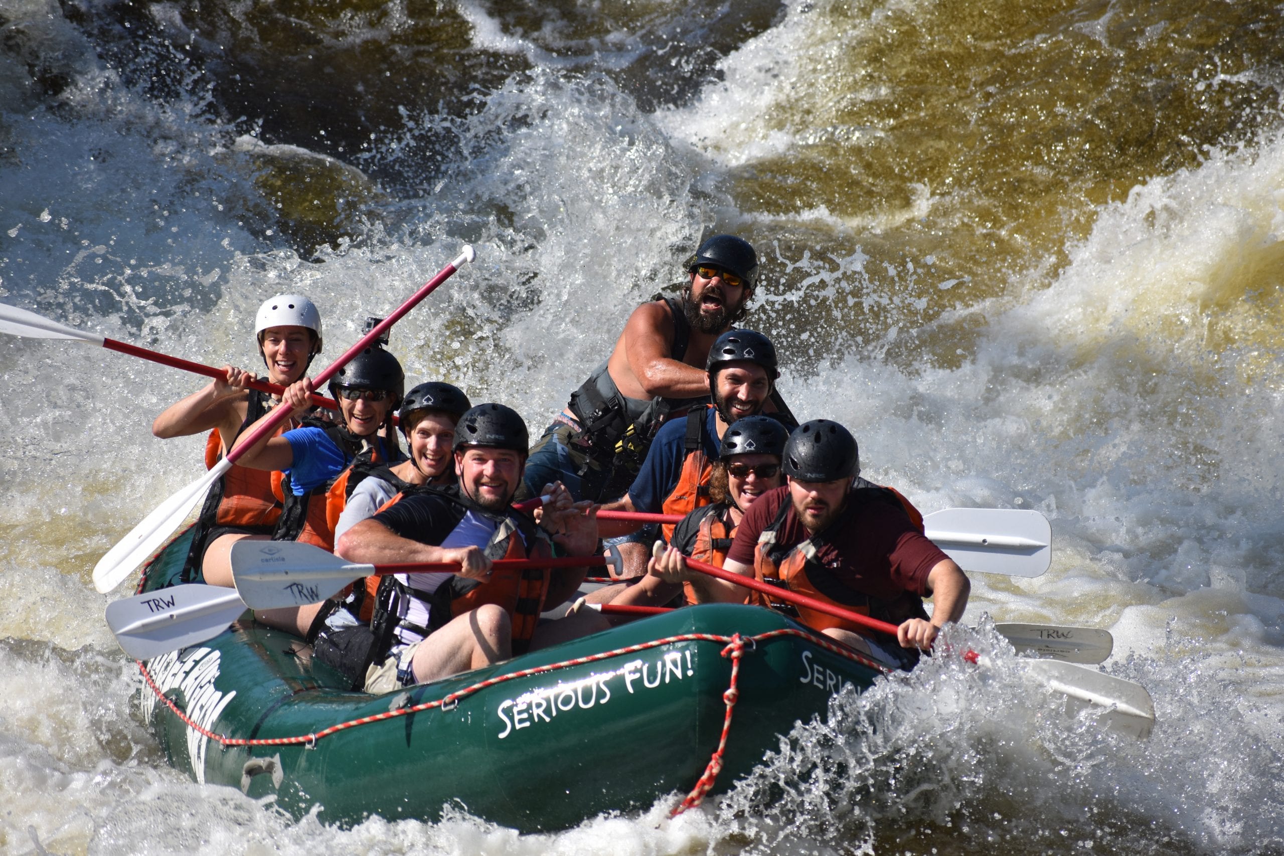
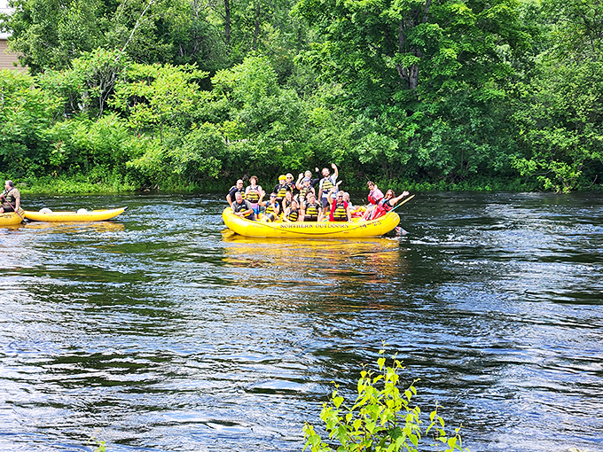
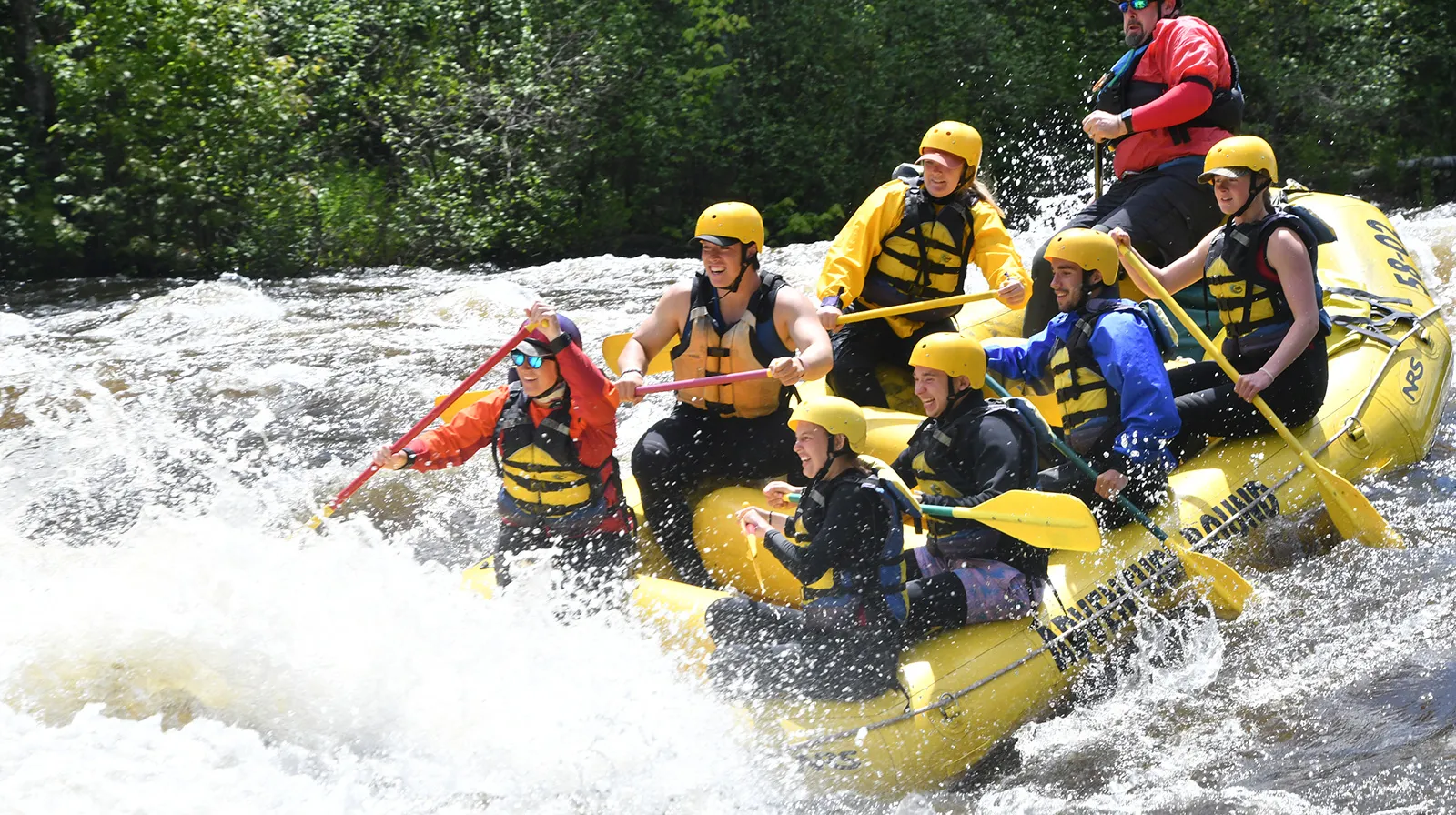
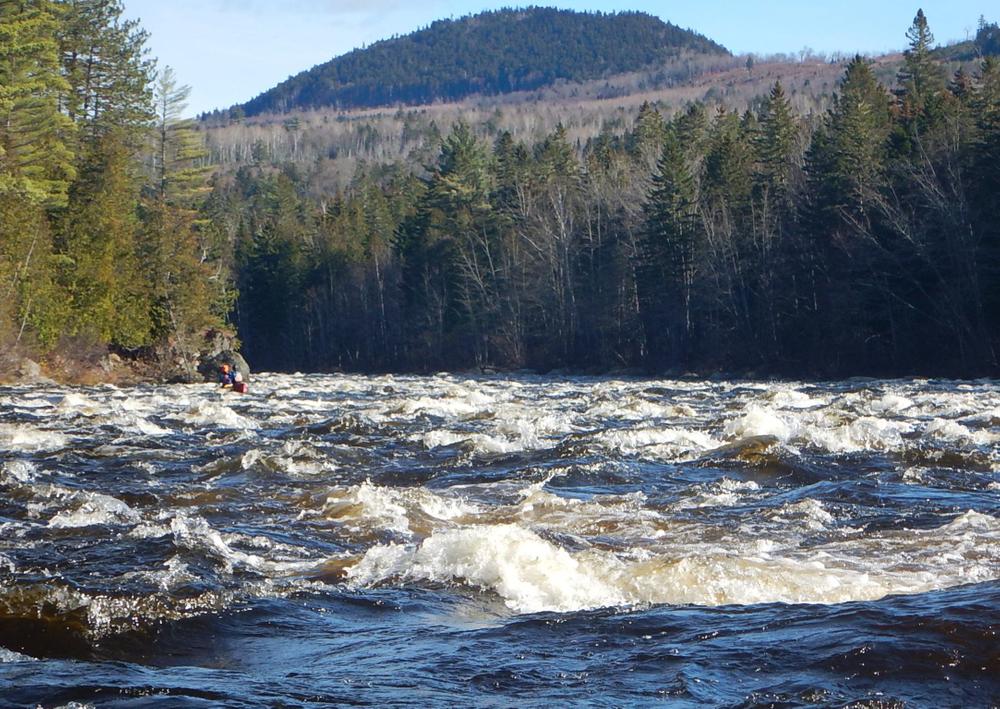
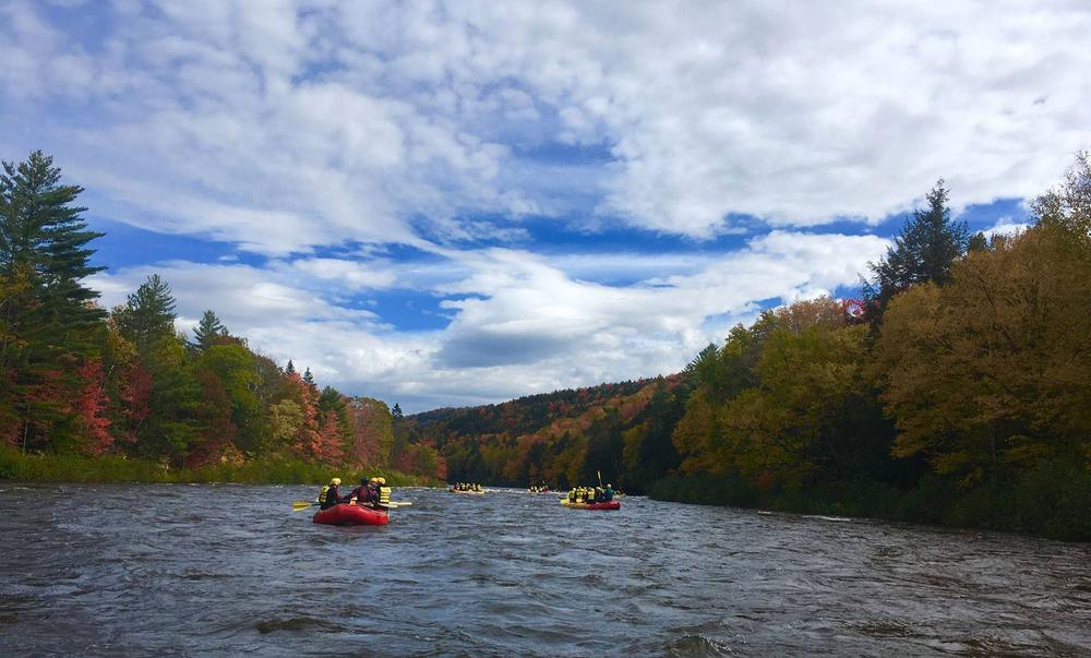
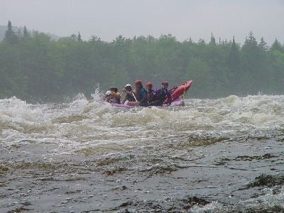
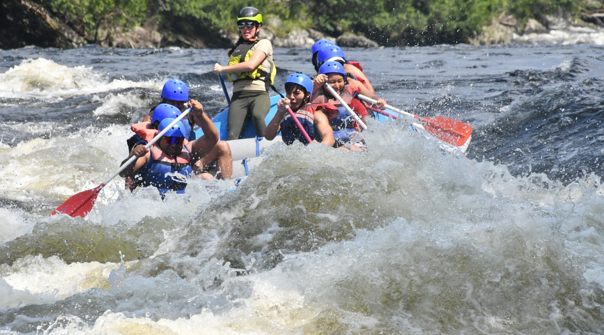
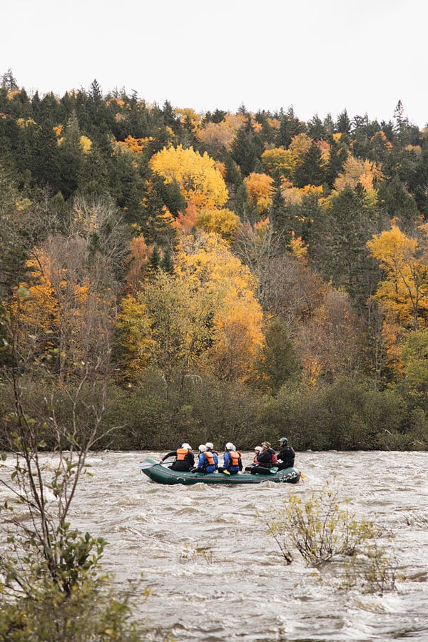
Located in an isolated corner of Northern New England, the Dead is one of the longest continuous sections of whitewater in the Northeast. With approximately thirty rapids
along a fourteen mile stretch it is an incredibly popular summer whitewater run.
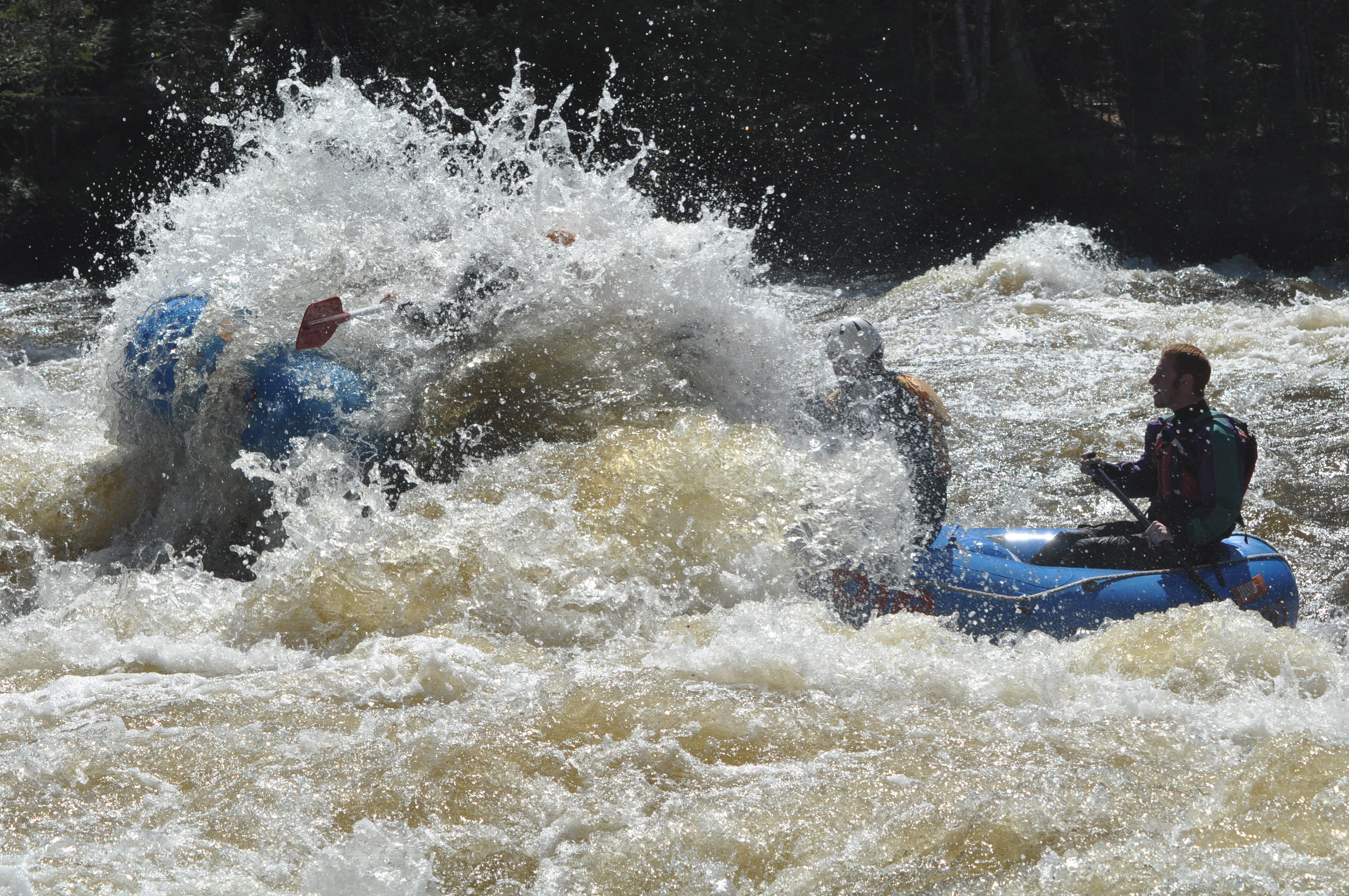
The river is primarily release controlled, although it also runs after periods of heavy rain. The difficulty of the river changes greatly depending upon release level. At lower levels (1200–1800) it is primarily class II (except for the very first, and last couple of rapids). At medium levels (2000–3500) it is class III; and at higher levels (4500–8000) class IV. The higher releases are generally during May, early June, September, and October. Expect huge crowds of rafters and boaters during these high-water releases. Summer releases are normally in the low-to-medium range.
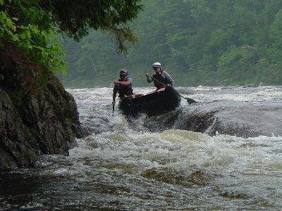
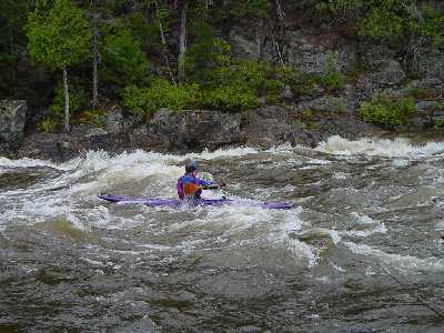
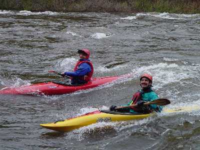
The river is mostly boulder type rapids with lots of holes and pourovers. There is simply too many features and rapids to be completely described. Only the highlights have been documented.
The shoreline and river bed are totally different from the neighboring Kennebec river. There is little shear wall cliffs on this river but thick vegetation grows right up to the rivers edge. This makes it very difficult to rescue swimmers and equipment.
### Technical info
```
Put in elevation........1000'
Take out elevation......591'
Total drop..............409'
Average drop/mile.......31'
Distance................13.35 miles
1st mile drop...........22'
2nd mile drop...........26'
3rd mile drop...........43'
4th mile drop...........27'
5th mile drop...........9'
6th mile drop...........19'
7th mile drop...........37'
8th mile drop...........33'
9th mile drop...........34'
10th mile drop..........38'
11th mile drop..........35'
12th mile drop..........32'
13th mile drop..........47'
13.3 mile drop.... .....7' (20' average)
River width average.....120'
River geology...........small to medium granite boulders
River water quality.....Good, clear except for higher water releases.
Scenery.................Excellent mountain and forest scenery.
Wildlife................Occasional deer, moose, hawks,
```
### Map of The Forks
_The Forks, Maine.__Map by Mark Lacroix_
### Map Key
1\. Webb's Dead River Campground & Shuttle Service: Shuttles to the Dead put in, campground with showers. To book a site at Webb's campground or shuttle call River Drivers to make the reservations. That phone number is: 207-663-4475. The cost is $8.00 per person, per night, plus 7% State tax.
2\. Appleton�s restaurant: Pizza, subs, ice cream, breakfast (207) 663-2114 .
3\. River Drivers: Rafting, etc 207-663-4475.
4\. Paddling shop: Dead River Outfitters
5\. Berry�s General Store: Gas, Beer, food, supplies, pizza, subs
6\. The Ball field campground: Primitive campsites, porta-poties, no showers. Take out for Lower Kennebec.
7\. Crab Apple Camping Rafting, hot tub, bar, food.
8\. Public Picnic area: also used as Lower Kennebec take out.
9\. The Marshall Hotel (Hotel Cocktails): Food, bar, horse shoes, pool table.
10\. Dead River takeout.
11\. Majic Falls Rafting: Raft trips, camping
12\. Three Rivers Whitewater & Kelly Brook campground
13\. Northern Outdoors Camping, Rafting, restaurant, hot tub, bar, entertainment
14\. North Country Rivers Rafting, etc.
15\. Professional River Runners: Rafting, etc.
16\. New England Outdoor Center: Rafting, paddling shop, etc.
17\. Indian Pond campground
Not on map:
Moxie Gore cabins: : $30 per night
Moxie Outdoor Outfitters: 866-663-2646 Large cabins $75 per night
Rapids in this Run (38)
 Rapid
II
Rapid
II
Unnamed Rapid
 Rapid
II
Rapid
II
Unnamed Rapid
 Rapid
II
Rapid
II
Unnamed Rapid
 Rapid
III+
Rapid
III+
The Mine Field
 Rapid
Rapid
Recovery Pool
Rapid
II
Unnamed Rapid
 Rapid
Rapid
Haydens Landing (Lunch)
 Rapid
II
Rapid
II
Unnamed Rapid
 Rapid
III
Rapid
III
Unnamed Rapid
 Rapid
Rapid
The Basin
 Rapid
Rapid
Gravel Pit Put-in
 Rapid
II
Rapid
II
Unnamed Rapid
 Rapid
II
Rapid
II
Unnamed Rapid
 Rapid
II
Rapid
II
Unnamed Rapid
Rapid
II+
Unnamed Rapid
 Rapid
III
Rapid
III
Enchanted Rapid
 Rapid
Rapid
Enchanted Stream
 Rapid
III
Rapid
III
Elephant Rock
Rapid
II+
Unnamed Rapid
Rapid
II+
Unnamed Rapid
 Rapid
II+
Rapid
II+
Pine Tree Beach Rapid
 Rapid
Rapid
Pine Tree Beach (Lunch)
Rapid
II+
Unnamed Rapid
 Rapid
III+
Rapid
III+
Mile Long Rapid
Rapid
Recovery Pool
 Rapid
III
Rapid
III
Unnamed Rapid
 Rapid
II
Rapid
II
Unnamed Rapid
 Rapid
II
Rapid
II
Unnamed Rapid
 Rapid
III
Rapid
III
Upper Spruce Ledge
 Rapid
III
Rapid
III
Lower Spruce Ledge
 Rapid
II
Rapid
II
Unnamed Rapid
 Rapid
Rapid
Race Course Put-in
 Rapid
III+
Rapid
III+
Upper Poplar Hill Falls
 Rapid
III+
Rapid
III+
Lower Poplar Hill Falls
 Rapid
Rapid
Access Road
 Rapid
Rapid
USGS Gage
 Rapid
Rapid
Public Parking Area
 Rapid
Rapid
Downtown West Forks
Hazards & Portages (1)
Caution: The following locations may require scouting or portaging. Always check current conditions.

Difficulty
Class II-III(IV)
Length
14.8 mi
Gradient
31 ft/mi
max 47
Rapids
38
1 Hazard
Access Points
Shuttle Info
### Directions to the Forks
Take I-95 North to Maine Exit 36 (Route 201) in Fairfield or Skowhegan.... Go north on 201 to The Forks (about 60 miles north on 201 from I-95). This will get you to West Forks Maine.
### Dead River Shuttle
Note: All mileages are approximate. New logging roads occasionally are built and old ones are abandoned. Traveling on the most used road is usually your best option. If you are unable to decide on a direction wait for a raft company bus or other boaters to pass. Another option is to use the shuttle provided by Webb's (207-663-2214) across the street from Berry's general store. Inquire there for times and availability.
1\. Start at Berry's General Store and travel north on route 201 approximately 2.8 miles.
2\. Take a left on a dirt road when you see "Old Timers Place", a gray building and road name on the right. This is point "A" on the map. Reset your trip counter at this point.
3\. Stay on the road most traveled all the way to the put in. Take a left at the fork at mile 4.7. This is point "B" on the map.
4\. At mile 6.9 pay the $4 ($20 season pass) per person road use fee at the paper company tollbooth. This is point "C" on the map. **Update: 5/12/04** It looks like International Paper has decided not to man their little gate house on the Dead Road this year. They have raised the fee for raft customers by 1$ and the rest of us get a free ride!!
5\. Left at mile 9.0. This is point "D" on the map.
6\. Right at mile 9.7. Taking a left here and proceeding 1/2 mile brings you to the gravel pit put in lower down on the Dead. Look for a wide trail on the right at the first "turn around" point. This is point "E" on the map.
7\. Take a right at mile 13.8 just after passing a parking area on your left. This road brings you down hill to the put in. Note: When many rafting companies are in the area you should park just before the right turn and carry down to avoid traffic on this steep narrow road. This is point "F" on the map.
As of May 2002, the shuttle road was in very good condition but can be very dusty during dry periods and somewhat muddy when raining. The last .2 miles downhill to the put has been graded and is also in very good condition. Any vehicle (except very low clearance) would be adequate for the shuttle.
[](/content/Photo/detail/photoid/35340/)_Map of Dead River Shuttle.__Map courtesy of [Google Maps](http://maps.google.com/maps?f=d&hl=en&geocode=8411786936633102717,45.348550,-69.982680%3B7162108002373204604,45.300567,-70.221600&time=&date=&ttype=&saddr=45.348485,-69.983135&daddr=45+18.034,+-70+13.296&mra=dme&mrcr=0&mrsp=0&sz=18&sll=45.348601,-69.983302&sspn=0.002439,0.00383&ie=UTF8&ll=45.319806,-70.102386&spn=0.15619,0.30899&z=12&om=1)_
Difficulty Classes
I Easy
II Novice
III Intermediate
IV Advanced
V Expert/Extreme
VI Unrunnable
Current Conditions
5-Day Forecast
Whitewater data from
American Whitewater
American Whitewater