Gauge Conditions
Photo

Description
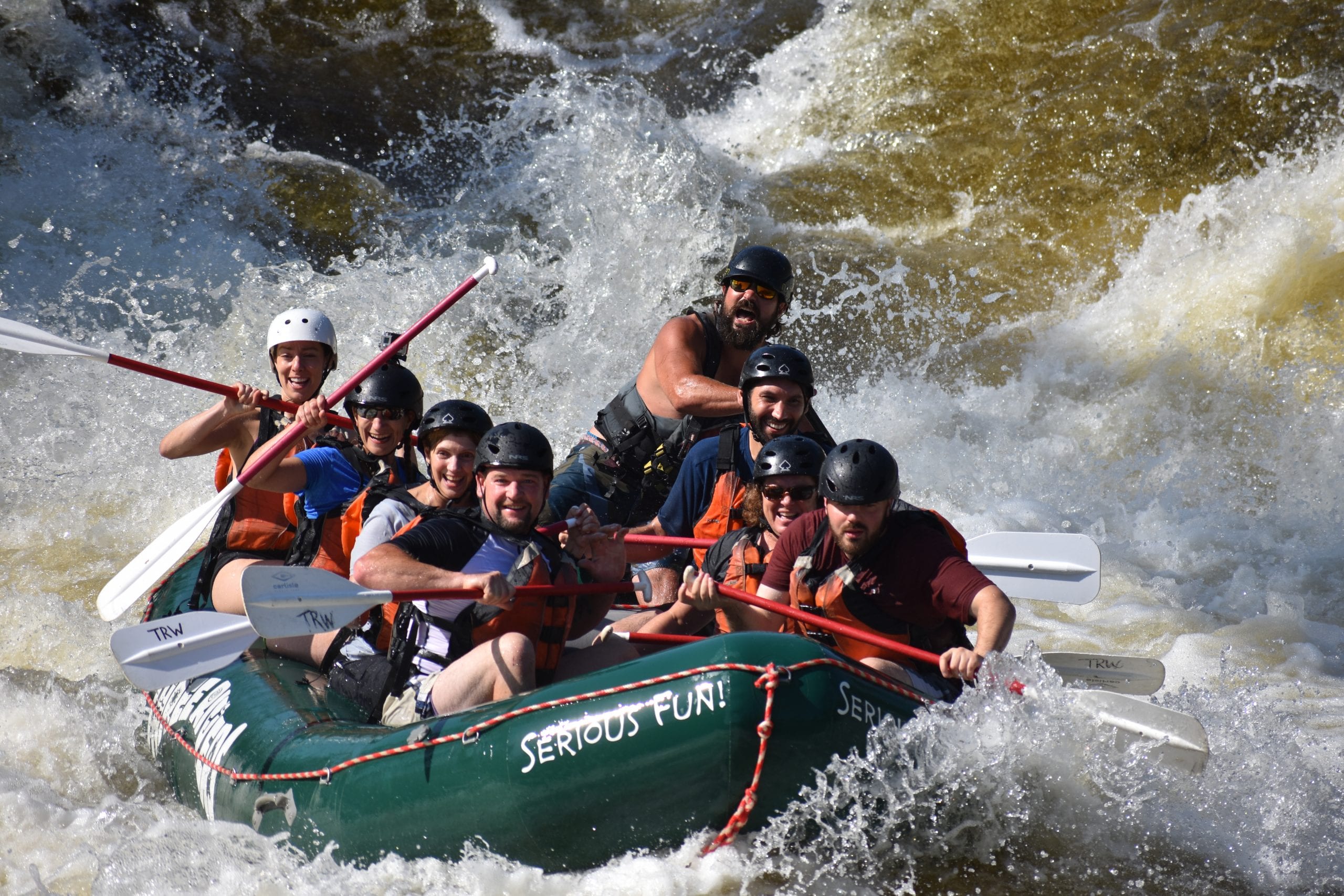
Near the bottom of Mile Long Rapid there is a very dangerous hole and hydraulic. This was the site of a fatality in October 2005; a near drowning in September 2006 that required an airlift evacuation; and numerous other close calls where both raft guides and passengers were trapped and unable to get free without outside assistance. Additionally the fatality in June 2017 was reported [second hand] to have occured here as well.
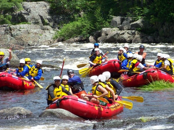
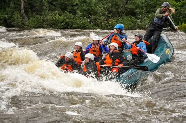
Evil Nasty Hole at 5500 CFS Photo taken from river-left shore on 9/2/07. Bottom of Mile Long at 5500. Downstream river-left shore view; Evil Nasty Hole in the foreground, FBI Hole on river-right in background. Photo taken on 9/2/07 from shore approximately 10 yards upstream of hole.
The name "Evil Nasty" is one name for this feature. Individual rafting companies and
paddling clubs may have their own names for different rapids and features. Regardless of what you
call it, this is the well-known dangerous spot on river-left near the bottom of Mile Long Rapid.
The problem hole is fairly benign looking (especially from above). Just looking at it you would not expect
it to cause these type of problems, but it is surprisingly retentive with a strong recirculating current. Only after
passing by is the steep drop-off and strong hydraulic visible.
This is a wide section of the river, this is not the only hole in the vicinity. The bottom of Mile Long is full of holes, including one big wide one near the bottom on river-right called the "FBI Hole". However these have all been generally described as "very flushy" and unlikely to hold someone for long. There is also another raft-surfable hole just upstream of Evil Nasty, so people sometimes may mistake the Evil Nasty one as being surfable. (This hole upstream of Evil Nasty can also flip boats and rafts, depositing swimmers directly into the path of the bad hole.)
Above Big Nasty is a relative calm section that may draw paddlers towards the left side in an attempt to avoid the large boiling wave train down the center. However the short calm section ends with Evil Nasty Hole followed by a final ledge drop into a flat area on river-left. With several "mean" holes on the right, and Evil Nasty on the left, the cleanest line thru the bottom of Mile Long is generally straight down the boiling wave train in the center of the rapid (although it doesn't appear so from the approach). Some people prefer a right-of-center run as the currents sometime push you left and a larger safety-margin is preferred.
Some descriptions place this hole as much as a quarter-mile below the bottom of Mile Long Rapid. Others place it just before the end of the rapid. These differences are attributed to the lack of a definitive location as to the exact end of the rapid. (Depending upon water level, the characteristics of the rapid can change greatly.) However, below Mile Long the river gets wide and flattens out with a huge open area and eddy along river-left where paddlers and rafts stop and regroup. (This flat area is also immediately above a very recognizible long rock wall lining the left bank.) The problem hole is located on river-left a few dozen yards above the flat area with a narrow channel between it and the left bank. In a hard boat it is fairly easy to skirt the hole between it and the bank, but rafts tend to be drawn back into the hole when this is tried.
At very high levels (7000 CFS and higher) two really big wave-holes form in a row just right-of-center at the end of Mile Long. One kayak was stuck in one of these at 13,000 CFS for a reported 10 minutes until it was literally flipped into the air.
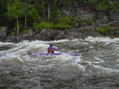
Evil Nasty Hole at a low level. Comparision showing river features that create Evil Nasty two different years illustrating the difference in release levels since the new USGS gage [upstream] was brought online. August 2015 was also a dry year and inflow from side-streams was minimal. 2297
Location
Other Rapids on This Run (20)
 Rapid
N/A
Rapid
N/A
 Playspot
III
Playspot
III
 Rapid
II
Rapid
II
 Rapid
II
Rapid
II
 Rapid
II
Rapid
II
 Playspot
II
Playspot
II
 Rapid
III+
Rapid
III+
 Rapid
Rapid
II
Rapid
Rapid
II
 Rapid
Rapid
 Playspot
III+
Playspot
III+
 Rapid
II
Rapid
II
 Rapid
III
Rapid
III
 Rapid
Rapid
 Rapid
Rapid
 Rapid
II
Rapid
II
 Rapid
II
Rapid
II
 Rapid
II
Rapid
II+
Rapid
II
Rapid
II+
 Rapid
Rapid
Current Conditions
5-Day Forecast
American Whitewater