How's Your
River
×
Explore
Explore Map
Water Bodies
Gauges
Access Sites
Tidal Stations
Whitewater
Pricing
Login
Sign Up
Hazard Warning:
Hazard information may be user-submitted and unverified. Conditions change frequently. Always scout rapids and obstacles yourself.
Whitewater
Maine
Kennebec - 1) Kennebec Gorge: Harris Station Dam to Carry Brook
Alleyway
Rapid
ME
Class IV
Alleyway
Kennebec - 1) Kennebec Gorge: Harris Station Dam to Carry Brook (ME)
Monitor this Rapid
Water Body
This Run
Map
Other Rapids
Gauge
Weather
Directions
Gauge Conditions
Kennebec River at The Forks, Maine
Downstream
Primary
Runnable: 350.0 – 13,000.0 CFS
Good play levels
Data from
American Whitewater
&
USGS
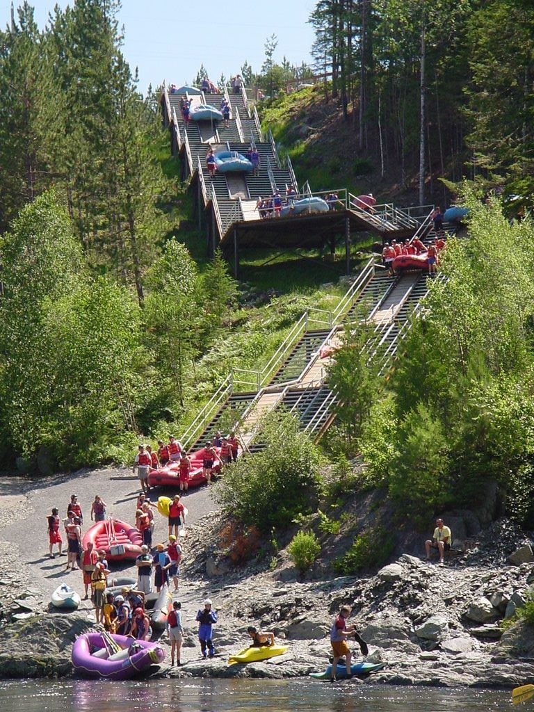
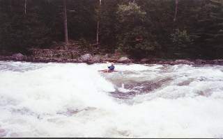
Photo
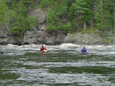
Photo courtesy of
American Whitewater
Description
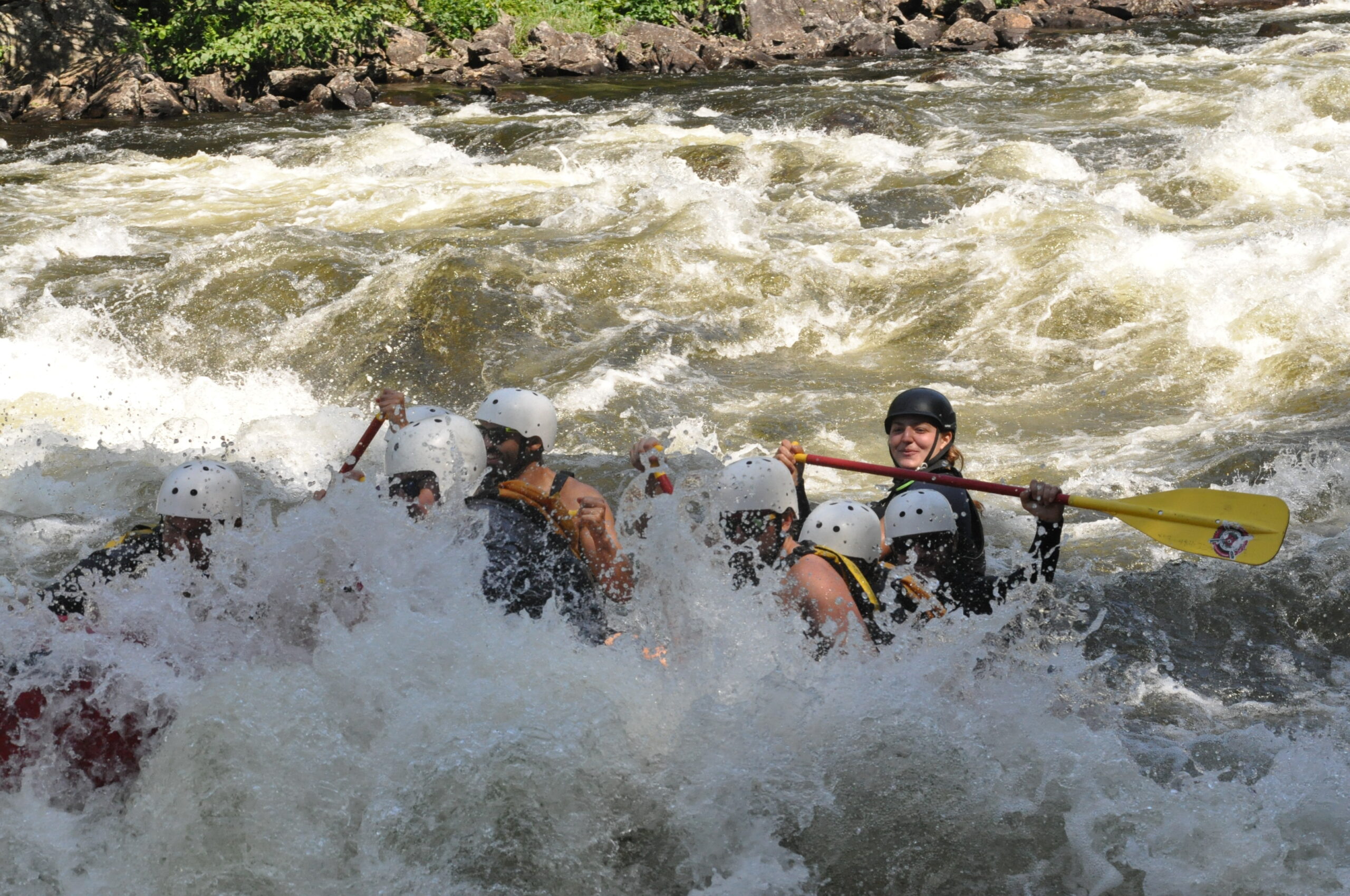
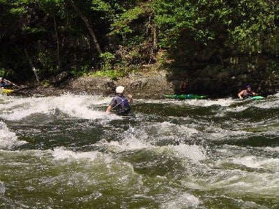
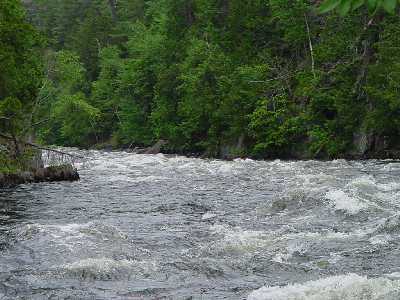
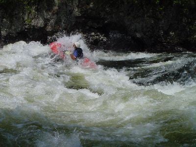
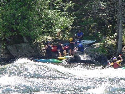
Long series of waves with much turbulence. A swim here will be about 3/4 of a mile to Cathedral Eddy. This section is similar to the waves and turbulence found in the Grand Canyon.
Location
Radar
Counties
Cell
Verizon
AT&T
T-Mobile
Dark
Satellite
Terrain
Other Rapids on This Run (9)
Rapid
Put in
0.0 mi
Rapid
The Forks Maine
0.0 mi
Rapid
Map Key
0.0 mi
Playspot
II+
Taster
0.3 mi
Playspot
III+
Rock Garden
0.8 mi
Rapid
IV
Big Mama (aka Three Sisters)
0.9 mi
Playspot
II+
Z-turn
2.2 mi
Rapid
IV
Magic
2.6 mi
Rapid
N/A
Take Out
3.4 mi
Type
Rapid
Difficulty
Class IV
Mile Marker
1.3 mi
Directions
Navigate
View Full Run
1) Kennebec Gorge: Harris Station Dam to Carry Brook
Kennebec
III-IV
3.4 mi
Current Conditions
5-Day Forecast
Whitewater data from
American Whitewater
Alleyway