Gauge Conditions
Data from American Whitewater & USGS
CDEC Flow Data California
Data from California Data Exchange Center (CDEC)
Description
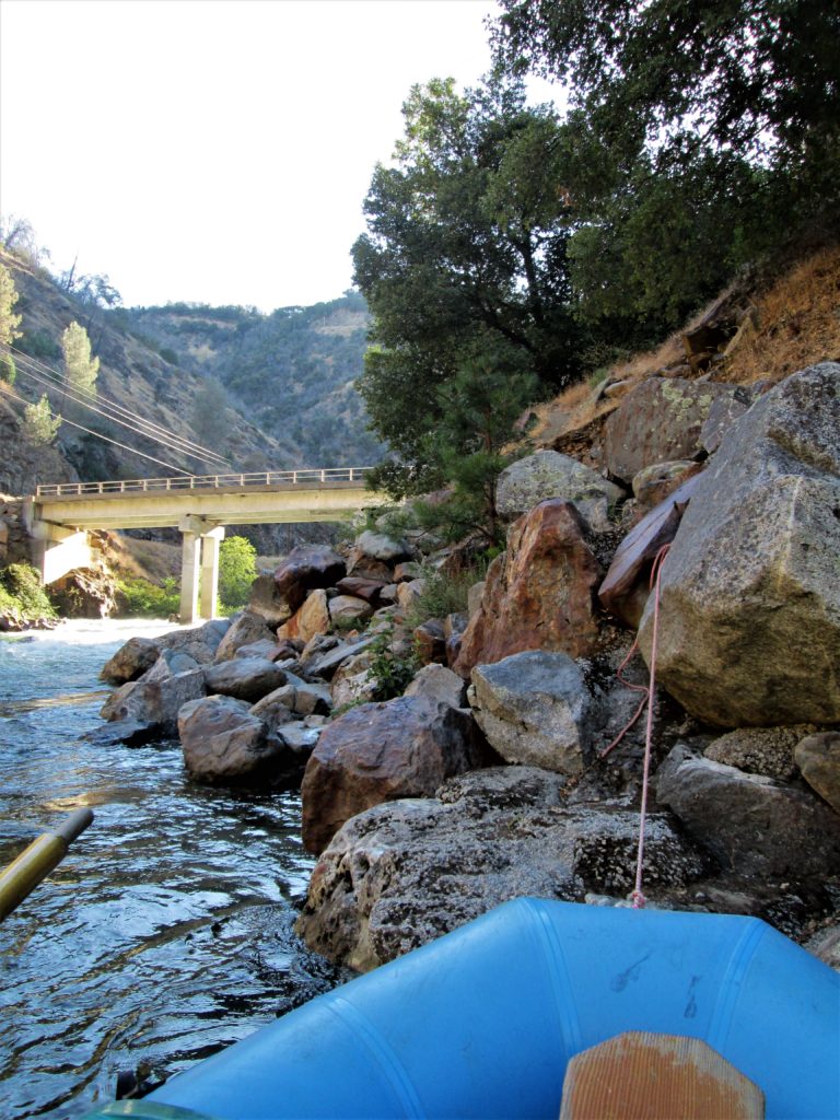
There is a large parking area with picnic tables, boat ramp, and grassy areas at this park next to Basso bridge. Turn off of Highway 132 just east of the bridge onto Lake Road. Immedeately turn into the park.
Location
Other Rapids on This Run (5)
View Full Run
5. Below La Grange
Tuolumne
I
19.3 mi
Current Conditions
5-Day Forecast
Whitewater data from
American Whitewater
American Whitewater