Gauge Conditions
Data from American Whitewater & USGS
CDEC Flow Data California
Data from California Data Exchange Center (CDEC)
Photo
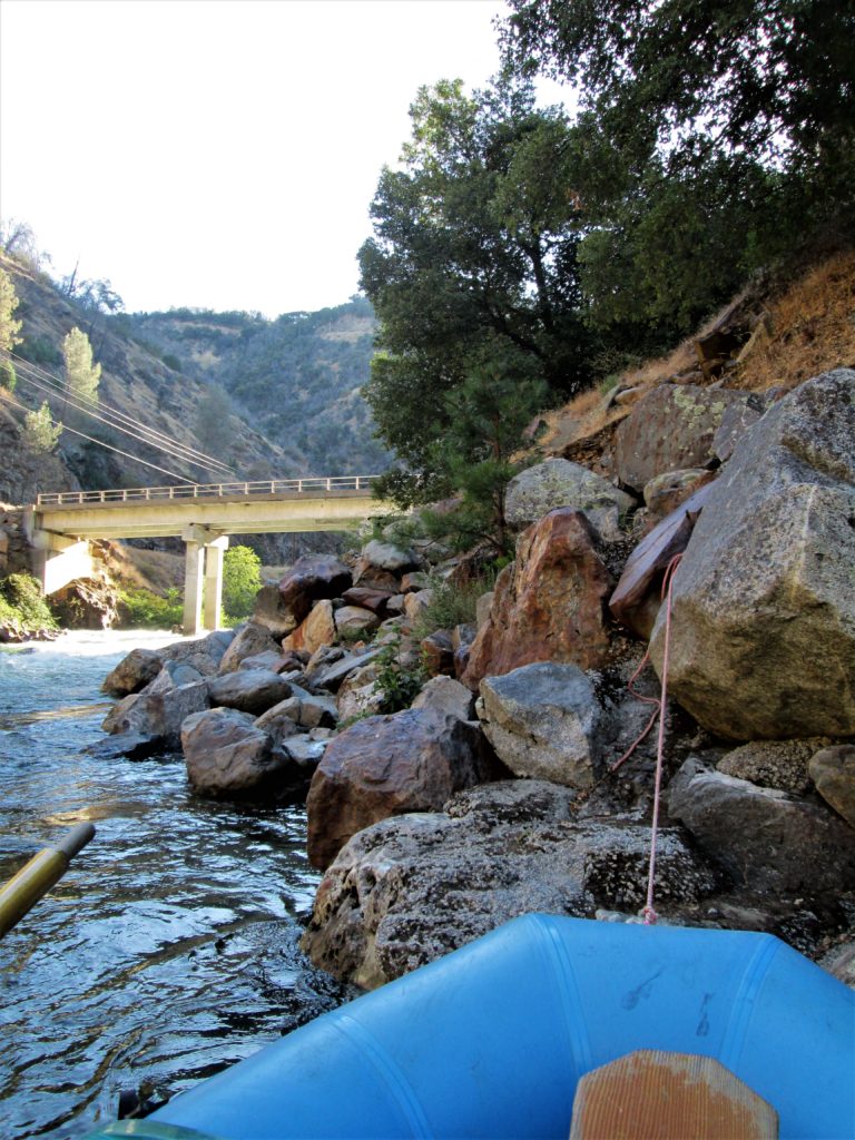
Photo courtesy of American Whitewater
Description
Take Out rapid on the Tuolumne River below La Grange is a complex exit point for boaters finishing their run, with potential hazards depending on water levels and flow. Paddlers should carefully assess the river conditions, potential obstacles near the shore, and ensure a safe extraction strategy that accounts for current speed and potential rocky or uneven terrain.
Location
View Full Run
5. Below La Grange
Tuolumne
I
19.3 mi
Current Conditions
5-Day Forecast
Whitewater data from
American Whitewater
American Whitewater