Rapid
ME
Bayous
Save this feature with the run it belongs to.
Gauge Conditions
Runnable: ? – ? CFS
Approximate - nearest available gauge. Use as general reference only.
Data from American Whitewater & USGS
Description
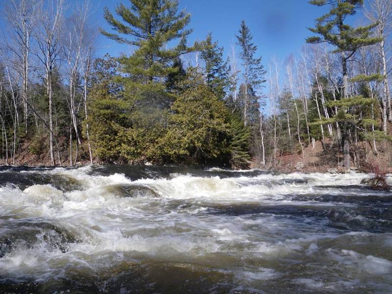
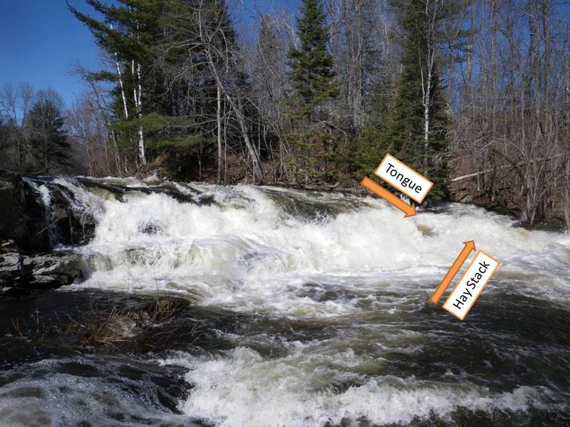
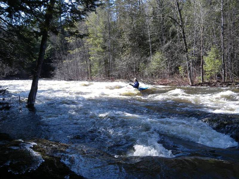
The river meanders through the woods for more than a mile, some bends can be cut off at higher water levels where you can literally float through the forest.
Location
Interactive river map
Loads as you approach this section.

View Full Run
Manning Mill Bridge to Rt.1A in Hampden
Souadabscook Stream
III+(IV)
3.2 mi
Current Conditions
5-Day Forecast
Whitewater data from
American Whitewater
American Whitewater