Manning Mill
Save this feature with the run it belongs to.
Gauge Conditions
Runnable: ? – ? CFS
Approximate - nearest available gauge. Use as general reference only.
Data from American Whitewater & USGS
Photo
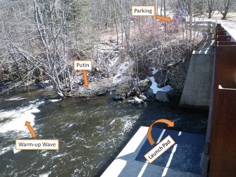
Photo courtesy of American Whitewater
Description
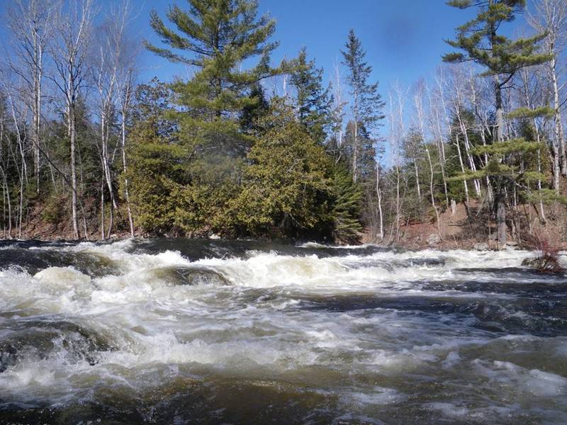
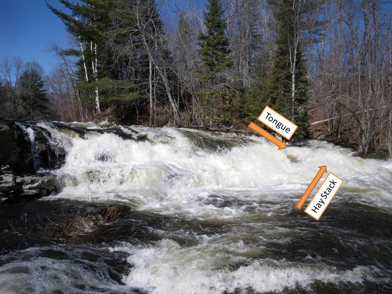
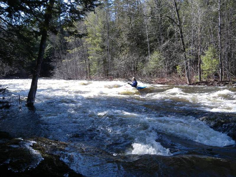
This is typically the put in. There is a rapid just up stream of the bridge but access has been an issue in the past. The land owners on both sides of the river have been known to take issue with trespassers, however with permission this can be a fun extra extension. There is a fun little wave/hole right after the bridge that should be played in. There is also a launch pad on the bridge abutment that can be used at higher levels, probe first but this can be a fun start to the run.
Location
Interactive river map
Loads as you approach this section.

View Full Run
Manning Mill Bridge to Rt.1A in Hampden
Souadabscook Stream
III+(IV)
3.2 mi
Current Conditions
5-Day Forecast
Whitewater data from
American Whitewater
American Whitewater